





— Blogs —
—Products—
 Consumer hotline +8618073152920
WhatsApp:+8615367865107
Address:Room 102, District D, Houhu Industrial Park, Yuelu District, Changsha City, Hunan Province, China
Product knowledge
Time:2025-05-09 15:36:48 Popularity:1698
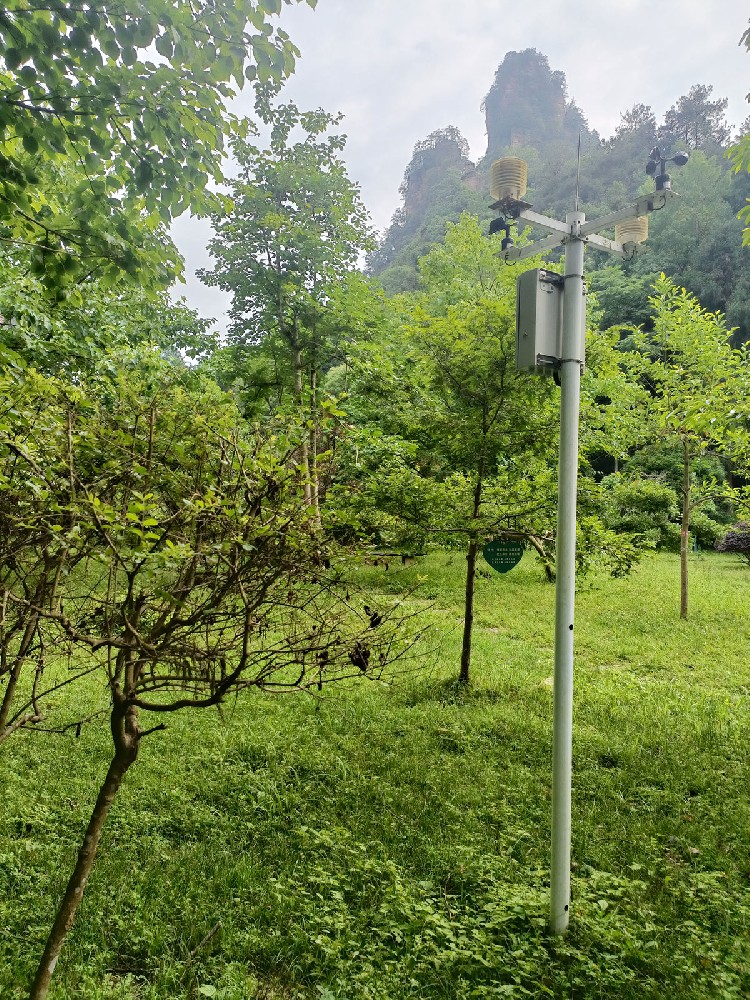
Forest fire weather station architecture should connect defined meteorological observations to the system that uses them. Sensors measure local conditions, a logger acquires and records values, and a receiving application applies the selected analysis and notification rules. NiuBoL weather instruments can supply this observation layer. A gateway connection does not itself calculate a validated fire-danger index, detect ignition or provide a drone communications network.
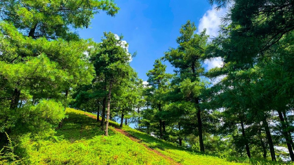
A forestry project may use the phrase early warning for several different outputs: weather observations, a calculated danger rating, a detector event and a message to an operator. The system designer needs to identify which equipment produces each output. Otherwise a quotation for wind, humidity and rainfall can be mistaken for a complete incident-detection and response platform.
The National Park Service explanation of fire danger describes the combined importance of weather, fuels and topography. A station's weather channels provide part of that information. The assessment method determines what additional inputs and calculations are required; there is no universal temperature-and-humidity threshold that turns any weather station into an operational fire-danger service.

| Layer | Function | Interface to specify |
|---|---|---|
| Field instruments | Measure wind, air conditions and precipitation at defined positions | Model, signal version, supply, units and observation location |
| Data acquisition | Read instruments, assign observation times and retain required records | Register maps, scaling, sampling and logging rules |
| Station communications | Transfer observations to the receiving system | Regional modem, network access, protocol and payload |
| Risk application | Apply the selected assessment method and show its input status | Required quantities, time periods, calculation responsibility and invalid-data behavior |
| Notification and operations | Route defined events to responsible personnel | Recipients, delivery checks, acknowledgement and operating procedures |
An external weather platform may already provide the risk application. In that case, ask its owner for an accepted data example before buying the station. A sensor register list and a server ingestion format are different documents. The integrator must map one to the other, including units and time conventions, without inventing missing quantities.
The NBL-W-LBTH atmospheric sensor combines air temperature, relative humidity and pressure. Separate NBL-W-SS wind speed and NBL-W-DS wind direction instruments can provide the wind channels. Rainfall requires its own suitable instrument. None of these channels directly measures moisture in live or dead forest fuels.
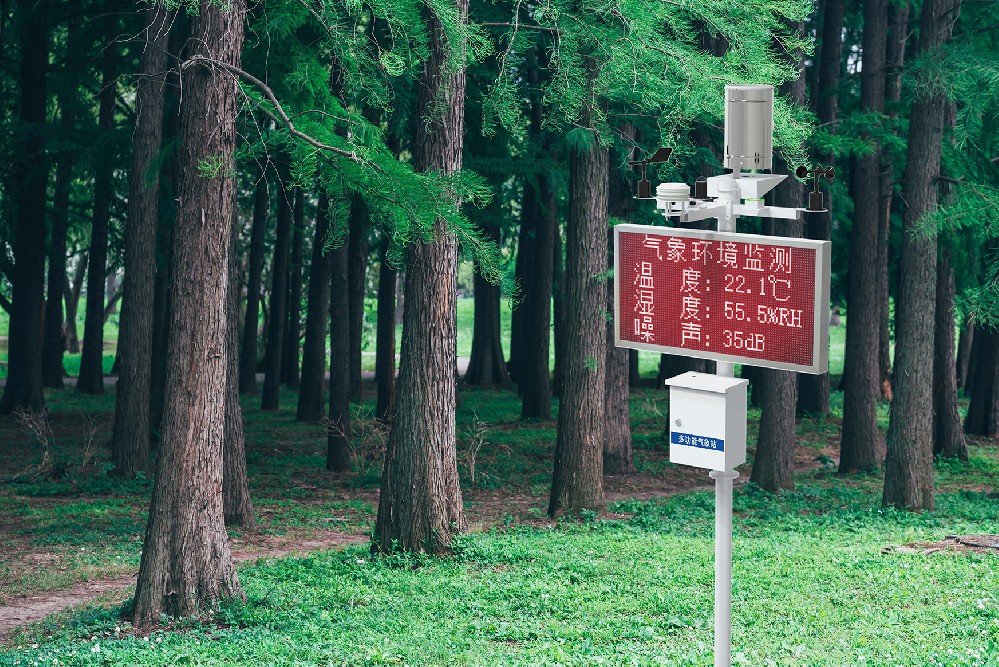
| Component | Relevant technical detail | Integration consequence |
|---|---|---|
| NBL-W-LBTH | Temperature -40 to 80 C, accuracy +/-0.5 C; humidity 0-100% RH, accuracy +/-5% RH | Keep air humidity separate from fuel or soil moisture |
| NBL-W-LBTH digital version | DC 12-24 V; RS485 Modbus RTU; default 9600 bps; minimum polling interval 1000 ms | Configure the actual serial format and decoded quantities |
| NBL-W-SS / NBL-W-DS | Separate wind channels; IP65 | Keep speed units, direction reference and mounting information with the records |
| NBL-W-RS | Liquid rainfall, 0.2 mm increments; operating temperature 0-50 C | Define accumulation windows; select another arrangement where freezing precipitation must be measured |
| TG462 acquisition gateway | Three RS485 ports, two Ethernet ports; IP30 | Provide suitable field-cabinet protection and a configured receiving-system connection |
Wind speed at one mast describes that location and exposure. A spread model may need terrain, fuels and additional wind treatment. Do not pass a mast reading to an application under a different height or unit simply because the software has a field with a similar name. Identify any conversion and its owner separately from the original observation.
The TG462 / TG462S logger family supports acquisition and networking options including MQTT, TCP/UDP and Modbus gateway functions. These capabilities help build an interface, but they do not make every private server compatible without configuration. Provide the broker or server requirements, authentication, channel identifiers and expected message structure.
Regional cellular bands must match the deployment country and operator. Optional Wi-Fi or GPS should be listed when required. If the project specifies another radio technology, verify the actual modem and gateway arrangement rather than copying a list of 4G, LoRa and NB-IoT into the quotation as though all were included. A weather sensor's RS485 connection is the field interface, not its wide-area network.
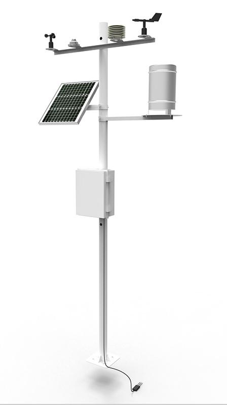
A useful station record identifies the station, observation time, parameter, value, unit and validity. The receiver should distinguish a recent transmission containing older observations from a new measurement. Define the time zone and whether interval timestamps mark the beginning or end of the period. Rainfall accumulation boundaries must match the analysis that consumes them.
Test a missing channel in the receiving application. It should not become a normal-looking zero or reuse an old value without showing its age. If an index requires an unavailable input, the application owner must define whether the result is withheld, flagged or calculated using an approved alternative. The equipment supplier should not invent this rule to keep a dashboard colored green.
The detector illustration below concerns separate fire-detection equipment. Its presence in a system drawing does not establish detection distance, field of view, false-alarm performance or included communications. Specify those properties against the actual detector and site. Weather information can accompany a detector event, but the two records should retain their own timestamps and origins.
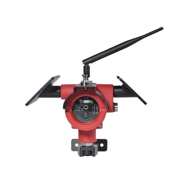
A detector event may require operator verification or another defined process before response. Likewise, connecting drone imagery to a control room is a separate integration task with its own equipment and operating constraints. An ordinary weather station package should not be presented as automatically providing thermal imagery, autonomous inspection or an airborne relay.
Begin with one station and one receiving endpoint. Trace selected sensor values from the local interface into the platform, then verify units, observation times and missing-input handling. Use agreed tests to distinguish a sensor communication loss from a wide-area outage. If local retention and retransmission are required, verify the delivered software's behavior rather than infer it from storage capacity.
Size power for the logger, communications, instruments and any separately ordered display or detector. Forest shading and access constraints affect the solar arrangement and service plan. For a NiuBoL proposal, provide the channel schedule, assessment software requirements, destination country, site layout and detection scope. This allows hardware, configuration and third-party application work to be quoted with clear responsibilities.
Not as a consequence of supporting industrial communications. Identify the selected method, its inputs and the software responsible for calculation. Request a demonstration using the proposed station records.
A compatible logger can collect the Modbus channels, but the platform connection still needs an accepted protocol, payload and authentication. Test one end-to-end message before scaling the network.
No. It is an atmospheric observation. A method requiring fuel moisture needs its prescribed measurement or estimation procedure; relabeling relative humidity does not supply it.
Only when separately specified and supplied. Their coverage, interfaces and operating procedures require their own verification. A meteorological channel list does not establish those capabilities.
It should preserve the missing or stale status. The application owner must define any permitted calculation fallback. A fabricated zero can make an apparently valid result misleading.
Send the sensor list, observation periods, platform interface example, site and power conditions, installation country and separate detection requirements. Identify who supplies the risk software and notification service.
Forest fire weather station architecture works when observations arrive at the risk application with the right meaning, timing and status. Keep sensor acquisition, communications, analysis and detection responsibilities distinct, then demonstrate their interfaces together. This provides a workable integration scope without assigning unsupported emergency or forecasting functions to a weather mast.
Prev:Weather Station Data for Agricultural Insurance: Agree the Source First
Next:Rainfall Meteorological Stations: Real-Time Monitoring of Rainfall
Related recommendations
Sensors & Weather Stations Catalog
 Agriculture Sensors and Weather Stations Catalog-NiuBoL.pdf
Weather Stations Catalog-NiuBoL.pdf
Agriculture Sensors Catalog-NiuBoL.pdf
Water Quality Sensor Catalog-NiuBoL.pdf
Related products
 Combined air temperature and relative humidity sensor
 TDR Soil Moisture & Temperature Sensor for irrigation| RS485 |4-20mA| NBL-S-THR
 Soil pH sensor RS485 soil Testing instrument soil ph meter for agriculture |NBL-S-PH
 Wind Speed sensor Output Modbus/RS485/Analog/0-5V/4-20mA
 Tipping bucket rain gauge for weather monitoring auto rainfall sensor RS485/Outdoor/stainless steel
 Pyranometer Solar Radiation Sensor 4-20mA/RS485


Screenshot, WhatsApp to identify the QR code
WhatsApp number:+8615367865107
(Click on WhatsApp to copy and add friends)

