

— Blogs —
—Products—
 Consumer hotline +8618073152920
 WhatsApp:+8615367865107
Address:Room 102, District D, Houhu Industrial Park, Yuelu District, Changsha City, Hunan Province, China
Product knowledge
Time:2024-07-10 14:21:33 Popularity:2071
If I install 2 visibility sensors on a 10km stretch of road, the first one at 0m and the second one at 5km, and the results of the first sensor do not match the results of the second sensor, how should I judge the visibility over a 10km range?
In order to judge the average or representative visibility over a 10km range, the following methods can be considered:
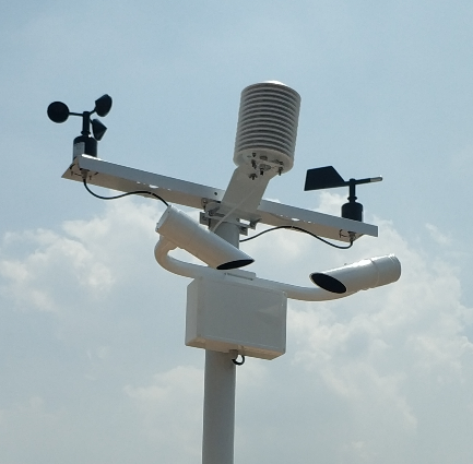
1. Weighted Average: The data from both sensors are weighted and averaged. Often, the data from the sensor closer to the observation point may be more accurate, so more weight can be given to the data from the sensor closer to the observation point.
2. Spatial interpolation: Spatial interpolation techniques, such as kriging or inverse distance-weighted interpolation, are used to estimate visibility at a range of 10 kilometres. These techniques can be used to extrapolate the visibility at a given location using data from multiple points.
3. Multi-point observations: If feasible, add more sensors to cover a wider area and then use data from all sensors to calculate visibility over a 10-kilometre area. This will improve the overall accuracy and representativeness of the data.
4. Real-time monitoring and adjustment: If you have a real-time monitoring system, adjustments and corrections can be made from the real-time data to more accurately reflect the actual visibility conditions.
In practice, the selection of the appropriate method depends on the accuracy of the sensor, the spatial distribution, and the accuracy requirements that need to be met. Taking all these factors into account, the visibility situation over a 10-kilometre stretch can be better judged.
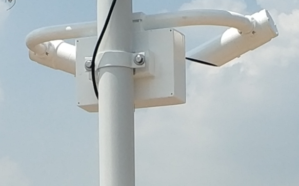
When two visibility sensors are placed on a 10km stretch of road and the first sensor does not give the same results as the second sensor, there are a number of factors that need to be taken into account to judge the visibility within this 10km area. The following are some suggested steps and methods:
I. Analyse the cause of the discrepancy
1. Environmental interference: Firstly, it should be considered whether there is a significant difference between the environments in which the two sensors are located, such as temperature, humidity, wind speed, wind direction, and possible obstructions (e.g. trees, buildings, etc.). All of these factors may affect the measurement results of the sensors. Check for other possible interfering factors such as nearby vehicles, construction activities or other sources of pollution.
2. Sensor performance: Sensors of different models may differ in terms of accuracy, sensitivity, and measurement principle. Therefore, even for the same type of sensor, the measurement results may not be exactly the same.
3. Installation position and height: The installation position and height of the sensor may also affect its measurement results. For example, sensors mounted on the side of the road may be more susceptible to vehicle exhaust, dust, etc., while sensors mounted in higher locations may be affected by wind and other natural factors.
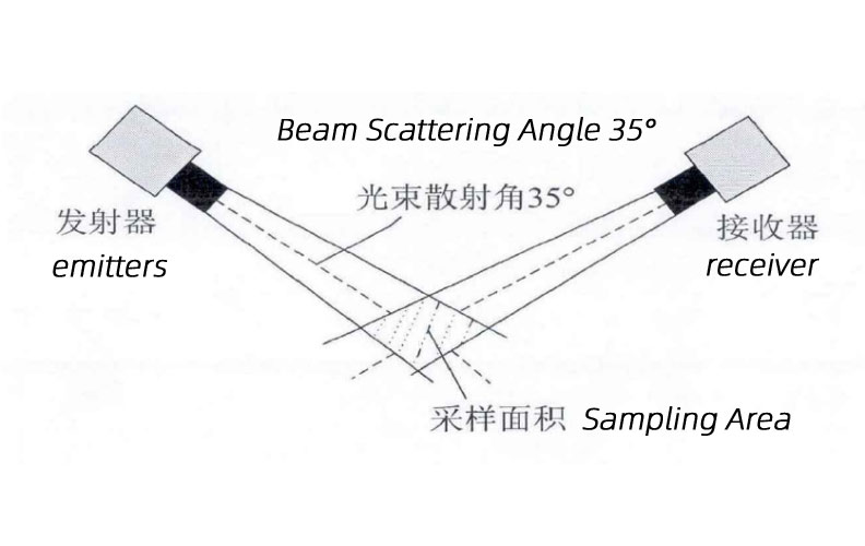
II. Verification and Calibration
1. On-site verification: If conditions permit, personnel can be dispatched to the location of the two sensors for on-site observation to verify that the sensor's measurements are consistent with the actual situation.
2. Calibration of the sensor: regular calibration of the sensor is an important means of ensuring the accuracy of its measurement results. The sensors can be calibrated using known standard values to check for deviations.
III. Data processing and analysis
1. Data Comparison: Compare the data from two sensors and analyse whether the difference between them is within a reasonable range. If the difference is too large, the cause needs to be further investigated.
2. Statistical analysis: If possible, collect data from more time periods and analyse them statistically. By calculating statistical quantities such as mean and standard deviation, a more complete picture of the difference between the measurements of the two sensors can be obtained.
3. If the difference between the two sensors is small and within a reasonable margin of error, then either take their average or choose one as a reference depending on the circumstances.
4. If the difference is large and beyond a reasonable margin of error, then the cause needs to be further analysed. It may be necessary to check the installation position of the sensor, calibration or environmental factors.
IV. Comprehensive judgement
1. Consideration of multiple factors: In judging the visibility within a range of 10 km, the various factors mentioned above should be taken into account in a comprehensive manner. For example, if the difference between two sensors is mainly due to environmental interference, attempts can be made to reduce the interference by adjusting the installation position of the sensors or adding protective measures.
2. Consider local effects:
Considering the small height difference between the two sensors, there may be some local effects (e.g. microclimatic differences, ground dust, etc.), but these do not usually have a significant impact on visibility over the entire 10-kilometre range.
3. If there are other meteorological observation points such as weather stations or airports in the vicinity of the road section, visibility data from these points can be consulted for reference.
4. Expand the monitoring range: If possible, add more visibility sensors at longer distances to obtain more comprehensive data. This will help you to judge the visibility situation more accurately over the entire 10-kilometre range.
5. In the absence of sufficient information to determine which sensor is more accurate, it is prudent to consider the results of both sensors and combine them with other meteorological data (e.g. temperature, humidity, wind speed, etc.) as well as on-site observations to make a comprehensive judgement of the visibility situation over the entire 10-kilometre range.
6. Expert Consultation: If the problem is complicated or difficult to solve, consult experts or organisations in related fields for more professional advice.
V. Cautions
1. Data reliability: In the process of analysis and judgement, it should be ensured that the data used are reliable and accurate. Avoid using wrong or invalid data to make judgement.
2. Continuous monitoring: Visibility is a dynamic process, so data from both sensors need to be continuously monitored to understand the changes.
It should be clear that even if the two sensors are installed at 0 metres and 5 kilometres and give different visibility readings, this is still only representative of the visibility at these two specific locations and their immediate vicinity. When two visibility sensors do not give the same results, it is necessary to analyse the cause of the discrepancy, verify and calibrate the sensors, process and analyse the data and make a comprehensive judgement to determine the visibility within the range. Therefore, more data and information need to be combined to make a more comprehensive judgement in practical applications.
Related recommendations
Sensors & Weather Stations Catalog
 Agriculture Sensors and Weather Stations Catalog-NiuBoL.pdf
Weather Stations Catalog-NiuBoL.pdf
Agriculture Sensors Catalog-NiuBoL.pdf
Water Quality Sensor Catalog-NiuBoL.pdf
Related products
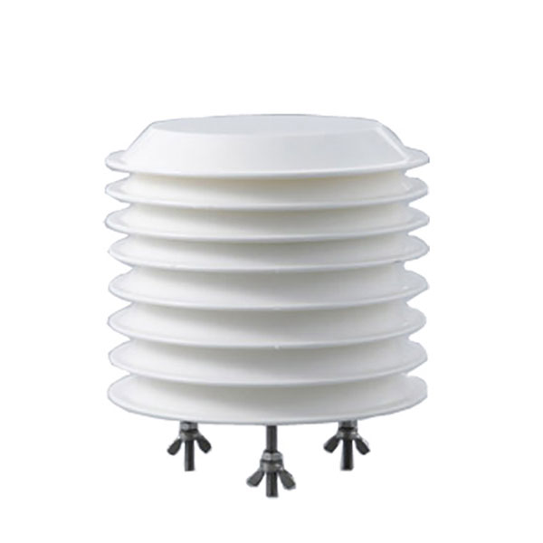 Combined air temperature and relative humidity sensor
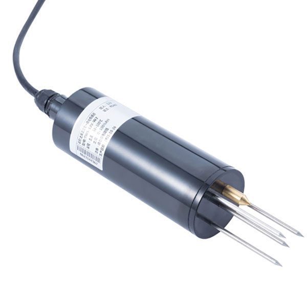 TDR Soil Moisture & Temperature Sensor for irrigation| RS485 |4-20mA| NBL-S-THR
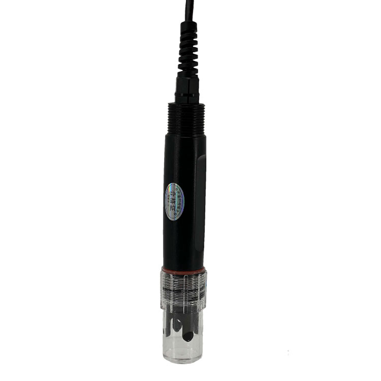 Soil pH sensor RS485 soil Testing instrument soil ph meter for agriculture |NBL-S-PH
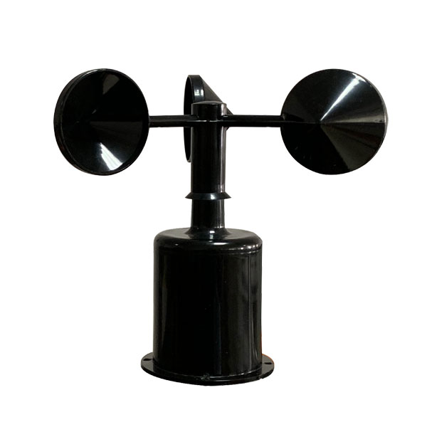 Wind Speed sensor Output Modbus/RS485/Analog/0-5V/4-20mA
 Tipping bucket rain gauge for weather monitoring auto rainfall sensor RS485/Outdoor/stainless steel
 Pyranometer Solar Radiation Sensor 4-20mA/RS485

Screenshot, WhatsApp to identify the QR code
WhatsApp number:+8615367865107
(Click on WhatsApp to copy and add friends)