





— Blogs —
—Products—
 Consumer hotline +8618073152920
WhatsApp:+8615367865107
Address:Room 102, District D, Houhu Industrial Park, Yuelu District, Changsha City, Hunan Province, China
Product knowledge
Time:2025-10-25 10:57:08 Popularity:1344
Smart agriculture sensor adoption by country is not a single comparable ranking. National surveys, research projects and public advisory services describe different kinds of activity. For distributors and project teams, the useful comparison is how crop systems, farm scale, connectivity and service arrangements change the sensor requirement. Six country examples illustrate those differences without implying that every farm follows the same approach.
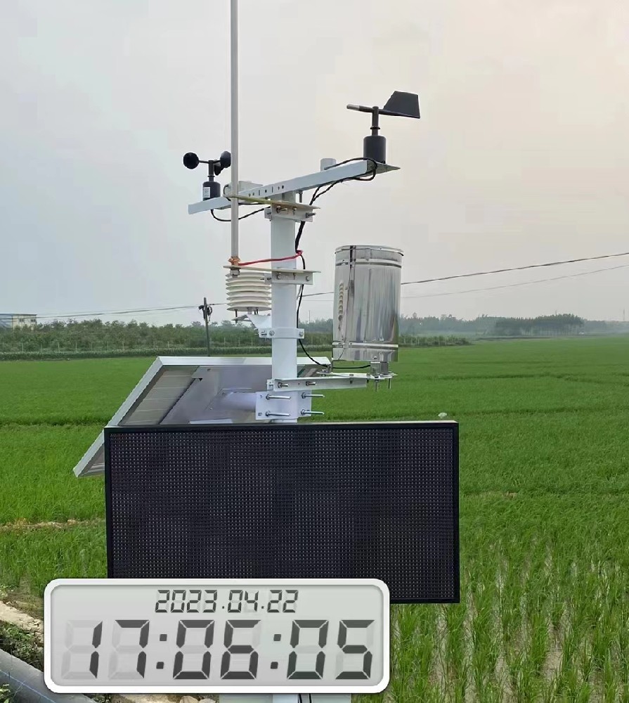
A survey counting farm-management software is not a survey of installed soil probes. Tractor guidance, satellite imagery, weather stations and irrigation controls may all appear under precision or digital agriculture. A national percentage is useful only when the technology, farm population and survey date are clear.
The following examples show documented areas of activity and the project questions they raise. They are not market-share estimates or a league table. Research facilities demonstrate what can be investigated; policy plans show intended development; neither alone establishes adoption on every commercial farm.
USDA Economic Research Service analysis of 2023 data reports that precision-technology use varies by farm size and technology. That does not translate directly into one national soil-sensor adoption rate. A distributor should distinguish machinery-related data services from a project requiring permanent field observations.
For a multi-field monitoring proposal, ask who manages the observations, how fields differ and whether the farm needs local records or centralized access. Do not select the same station count for every acreage without considering the actual crop and observation layout.
China's 2024-2028 smart agriculture action plan includes field monitoring, digital services and several agricultural production settings. It describes a development program rather than a performance guarantee for any sensor package.
A field demonstration and a continuing production service need different operating arrangements. Identify the local crop, irrigation method, receiving platform and service owner before specifying weather, soil or water-quality channels. Policy interest alone does not establish project funding or subsidy eligibility.

Wageningen University & Research describes sensor-network development and validation in greenhouse and open-field settings. This supports a practical distinction: a greenhouse climate measurement and an outdoor weather observation have different exposure and integration needs.
For protected cultivation, identify the growing zone and the variable needed by the crop-management system. General illuminance, solar irradiance and plant-light measurements are different quantities. A long parameter list does not establish that the selected light channel supports the intended cultivation decision.
Brazil's Ministry of Agriculture identifies rural connectivity as infrastructure for digital agriculture. A working internet connection at a farm office does not demonstrate coverage at every proposed monitoring point.
For a distributed installation, separate the sensor-to-logger connection from onward transfer. Check coverage where the equipment will operate and decide how local records will be retrieved during interruptions. This is a site-level engineering question, not a reason to label an entire country as fully connected or disconnected.

The Volcani Institute's soil and water research includes irrigation and water-resource management. That research context does not support a claim that almost all farms use one particular type of sensor.
For an irrigated crop project, specify root depth, soil or substrate, emitter position and water conditions. Moisture and conductivity provide different information. A single moisture percentage cannot serve as a universal irrigation threshold across soil types, crops and growth stages.
The India Meteorological Department's agromet advisory service provides district and other advisory bulletins. The availability of advice is different from the installation of a private weather station at every farm.
A project team should identify which local observation would improve the existing decision process. Root-zone measurements or a local rainfall record may add useful context, while duplicating information without a service plan can create equipment that is rarely used. Keep forecast information distinct from measurements made at the field.
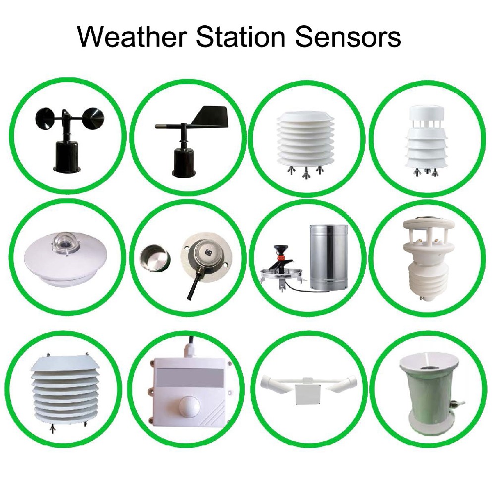
| Project condition | Question for the sensor schedule | Procurement consequence |
|---|---|---|
| Different cultivation zones | Which points represent the crop environment? | Choose observation positions before multiplying devices |
| Intermittent coverage | Which records remain available locally? | Check acquisition and onward transfer separately |
| Existing advisory service | Which local measurement adds missing information? | Avoid duplicating a service without a defined task |
| Distributed maintenance | Who can inspect, clean and replace instruments? | Include practical service access and spare compatibility |
Smart agriculture sensor adoption by country can help frame a discussion, but the final design needs the farm's actual conditions. A small research plot can need detailed measurement documentation, while a large farm may need only a focused set of operational channels. Neither budget nor precision requirements follow automatically from national income categories.
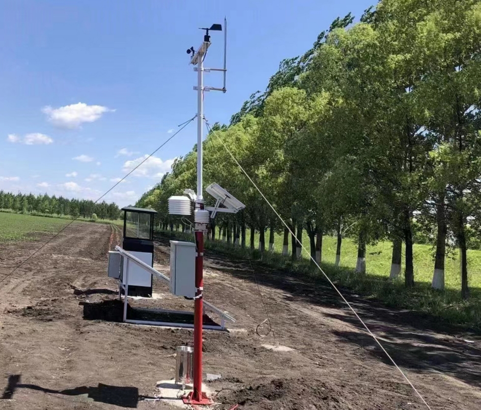
A NiuBoL NBL-S-TMC probe measures soil temperature, moisture and EC through RS485 Modbus RTU. EC does not identify individual nitrogen, phosphorus or potassium concentrations. Select nutrient-specific analysis separately when that information is required.
Weather observations and soil measurements also have different spatial meanings. A weather station describes its atmospheric exposure; a buried probe describes conditions around its depth and location. Record both positions so users understand what the combined dataset represents.
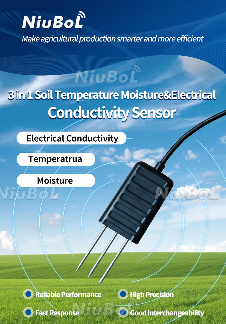
Before expanding a pilot, establish who reviews the readings and what action follows an abnormal value. Include installation checks, cleaning access and a method for comparing a suspect channel. Purchasing connected equipment does not automatically provide agronomic interpretation or an automated irrigation policy.
For a configuration review, send NiuBoL the crop system, proposed locations, required quantities, available power and receiving equipment. Cellular bands, SIM arrangements and data access must match the destination and project; no device should be assumed to support every network or platform.

A defensible answer needs a common sensor definition, comparable farm population and consistent survey period. General digital-agriculture rankings do not establish a ranking for installed weather or soil instruments.
Only after reviewing the measurement task, exposure and installation. Greenhouse zones, field soil variability and external weather observations need different placement and service arrangements.
No. A national plan does not establish eligibility or current funding for an individual purchase. Confirm the applicable local program separately from the technical equipment specification.
They provide different information. Forecasts describe expected weather, while soil probes observe local root-zone conditions. Determine whether the management decision needs one source or both.
Confirm the actual customer task, measurement channels, destination communications and local service capacity. A broad national market narrative is not enough to select a compatible repeat-order configuration.
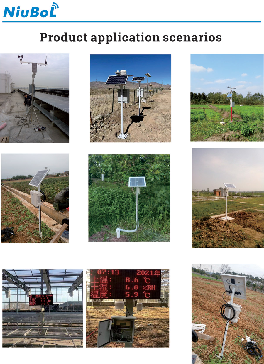
Use smart agriculture sensor adoption by country to understand different operating contexts, not to promise universal penetration or returns. Crop systems, coverage and service capability determine which observations become useful. A project-specific instrument schedule turns that context into a practical equipment decision.
Prev:Drones and Ground Sensors in Agriculture: From Crop Maps to Field Checks
Next:Evolution of Agrometeorological Stations: Records, Loggers and Networks
Related recommendations
Sensors & Weather Stations Catalog
 Agriculture Sensors and Weather Stations Catalog-NiuBoL.pdf
Weather Stations Catalog-NiuBoL.pdf
Agriculture Sensors Catalog-NiuBoL.pdf
Water Quality Sensor Catalog-NiuBoL.pdf
Related products
 Combined air temperature and relative humidity sensor
 TDR Soil Moisture & Temperature Sensor for irrigation| RS485 |4-20mA| NBL-S-THR
 Soil pH sensor RS485 soil Testing instrument soil ph meter for agriculture |NBL-S-PH
 Wind Speed sensor Output Modbus/RS485/Analog/0-5V/4-20mA
 Tipping bucket rain gauge for weather monitoring auto rainfall sensor RS485/Outdoor/stainless steel
 Pyranometer Solar Radiation Sensor 4-20mA/RS485


Screenshot, WhatsApp to identify the QR code
WhatsApp number:+8615367865107
(Click on WhatsApp to copy and add friends)

