

— Blogs —
—Products—
 Consumer hotline +8618073152920
WhatsApp:+8615367865107
Address:Room 102, District D, Houhu Industrial Park, Yuelu District, Changsha City, Hunan Province, China
Company news
Time:2026-10-29 09:30:00 Popularity:17
NiuBoL has supplied radar-based flow measurement, radar water level sensing and communication equipment to Zimbabwe. These instruments address a common challenge in hydrological monitoring: how to observe moving water without placing sensitive measuring components directly in the channel.
A radar flowmeter is normally installed above a river or open channel. It transmits radar signals toward the water surface and uses the Doppler frequency shift in the reflected signals to estimate surface velocity. Suitable models also include radar distance measurement to determine water level.
Surface velocity is not automatically the same as total discharge. Estimating discharge in m³/s requires information about the channel cross-section and an appropriate method of relating measured surface velocity to mean channel velocity. This is why river or canal geometry matters when planning a flow-monitoring station.
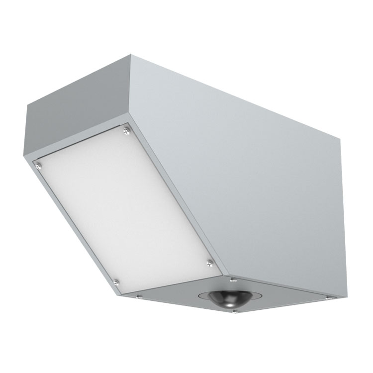
Radar flow instruments observe surface movement from above the water.
A radar water level sensor measures the distance between the instrument and the water surface. With a known reference elevation or mounting height, the distance can be converted into a water level reading. Unlike a flowmeter, its primary purpose is to track changes in water-surface height, not flow velocity.
Water level and flow readings are complementary: one shows how high the water is, while the other helps describe how the water is moving.

Radar level measurement is useful for rivers, reservoirs and drainage channels.
The shipment also included data communication equipment. With compatible RS485 devices, suitable power and network coverage, a data transmission unit can provide a link between field measurements and a remote monitoring platform. This can be valuable for widely separated measuring sites.
Zimbabwe's river systems, reservoirs and irrigated agricultural areas create demand for reliable water observations in water-resource studies, canal monitoring and flood-related monitoring projects. Non-contact measurement is particularly relevant where access, sediment or debris complicate instrument maintenance.
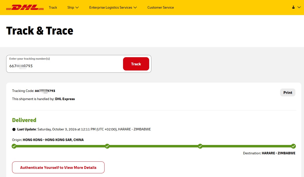
Contact NiuBoL for product selection and a quotation. To select a radar system, share the channel width and geometry, expected water-level range, installation height, power supply and data communication requirements.
Prev:NiuBoL Online Potassium Ion Sensor Shipped to the United States
Next:no more
Related recommendations
Sensors & Weather Stations Catalog
 Agriculture Sensors and Weather Stations Catalog-NiuBoL.pdf
Weather Stations Catalog-NiuBoL.pdf
Agriculture Sensors Catalog-NiuBoL.pdf
Water Quality Sensor Catalog-NiuBoL.pdf
Related products
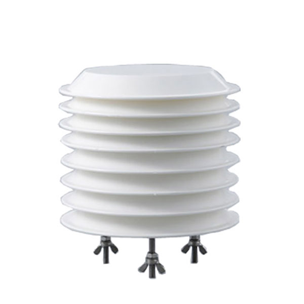 Combined air temperature and relative humidity sensor
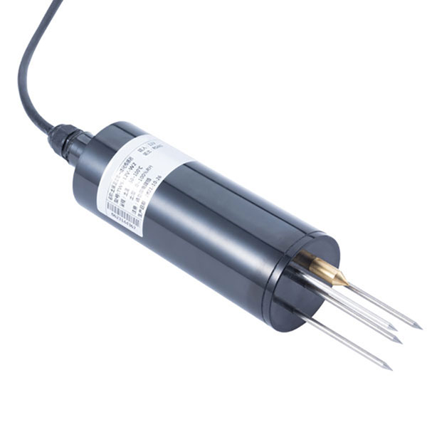 TDR Soil Moisture & Temperature Sensor for irrigation| RS485 |4-20mA| NBL-S-THR
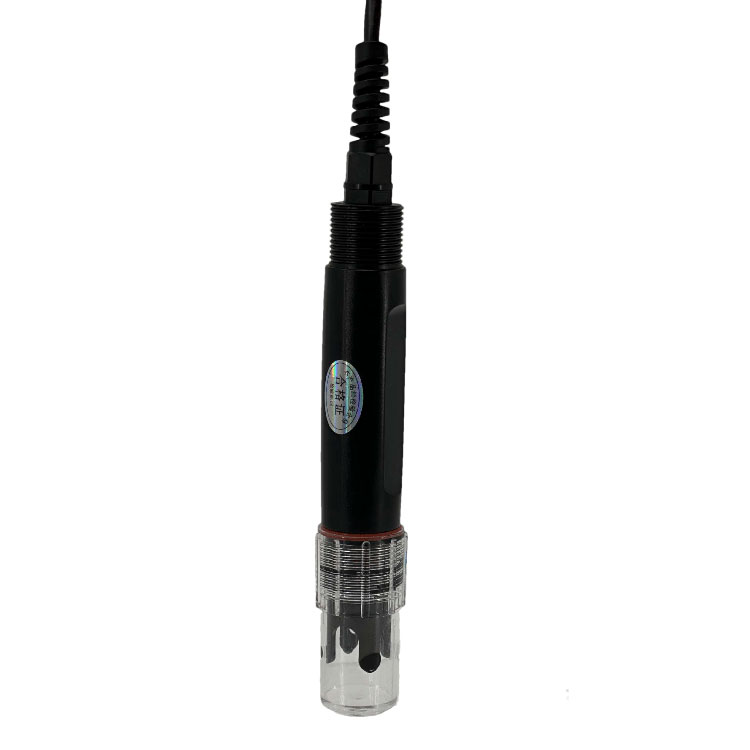 Soil pH sensor RS485 soil Testing instrument soil ph meter for agriculture |NBL-S-PH
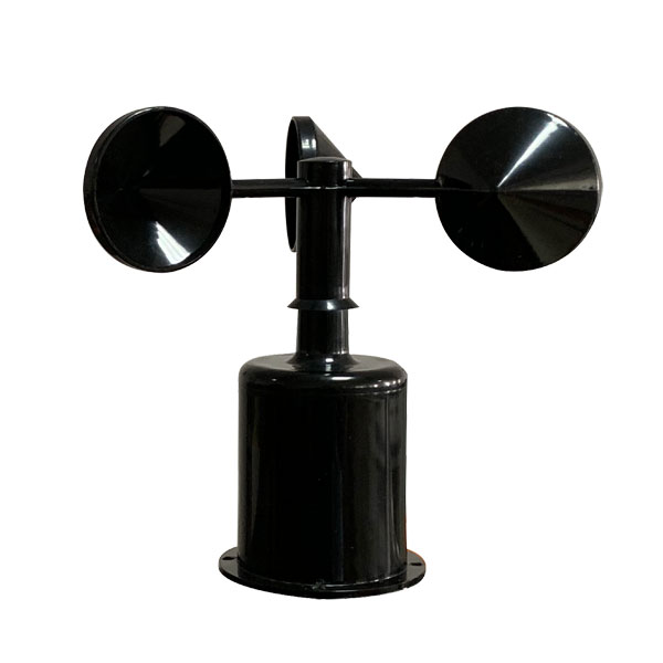 Wind Speed sensor Output Modbus/RS485/Analog/0-5V/4-20mA
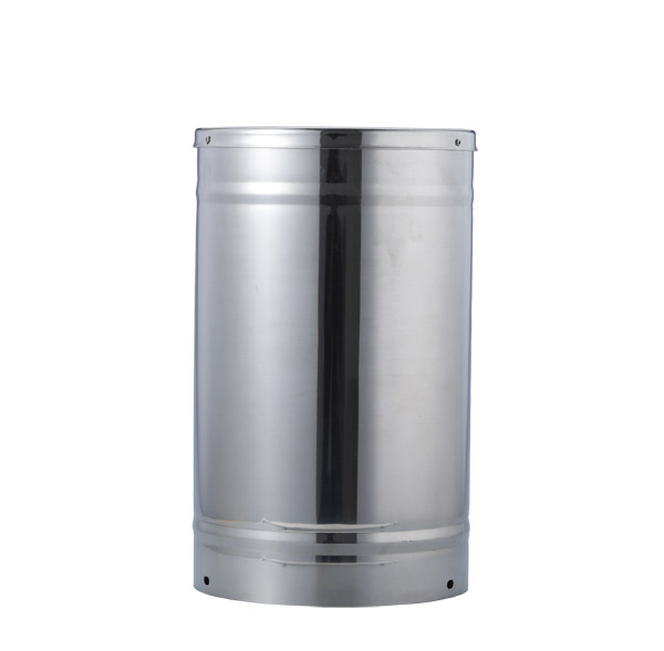 Tipping bucket rain gauge for weather monitoring auto rainfall sensor RS485/Outdoor/stainless steel
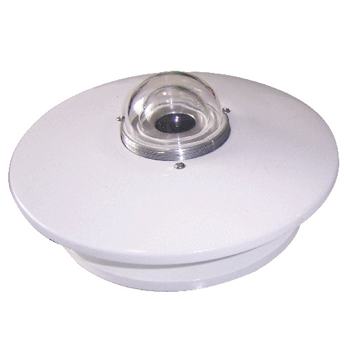 Pyranometer Solar Radiation Sensor 4-20mA/RS485

Screenshot, WhatsApp to identify the QR code
WhatsApp number:+8615367865107
(Click on WhatsApp to copy and add friends)