

— Blogs —
—Products—
 Consumer hotline +8618073152920
 WhatsApp:+8615367865107
Address:Room 102, District D, Houhu Industrial Park, Yuelu District, Changsha City, Hunan Province, China
Product knowledge
Time:2023-07-23 11:17:26 Popularity:1667
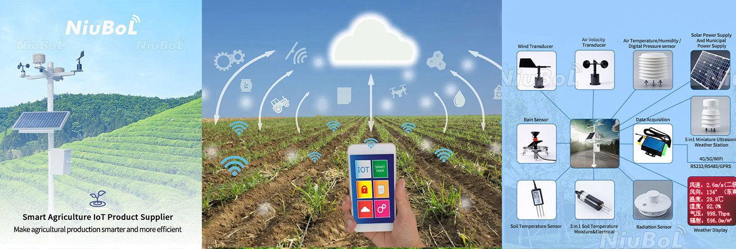
Some of the common sensors used in geoparks include:
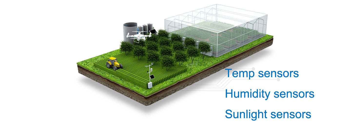
Temperature sensors: used to measure air temperature and provide temperature parameters in meteorological data.
Humidity Sensor: Used to measure the humidity of the air, providing the humidity parameter in the meteorological data.
Wind Speed Sensor: Used to measure the speed of the wind and provide the wind speed parameter in the meteorological data.
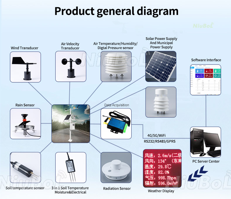
Wind Direction Sensor: Used to measure the direction of the wind and provide the wind direction parameter in the meteorological data.
Precipitation Sensor: Used to measure the amount of precipitation, including rain, snow, etc., to provide the precipitation parameters in the meteorological data.
Atmospheric Pressure Sensor: Used to measure atmospheric pressure and provide air pressure parameters in meteorological data.
Light Sensor: Used to measure light intensity and provide data on sunlight exposure.
CO2 Sensor: Used to measure carbon dioxide concentration, providing data on air quality and the carbon cycle.
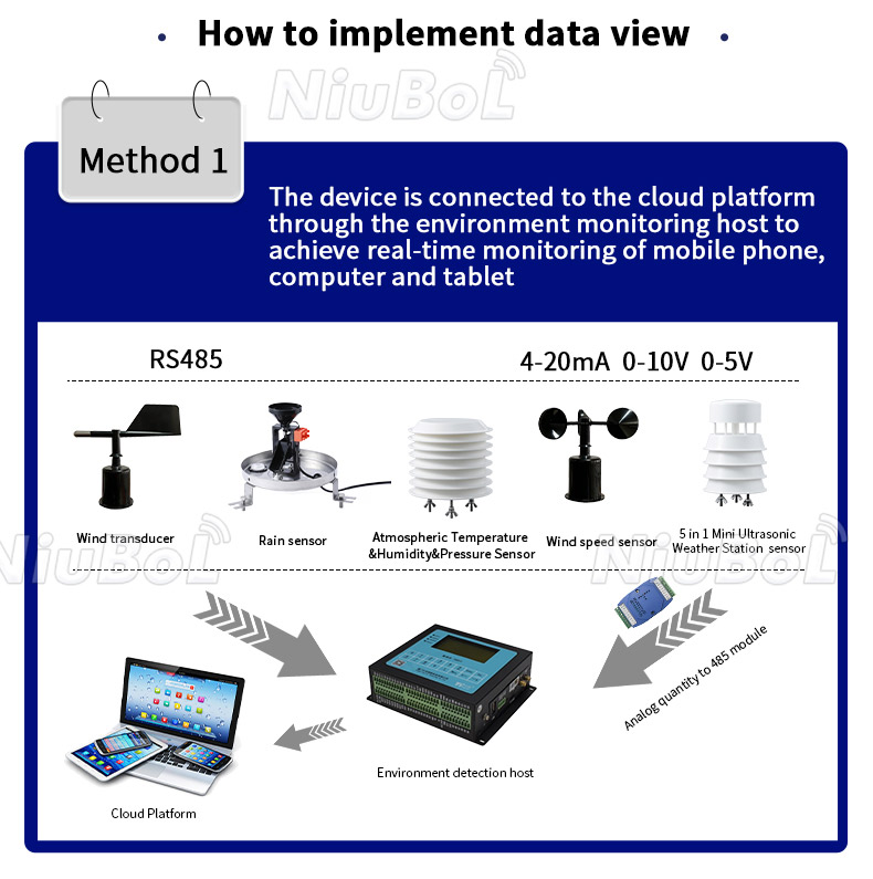
Soil Moisture Sensor: Measures moisture in the soil and provides data on soil moisture.
Soil Temperature Sensor: Used to measure soil temperature and provide data on the soil environment.
These sensors provide key meteorological and environmental data to help Geopark managers and researchers better understand and monitor changes in the natural environment, providing vital support for conservation and management.
Prev:Highway automatic weather station and Their Role
Next:Grassland Meteorological and Environmental Monitoring Station
Related recommendations
Sensors & Weather Stations Catalog
 Agriculture Sensors and Weather Stations Catalog-NiuBoL.pdf
Weather Stations Catalog-NiuBoL.pdf
Agriculture Sensors Catalog-NiuBoL.pdf
Water Quality Sensor Catalog-NiuBoL.pdf
Related products
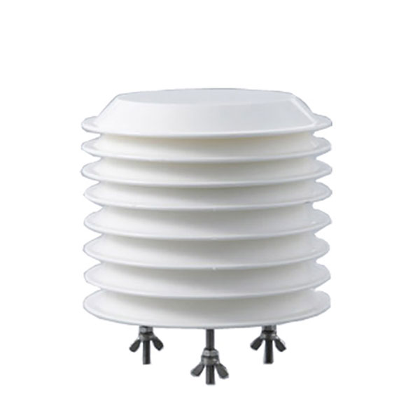 Combined air temperature and relative humidity sensor
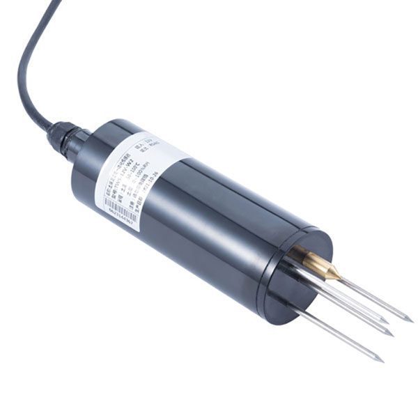 TDR Soil Moisture & Temperature Sensor for irrigation| RS485 |4-20mA| NBL-S-THR
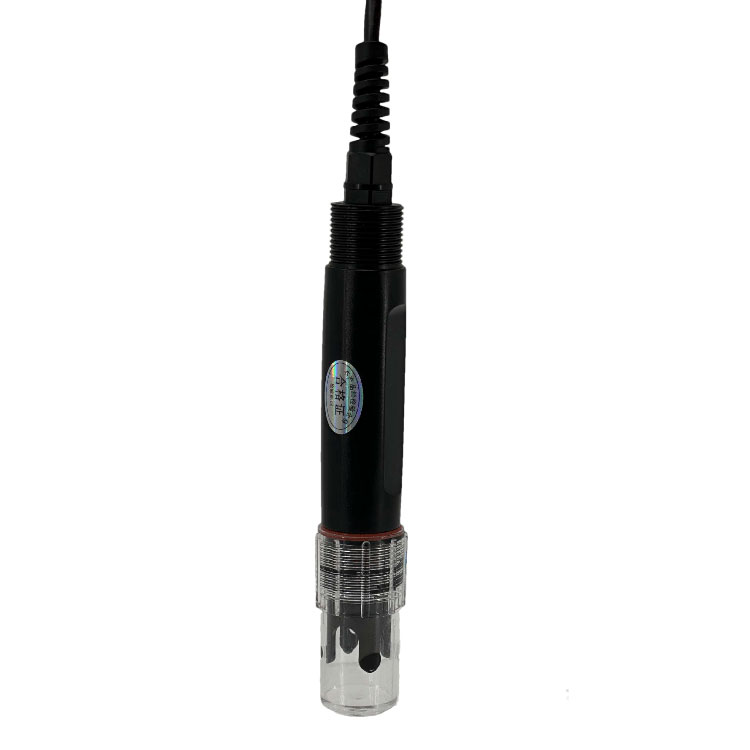 Soil pH sensor RS485 soil Testing instrument soil ph meter for agriculture |NBL-S-PH
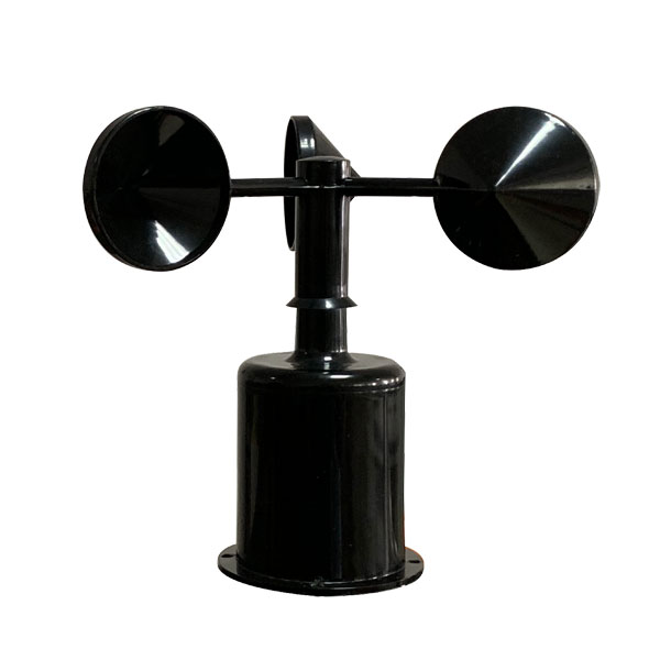 Wind Speed sensor Output Modbus/RS485/Analog/0-5V/4-20mA
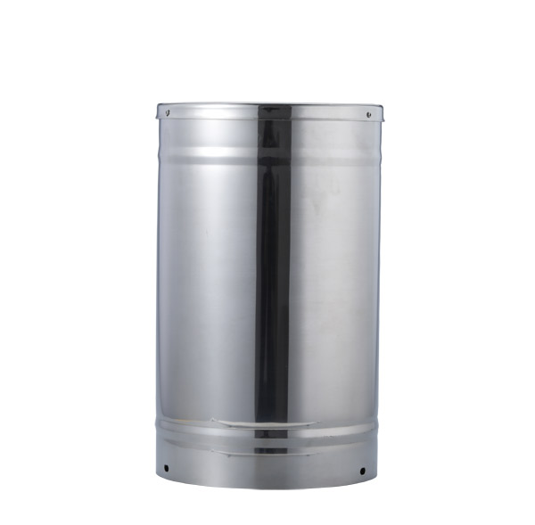 Tipping bucket rain gauge for weather monitoring auto rainfall sensor RS485/Outdoor/stainless steel
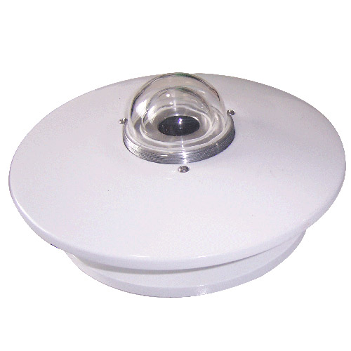 Pyranometer Solar Radiation Sensor 4-20mA/RS485

Screenshot, WhatsApp to identify the QR code
WhatsApp number:+8615367865107
(Click on WhatsApp to copy and add friends)