





— Blogs —
—Products—
 Consumer hotline +8618073152920
WhatsApp:+8615367865107
Address:Room 102, District D, Houhu Industrial Park, Yuelu District, Changsha City, Hunan Province, China
Product knowledge
Time:2025-10-25 10:26:54 Popularity:1002
IoT agriculture sensors can support food security monitoring by recording local weather and root-zone conditions. They cannot, on their own, measure household food access, establish regional crop losses or determine subsidy eligibility. A public or regional monitoring project needs representative sites, traceable observations and a clear decision process alongside crop, production and socioeconomic information.
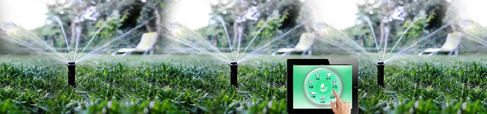
FAO's food security framework distinguishes availability, access, utilization and stability. Environmental measurements contribute to understanding production conditions and their changes; they do not cover all four dimensions. More soil probes do not directly reveal whether households can afford food or use it safely.
For a project agency, that distinction prevents an equipment schedule from becoming an unsupported policy claim. Define the intended service, such as identifying sites that need drought investigation, and identify the additional evidence required for action. Keep the measured condition separate from the decision made using it.
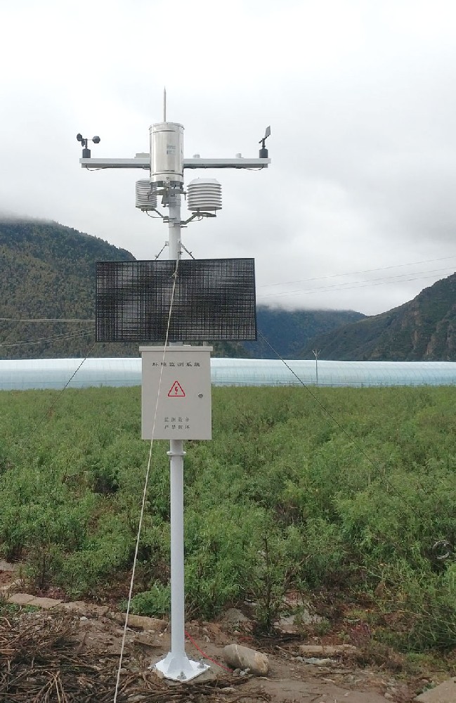
A district irrigation assessment may need rainfall timing and root-zone moisture trends. A heat-exposure study needs a defined temperature observation and crop stage. A soil salt investigation needs a suitable conductivity record and information about water, drainage and soil conditions. These are different projects, even when they share a communications network.
| Monitoring question | Relevant observation | Additional evidence needed |
|---|---|---|
| Where should drying conditions be investigated? | Local rainfall and soil-moisture trends | Soil type, crop stage, irrigation and site coverage |
| Did crops experience unusual heat? | Air-temperature record with defined exposure | Crop sensitivity, growth stage and duration |
| Are root-zone salt conditions changing? | Conductivity observations under known conditions | Water quality, moisture, drainage and suitable testing |
| Was a support program effective? | Before-and-after field observations | Comparable sites, management records and outcome data |
The last row is particularly important: a changed moisture value after an intervention does not establish causality. Rainfall, crop development and management may also have changed. Program evaluation needs a suitable study design rather than a dashboard showing only a favorable period.

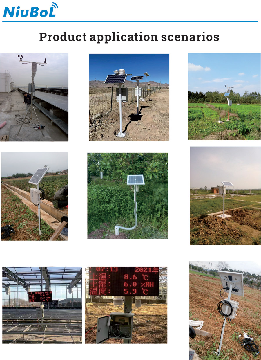
Easy-to-access farms are convenient for equipment service but may not represent the wider production area. Select locations with the intended crop, soil, irrigation and terrain differences in mind. Retain those classifications so users can see which settings the network observes and which remain unrepresented.
Several readings from one site do not become several independent farms. Likewise, repeated values from one buried probe describe its local sensing zone rather than every hectare nearby. Expansion should address missing conditions, not simply increase the point count on a map.
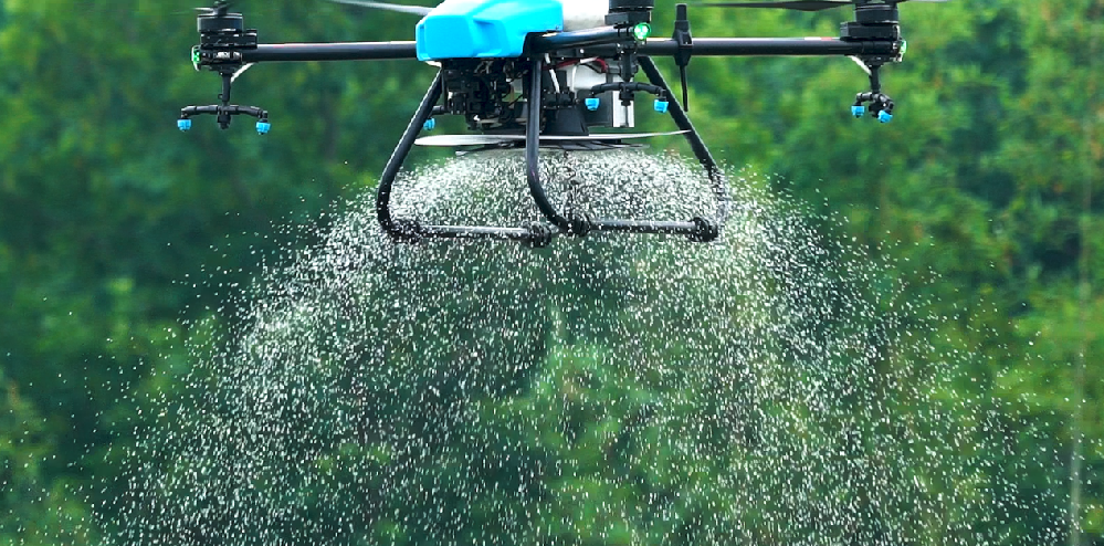
Aerial or satellite observations can help locate crop patterns across larger areas. Ground observations can then test explanations at selected locations. A spraying aircraft, an imaging service and a weather station have different functions; specifying one does not include the other services.
For regional reports, preserve the distinction between observed, estimated and forecast values. A map interpolated between stations is an estimate in the spaces between them. Display the observation period and coverage alongside the map so a sparse network is not presented as a direct measurement at every location.
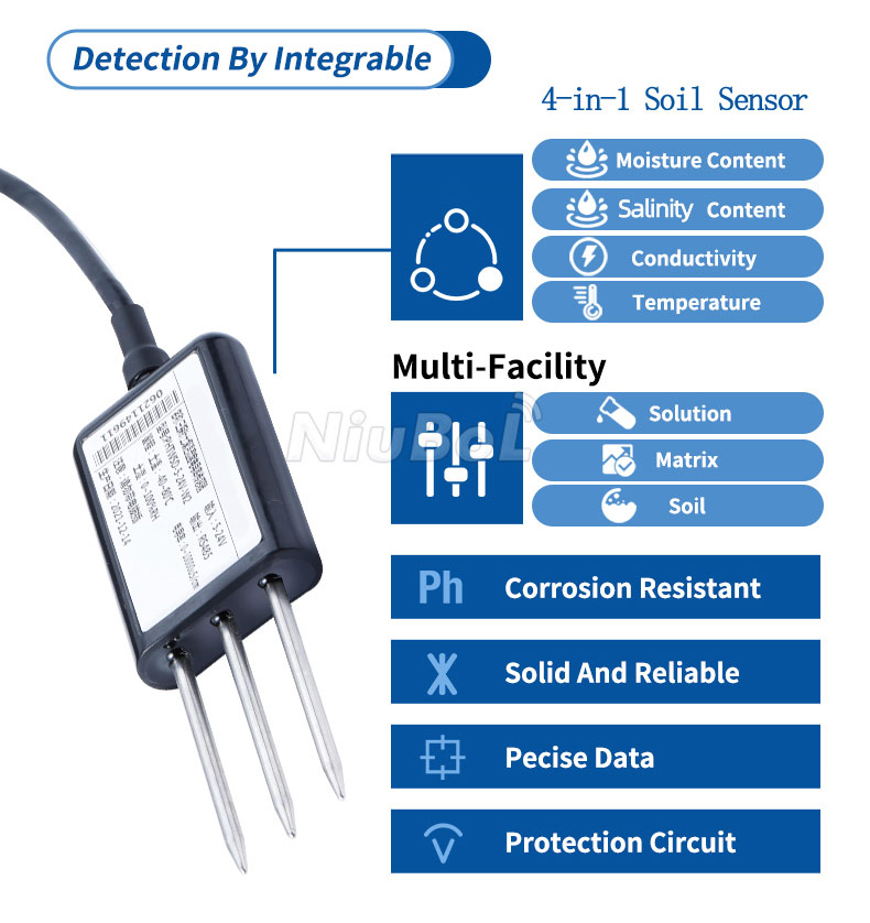
The NBL-S-TMCS provides soil temperature, moisture, EC and a salinity channel through RS485 Modbus RTU. Its measurements can support water-salt trend investigations, but they do not identify individual fertilizer nutrients or replace a defined laboratory test method.
The NBL-S-THR is a different, two-parameter moisture and temperature model. The NBL-S-TMC adds EC to those observations. Specify the model and required channels on each order; the number of outputs is not interchangeable between these probes.
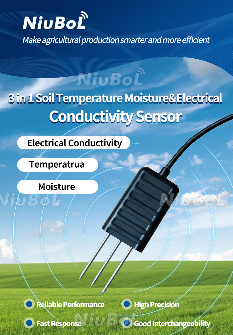
IoT agriculture sensors need an acquisition arrangement before their readings become a regional dataset. Confirm the electrical output and Modbus register mapping for each selected version. A fieldbus address identifies a device on a bus; the service also needs site, plot, depth and channel identities that remain understandable after maintenance.
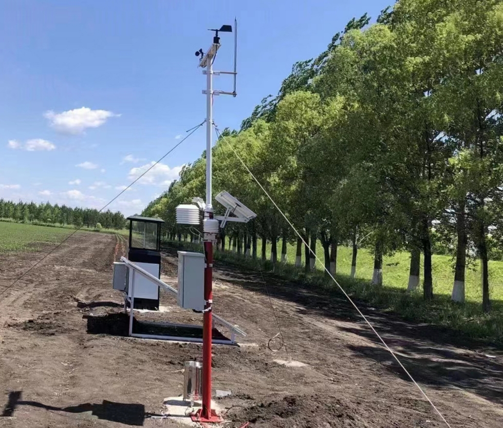
A compatible NBL-PH-1 data logger can provide local recording and configured 4G transfer. The receiving service must handle observation times, units and missing data. A connection outage must not appear as zero rainfall or zero soil moisture, and network access does not itself establish data validation.
Assign responsibility for installation, field checks and investigation of suspect values. Also define which observations can be shared, at what level of aggregation and who can correct a record. Keep the original observation and the reason for a correction identifiable rather than silently replacing inconvenient readings.
For procurement, separate instruments, installation, communications and ongoing service. Include the actual site classifications and required data outputs in the request to NiuBoL. No universal station count, online package price or automatic policy integration can be inferred from the label food security monitoring.
No. It can describe selected environmental conditions. Food-shortage assessment also needs production, markets, household access and other relevant information, with a validated interpretation method.
Identify the crop and environmental conditions the service must represent, then select and document sites accordingly. Convenient demonstration farms alone may leave important production settings unobserved.
No. EC reflects conductive conditions affected by dissolved ions and other factors. It does not separately quantify nitrogen, phosphorus or potassium and cannot establish a fertilizer recommendation on its own.
No. Eligibility belongs to the applicable program and its assessment process. Sensor records may be one input where accepted, but equipment ownership or a threshold crossing is not a universal entitlement.
Test representative sites, channel interpretation, clock consistency, interrupted communication and field maintenance. Confirm that the resulting report supports the intended decision before reproducing the configuration across the network.
IoT agriculture sensors contribute useful environmental observations to food security monitoring when the sampling and service design are explicit. Keep regional claims proportional to coverage, distinguish measurements from estimates and combine field records with the other information the decision requires. That creates a more defensible project than a large network with an undefined policy purpose.
Prev:Digital Farming Sensors: Define the First Monitoring Task Before Expansion
Next:The Future of Anemometers: Sensing, Digital Output and Wind Records
Related recommendations
Sensors & Weather Stations Catalog
 Agriculture Sensors and Weather Stations Catalog-NiuBoL.pdf
Weather Stations Catalog-NiuBoL.pdf
Agriculture Sensors Catalog-NiuBoL.pdf
Water Quality Sensor Catalog-NiuBoL.pdf
Related products
 Combined air temperature and relative humidity sensor
 TDR Soil Moisture & Temperature Sensor for irrigation| RS485 |4-20mA| NBL-S-THR
 Soil pH sensor RS485 soil Testing instrument soil ph meter for agriculture |NBL-S-PH
 Wind Speed sensor Output Modbus/RS485/Analog/0-5V/4-20mA
 Tipping bucket rain gauge for weather monitoring auto rainfall sensor RS485/Outdoor/stainless steel
 Pyranometer Solar Radiation Sensor 4-20mA/RS485


Screenshot, WhatsApp to identify the QR code
WhatsApp number:+8615367865107
(Click on WhatsApp to copy and add friends)

