





— Blogs —
—Products—
 Consumer hotline +8618073152920
WhatsApp:+8615367865107
Address:Room 102, District D, Houhu Industrial Park, Yuelu District, Changsha City, Hunan Province, China
Product knowledge
Time:2025-10-14 16:01:59 Popularity:1263
Agricultural sensor density should follow differences that can change a farm decision, not a fixed number of probes per acre. Add measurement points when soil, irrigation, terrain or crop conditions produce repeatable differences that the operator can act on. More sensors in the same unrepresentative location will not improve coverage.
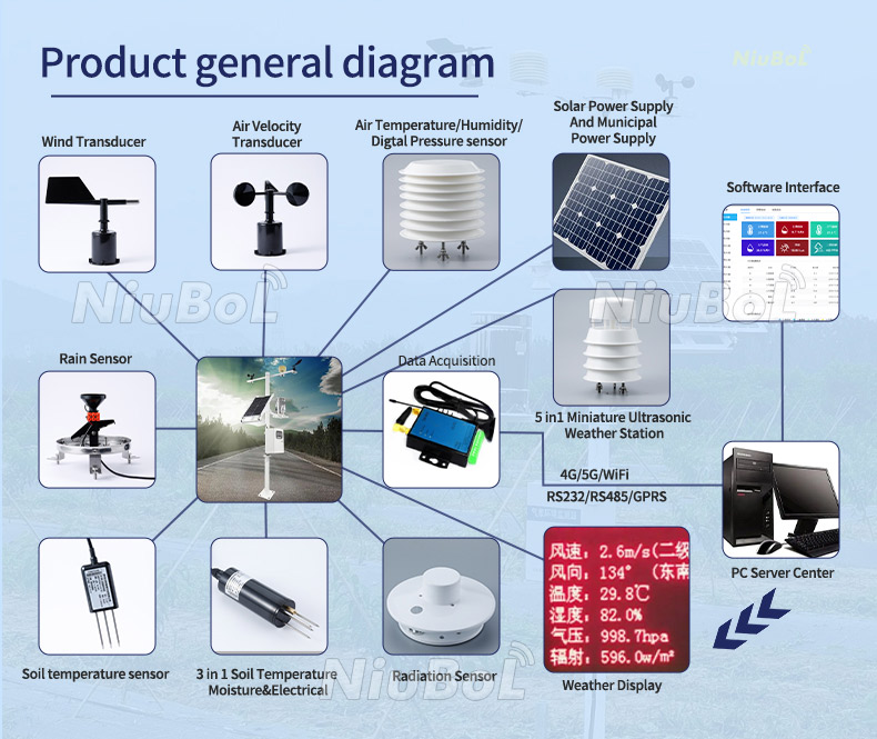
A soil probe measures a local volume around its electrodes. One probe in a large field is not an average of that field, and ten probes do not automatically produce a reliable map. The sampling layout and the interpretation of each location determine what the measurements can support.
Start with the irrigation layout, soil information, terrain and crop blocks. Identify areas that receive different watering schedules or have known differences in infiltration and drainage. A sandy rise and a heavier low area may need separate observation even within one irrigation block. Conversely, adjacent areas managed identically may not justify separate permanent stations if their measured behavior remains similar.
Distinguish measurement zones from controllable zones. If a farm cannot change application separately, additional sensors may still reveal a hydraulic or agronomic problem, but they cannot deliver independent irrigation by themselves. Resolve whether the next investment should be another probe, a distribution-system repair or a change in control zones.
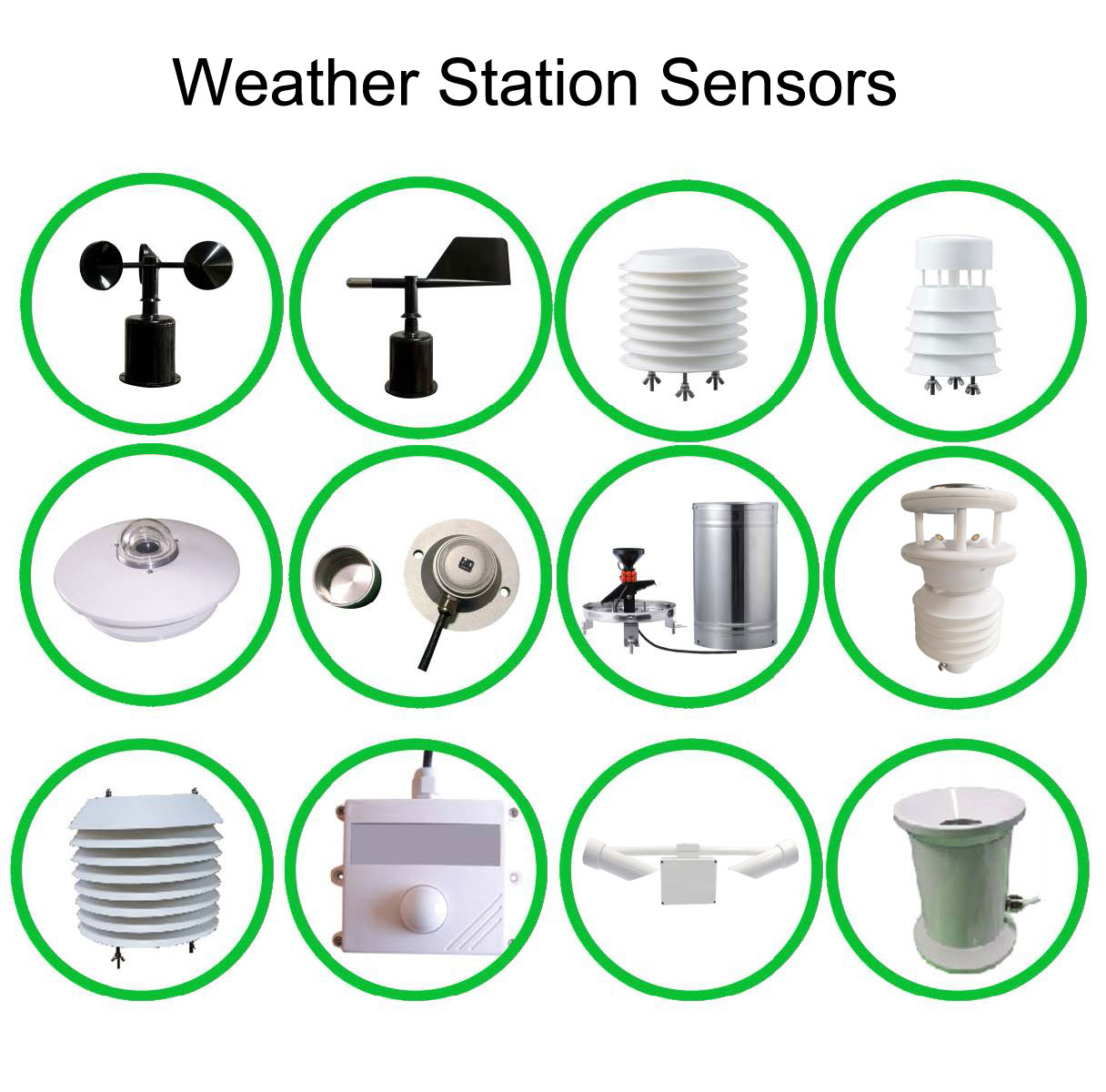
Several probes at one shallow depth do not describe the whole root zone. Choose depths to answer a defined question: whether an irrigation event reaches active roots, how quickly the upper layer dries, or whether water moves below the intended zone. The useful depths depend on crop development, soil profile and irrigation method.
Keep the lateral position relative to a dripper, furrow or row consistent when comparing locations. A probe in a wetting bulb and one outside it may disagree for a valid reason. Record depth and position, and avoid air gaps around the sensing elements. Otherwise installation differences can be mistaken for field variability.
| Observation | Next measurement | Expansion decision |
|---|---|---|
| Two areas dry at different rates | Compare equivalent depths and irrigation events; check soil contact and emitter delivery | Add a separate observation point if the difference persists and affects scheduling. |
| One reading disagrees with nearby plants | Inspect installation and compare with an independent soil assessment | Correct placement or calibration before duplicating a misleading location. |
| Water reaches the upper layer but deeper behavior is unknown | Observe another relevant depth through an irrigation cycle | Add vertical coverage if it answers a root-zone or drainage question. |
| A cold pocket differs from the main weather station | Compare local temperature exposure and timing | Add microclimate sensing if the location needs a separate operational response. |
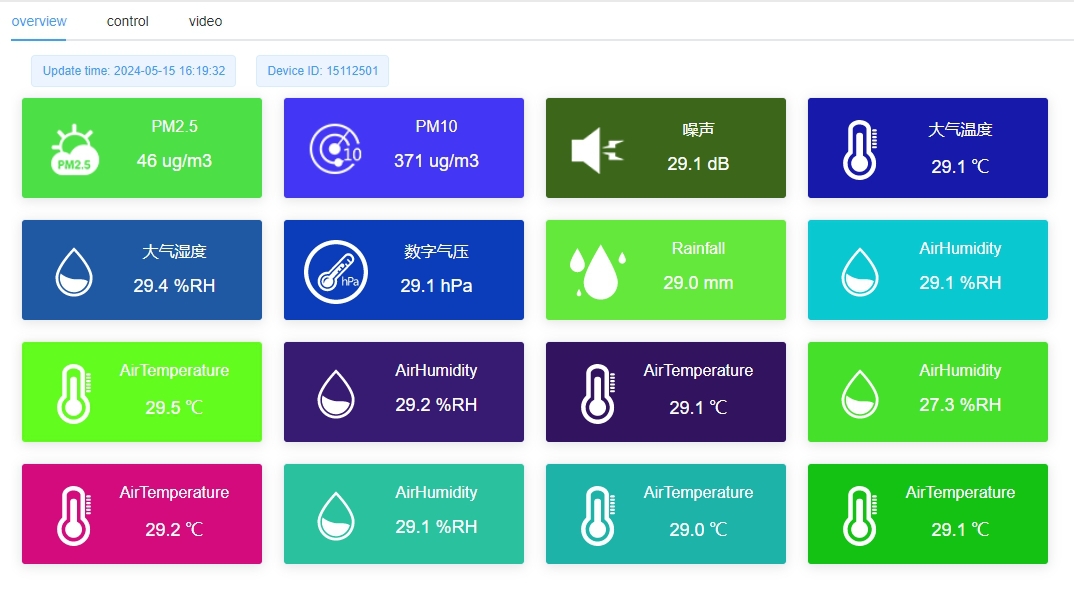
A dashboard can display many channels without establishing that their locations are representative. Retain site identifiers, depth, units and timestamps in the receiving system. A missing record must not be silently treated as a dry-soil measurement, and a field map should not imply measured detail between points without an appropriate interpolation method.
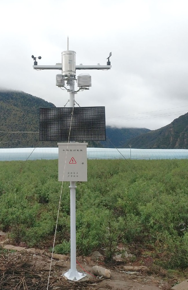
Wind, rainfall and radiation provide environmental context. Soil moisture describes a different part of the water balance. A central weather station and distributed soil probes can therefore have different coverage requirements; duplicating the entire station at every soil node is not the default solution.
Where shelter, elevation or greenhouse compartments create materially different conditions, an additional atmospheric point may be justified. Select its exposure for the decision being made. Do not combine a shaded canopy temperature and an exposed reference-air temperature as though they were interchangeable observations.
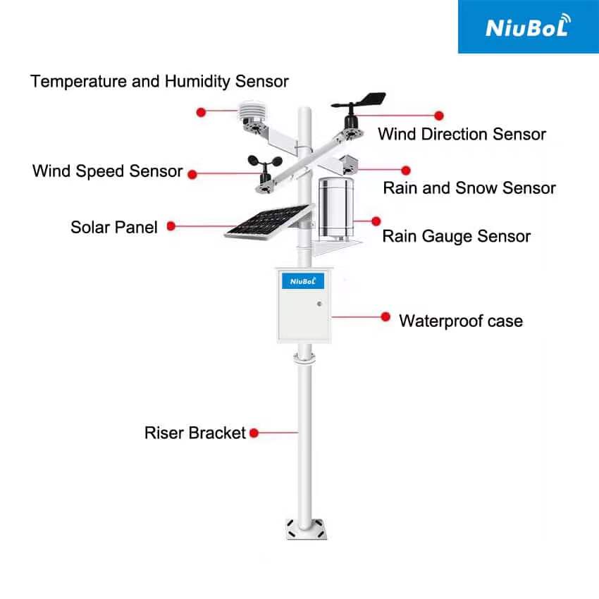
The NiuBoL NBL-S-TMC combines soil temperature, volumetric moisture and EC through RS485 Modbus RTU. It adds several measurements at one location, not coverage of several locations.
| Channel or feature | NBL-S-TMC specification |
|---|---|
| Soil moisture | 0-100%; stated accuracy +/-5%; resolution 0.1% |
| Soil temperature | -40 to 80 degrees C; accuracy +/-0.5 degrees C |
| Soil EC | 0-10000 microS/cm; accuracy +/-5% in that range |
| Integration | RS485 Modbus RTU; IP68; supply DC 5-24 V or DC 12-24 V according to configuration |
Moisture resolution is not measurement accuracy. Confirm the supply version and assess readings in the intended soil before adopting a narrow irrigation trigger.
EC adds information about conductivity, not an independent nitrogen, phosphorus or potassium analysis. Compare EC under comparable moisture conditions and investigate the source of a change before adjusting fertilizer. Ordering more EC channels cannot resolve an incorrect nutrient interpretation.
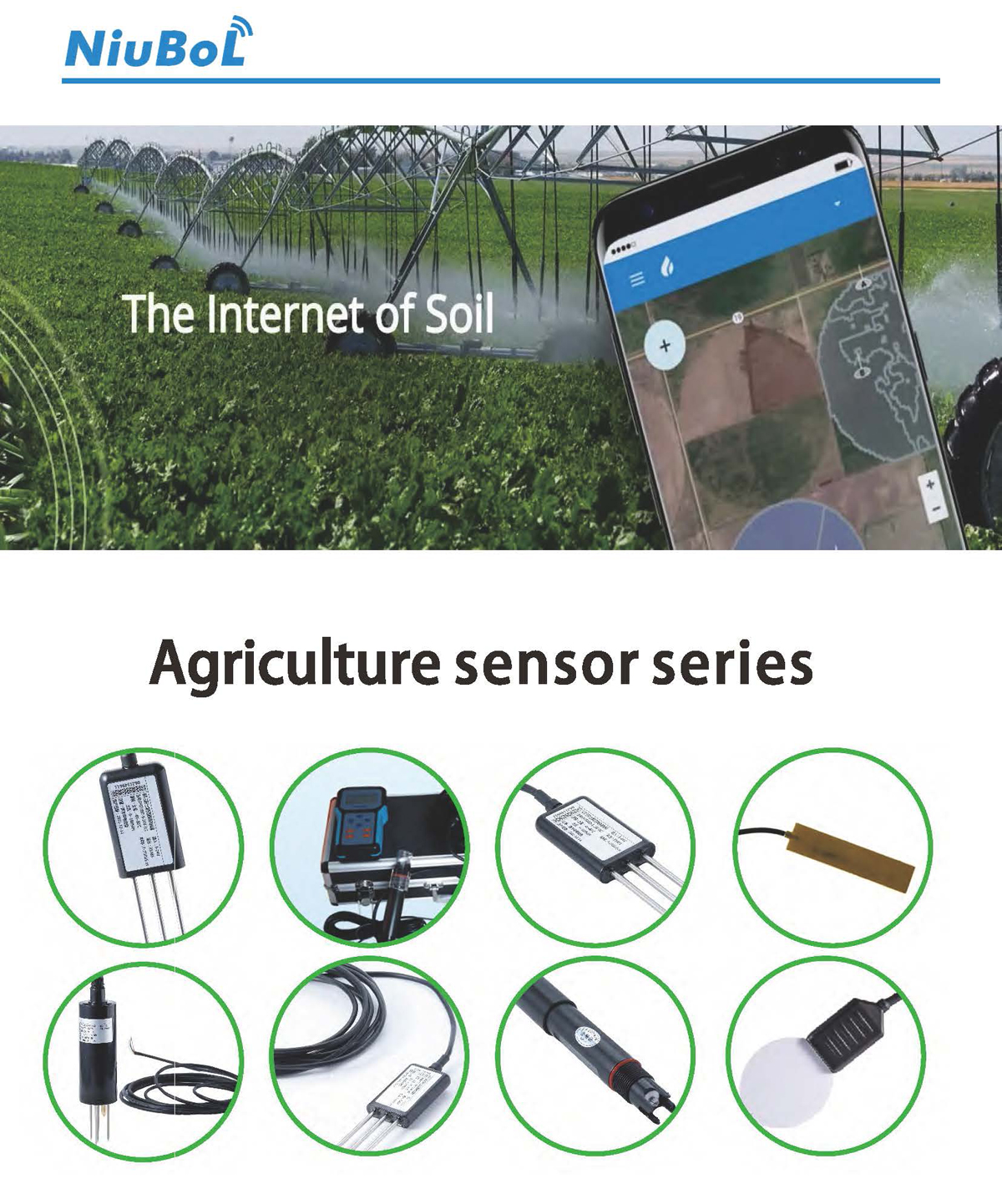
The agricultural sensor range includes instruments for different tasks. Add leaf-surface wetness where a crop-specific risk assessment uses wetness duration, or additional temperature points where local cold exposure matters. Neither channel provides an automatic disease diagnosis or a guaranteed frost-protection instruction.
Count the actual serial devices, cable runs and power loads. RS485 Modbus RTU uses configured addresses and register maps; it is not a wireless coverage specification. A 4G logger provides an uplink only where the configuration, operator and network are suitable. Do not assume a universal node capacity from a radio technology name.
The NBL-PH-1 data logger provides local acquisition, records and configured cellular transmission. Its documented 16 analog/counter channels are not a promise of 16 or hundreds of Modbus devices. Confirm the device list, polling schedule and receiving format for the proposed network.
Expand after reviewing whether the extra point changes a decision. Keep irrigation and rainfall records alongside the measurements, and inspect persistent disagreements. A savings claim requires an appropriate comparison of water use, crop condition and operating practice; sensor count alone cannot establish financial return.
No. Acreage alone does not describe soil variability, irrigation zones or root depth. Use it for budgeting only after a representative monitoring layout has been developed and tested.
Add horizontal coverage for differences between management areas; add depth coverage for root-zone response and drainage questions. Some sites need both, but the purpose of each point should be explicit.
It may provide a useful control reference if its location has been checked against the zone. It does not become a spatial average. Reassess representation when crop, irrigation hardware or soil conditions change.
Provide a zone map, proposed depths, channel list, cable distances, power arrangements and reporting needs. Ask for the sensor, logger, communications, installation and service scope separately.
When the existing result is distorted by poor contact, incorrect units, a failed emitter or a location outside the intended wetting zone. Correct that issue before treating it as evidence that the whole farm needs denser sensing.
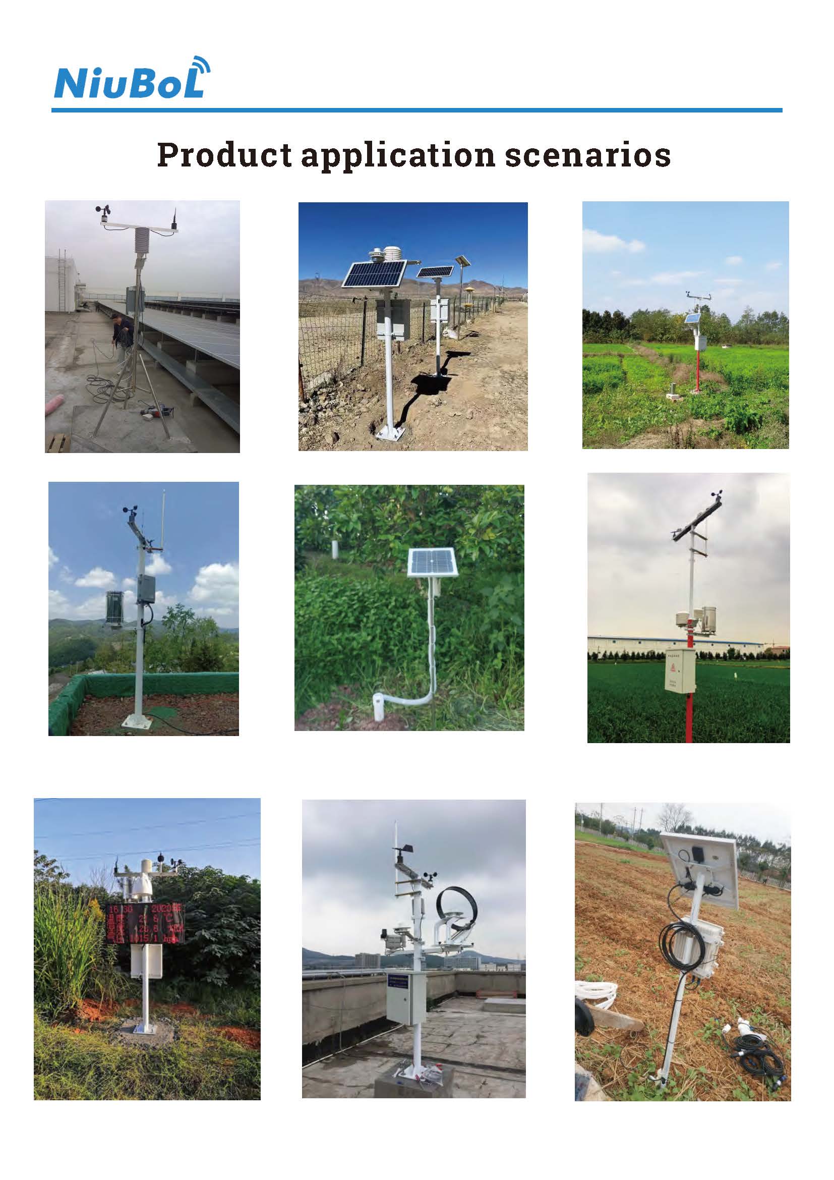
Useful agricultural sensor density comes from representative coverage and an actionable question at each point. NiuBoL soil, weather and logging equipment can support that layout, but the value lies in what the additional measurement changes, not in maximizing the number of installed devices.
Prev:Weather Monitoring Technology: Which Upgrades Improve Field Data?
Next:Water Level Sensor Specification: Prepare an Application Data Sheet
Related recommendations
Sensors & Weather Stations Catalog
 Agriculture Sensors and Weather Stations Catalog-NiuBoL.pdf
Weather Stations Catalog-NiuBoL.pdf
Agriculture Sensors Catalog-NiuBoL.pdf
Water Quality Sensor Catalog-NiuBoL.pdf
Related products
 Combined air temperature and relative humidity sensor
 TDR Soil Moisture & Temperature Sensor for irrigation| RS485 |4-20mA| NBL-S-THR
 Soil pH sensor RS485 soil Testing instrument soil ph meter for agriculture |NBL-S-PH
 Wind Speed sensor Output Modbus/RS485/Analog/0-5V/4-20mA
 Tipping bucket rain gauge for weather monitoring auto rainfall sensor RS485/Outdoor/stainless steel
 Pyranometer Solar Radiation Sensor 4-20mA/RS485


Screenshot, WhatsApp to identify the QR code
WhatsApp number:+8615367865107
(Click on WhatsApp to copy and add friends)

