





— Blogs —
—Products—
 Consumer hotline +8618073152920
WhatsApp:+8615367865107
Address:Room 102, District D, Houhu Industrial Park, Yuelu District, Changsha City, Hunan Province, China
Product knowledge
Time:2025-11-24 17:20:50 Popularity:714
Quick Answer: Automatic weather stations in forestry are useful when each observation point has a defined role. An open-area station describes the surrounding weather; a shaded forest-floor station describes local microclimate. They are not interchangeable. Pairing these observations with rainfall and soil measurements can support regeneration, drought investigation and ecological research, provided the study separates canopy effects from sensor exposure and maintenance changes.
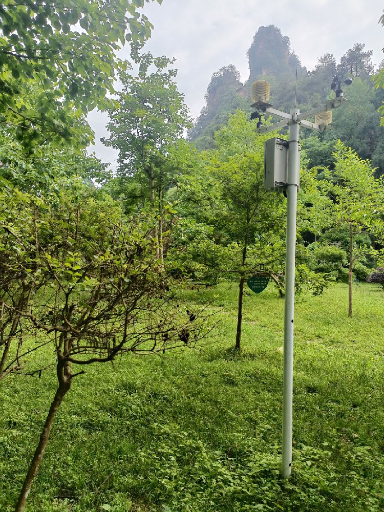
A forestry department investigating poor seedling establishment needs a different observation plan from a research team comparing thinned and unthinned stands. Both may request temperature, humidity, wind and rainfall, yet identical equipment does not make their datasets comparable. Height, canopy cover, slope position and the timing of management operations determine what each record represents.
For restoration and nursery projects, useful questions include whether a planting area is drying between rainfall events, whether a sheltered hollow experiences colder nights, and whether irrigation reaches the occupied root zone. For ecological monitoring, the question may concern how canopy development changes local conditions across seasons. These tasks require persistent observation locations and clear comparison rules.
An automatic weather station acquires environmental channels, timestamps and stores observations, and may transfer them to a remote platform. Alarms and derived indices depend on the installed logger and software configuration. Adding a communications module does not automatically add a drought model, a fire-danger method or a calibrated ecological indicator.
An open reference station helps explain regional weather forcing: rainfall events, temperature changes and prevailing winds. A forest microclimate station observes conditions affected by shade, foliage, ventilation and local terrain. A lower wind speed beneath the canopy may be the phenomenon of interest, rather than an instrument failure.
| Observation point | Useful forestry question | Important limitation |
|---|---|---|
| Open reference area | What weather reached the wider study site? | Does not reproduce seedling-level conditions beneath foliage |
| Forest interior | How does the stand modify temperature and humidity? | Not directly comparable with unobstructed reference wind |
| Clearing or stand edge | How do exposed establishment areas differ? | Edge effects change with wind direction and canopy growth |
| Root-zone sampling locations | Does water reach and remain in the target soil layer? | One soil probe does not describe the whole stand |
Do not automatically place every instrument at 10 m. That height can be relevant to a reference wind measurement, but 10 m above ground may still be inside a tall canopy. A study of seedling exposure needs measurements near its defined biological zone. An above-canopy installation requires its own structural, access and exposure assessment; an ordinary pole is not a substitute for a suitable tower.
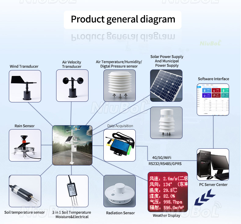
Keep station roles explicit in the database. Labels such as “open reference,” “north-facing stand interior” and “regeneration clearing” are more useful than station numbers alone. Record instrument height, stand condition and major nearby obstructions. If an observation point is relocated after harvesting, preserve the old location's record rather than treating the new exposure as an uninterrupted climate series.
Forestry water investigations should distinguish gross rainfall, throughfall and stemflow. Gross rainfall is measured in an appropriate open exposure; throughfall reaches the ground through or from the canopy; stemflow travels down trunks. Interception and subsequent evaporation mean that an open rain gauge cannot directly report water arriving at every forest-floor location. FAO's forest and water resources explain the role of canopy interception and water retention.
A single gauge beneath a branch can receive concentrated drips or be sheltered from part of an event. Do not call that measurement total site rainfall. Throughfall research needs a sampling layout that represents canopy variability, with collection methods suited to the study. Soil observations then show local responses, but do not independently measure stemflow or drainage.
As an illustrative event, an open gauge might record 12 mm while different soil locations respond at different times. That does not prove a faulty rain gauge or a uniform 12 mm recharge. Check canopy position, soil texture, antecedent water content, infiltration and the measured depth before interpreting the difference. A fixed conversion from rainfall to root-zone water is not defensible across forest stands.
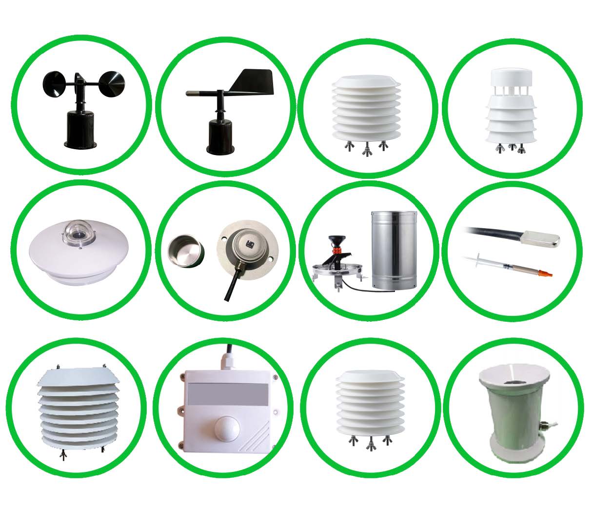
A combined air sensor simplifies the cable route, but its channels still have separate units and error limits. The NiuBoL NBL-W-LBTH measures air temperature, relative humidity and atmospheric pressure. It can provide reference weather or local microclimate measurements when mounted at the intended exposure with suitable air exchange and radiation protection.
| NBL-W-LBTH item | Technical value | Meaning in a forestry installation |
|---|---|---|
| Air temperature | -40 to 80 degrees C; +/-0.5 degrees C accuracy | Measures air, not leaf or soil temperature |
| Relative humidity | 0-100% RH; +/-5% RH accuracy | Describes air humidity, not vegetation water content |
| Atmospheric pressure | 10-1200 hPa; +/-1.5 hPa accuracy | Station pressure needs labeling distinct from sea-level pressure |
| Resolution | 0.1 degrees C, 0.1% RH and 0.1 hPa | Display increments are not accuracy claims |
| Supply | 12-24 VDC | Check voltage at the instrument during operation |
| Output versions | RS485 or 4-20 mA | Order the interface needed by the acquisition system |
| RS485 communication | Modbus RTU; 9600 baud; eight data bits; no parity | Match stop-bit setting and allow at least 1000 ms between communications |
Do not assign a single accuracy percentage to a complete forestry weather station. Temperature, rainfall and direction have different quantities and uncertainties. Select a rain gauge using its actual collection method, resolution, intensity capability and temperature limits. A non-heated liquid-rain instrument must not be described as a complete snowfall measurement solution.
For NBL-W-SS and NBL-W-DS wind sensors, specify IP65. Ingress protection does not mean that debris cannot obstruct rotating parts or that the installation is immune to lightning. Cable jacket material, protective routing, connectors and the outdoor enclosure should be specified separately for the supplied configuration.
Field challenge: Seedlings can occupy exposed clearings, shaded margins and frost-prone hollows within one project. Monitoring arrangement: Pair a reference weather point with representative establishment locations; add soil measurements at depths selected for the planting method and rooting zone. Management value: The team can compare drying and cold-event exposure before changing irrigation schedules or planting locations.
Field challenge: A management operation changes both the stand and the instrument's surroundings. Monitoring arrangement: Use comparable treated and untreated plots, consistent sensor heights and a pre-treatment observation period where practical. Research value: The study can assess differences associated with treatment while checking whether broader weather changes explain the same pattern.
Field challenge: Rainfall at the station may not match water delivered beneath covers or through irrigation zones. Monitoring arrangement: Combine weather with representative root-zone sensors and irrigation operation records. Management value: Staff can identify locations requiring inspection instead of treating every high-temperature interval as a command to irrigate all zones.
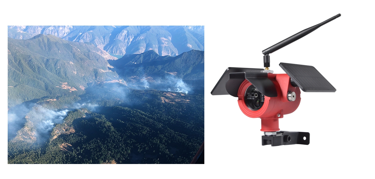
Field challenge: High winds, dry periods and heat can coincide with tree stress or fire-conducive weather. Monitoring arrangement: Maintain the channels and observation schedule required by the adopted assessment method; integrate separate detection equipment if needed. Operational value: Weather observations support preparedness and investigation without claiming to detect ignition, diagnose pests or predict tree failure.
Suppose a thinning study compares daily maximum air temperature between two plots. First confirm that both sensors measured over the same hours and that neither station lost power during the hottest period. Then check shield condition, height and local disturbance. A missing afternoon in one record can create an apparent cooling effect without any real plot difference.
Compare matched time intervals before aggregating to daily statistics. Keep the number of valid observations with each summary and flag days affected by service work. For a treatment study, replication and the choice of control plots are part of the research design; adding more sensors to one treated plot does not automatically provide independent treatment replication.
Preserve tree-management dates, storm damage and canopy changes with the station history. Replacing a sensor can introduce an offset, while growing foliage can progressively alter ventilation. A side-by-side check around replacement is more informative than adjusting historical values merely to make two series agree.

Solar power should be assessed where the panel will actually stand, including seasonal shade and canopy growth. A panel mounted beside the sensor is convenient but may receive little useful sun. If moving the power system to a clearing, calculate the cable drop and protect the route rather than assuming a longer cable has no consequence.
A gateway may upload through cellular service or another selected backhaul. Test the link at the planned antenna location, not only beside an access road. Where transmission outages are expected, specify local storage, clock retention and backfill behavior. A wireless signal returning does not prove that missing observations were recovered.
With RS485 / Modbus RTU instruments, assign unique addresses and check the correct unit and register mapping for every channel. Keep acquisition time separate from upload time. A delayed upload must not appear as a new weather event. Record battery voltage and logger status when supported so data loss can be distinguished from a true zero-rain interval.
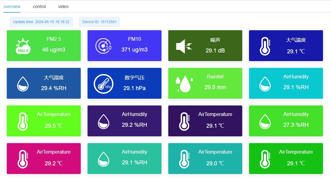
Maintenance is shaped by the site: leaves in the collector, insects in shelters, branch movement, moisture at connectors and vegetation shading the panel deserve separate checks. Start with inspections after significant storms and seasonal changes, then refine the schedule from observed contamination. Do not wait for a calendar interval if the data already show an abrupt unexplained change.
List each observation point's purpose, channels, height and exposure before comparing quotations. Include a site sketch or canopy photograph, climate extremes, access restrictions and existing acquisition equipment. This lets a supplier distinguish a modular reference station from a distributed microclimate network rather than pricing both as the same package.
Ask for a configuration-specific sensor schedule, logger storage behavior, regional communications compatibility, power calculation inputs and installation hardware. Separate optional research functions from the minimum observation plan. A shorter, well-maintained set of relevant channels can be more useful than an extensive configuration whose sampling points cannot be serviced consistently.
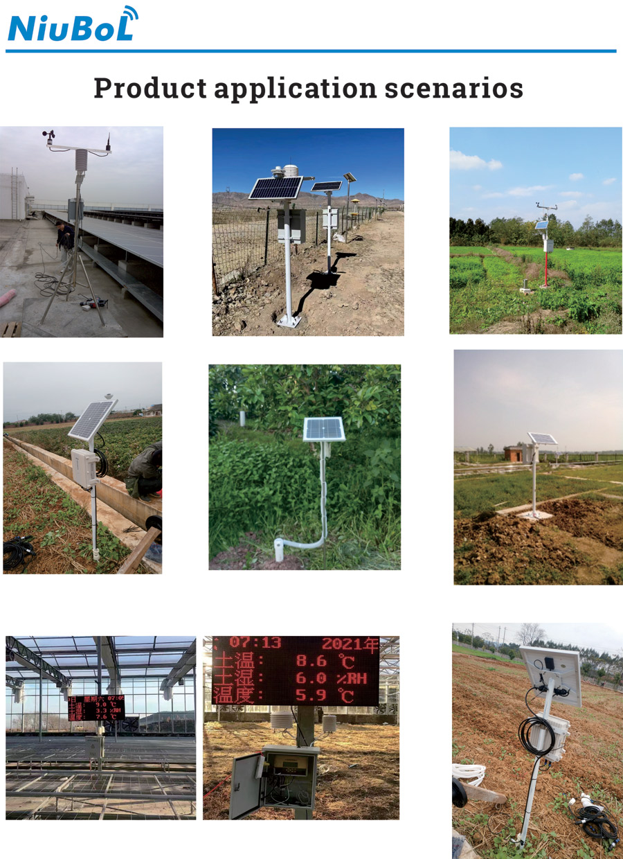
NiuBoL automatic weather stations can be configured with air, wind, rainfall and selected soil measurements. For a forest project, define the measurement locations and comparison method first, then request the instruments and interfaces needed to carry out that plan.
Only if the project specifically requires that local microclimate rather than representative open-area weather. A sheltered observation is useful, but its wind, temperature and rain exposure should not be labeled as though it were an unobstructed reference site.
There is no fixed area-per-station rule. Identify the environmental contrasts and decisions the network must distinguish, then design representative and, where necessary, replicated sampling points. Terrain and stand differences matter more than a simple hectare count.
It measures water collected at that under-canopy position. Branch shelter and concentrated drips can strongly affect it. For gross rainfall, use appropriate open exposure; for throughfall, use a study-specific sampling arrangement rather than relabeling one sheltered gauge.
No. Air RH is an atmospheric measurement. Fuel moisture and tree stress require additional observations or a validated assessment method suited to the material, species and conditions. Do not substitute one percentage for another.
It can be suitable if the installed panel receives enough energy for the specified load and required reserve. Assess seasonal shading, battery conditions and cable routes. Do not assume that a nominal panel rating guarantees continuous operation beneath foliage.
Use consistent exposure, heights, time intervals and quality checks, and preserve changes to instruments and vegetation. Compare matched valid periods. Similar sensor models alone do not compensate for different siting or missing observations.
Provide the forestry objective, point locations, canopy conditions, required channels, climate, power access and receiving system. For research, include sampling intervals and comparison requirements so the proposed equipment supports the intended analysis.
The value of automatic weather stations in forestry lies in explaining conditions at a defined place and time. Separate reference weather from forest microclimate, distinguish rainfall from water reaching the soil, and maintain comparable records through canopy and equipment changes. This produces a more useful basis for establishment, irrigation and ecological decisions than a large sensor list without a clear observation plan.
Prev:Ultrasonic Compact Weather Station Servicing: Replacement and Records
Next:Agricultural Weather Station Applications: Crops, Greenhouses and Livestock
Related recommendations
Sensors & Weather Stations Catalog
 Agriculture Sensors and Weather Stations Catalog-NiuBoL.pdf
Weather Stations Catalog-NiuBoL.pdf
Agriculture Sensors Catalog-NiuBoL.pdf
Water Quality Sensor Catalog-NiuBoL.pdf
Related products
 Combined air temperature and relative humidity sensor
 TDR Soil Moisture & Temperature Sensor for irrigation| RS485 |4-20mA| NBL-S-THR
 Soil pH sensor RS485 soil Testing instrument soil ph meter for agriculture |NBL-S-PH
 Wind Speed sensor Output Modbus/RS485/Analog/0-5V/4-20mA
 Tipping bucket rain gauge for weather monitoring auto rainfall sensor RS485/Outdoor/stainless steel
 Pyranometer Solar Radiation Sensor 4-20mA/RS485


Screenshot, WhatsApp to identify the QR code
WhatsApp number:+8615367865107
(Click on WhatsApp to copy and add friends)

