





— Blogs —
—Products—
 Consumer hotline +8618073152920
WhatsApp:+8615367865107
Address:Room 102, District D, Houhu Industrial Park, Yuelu District, Changsha City, Hunan Province, China
Product knowledge
Time:2024-11-24 16:25:09 Popularity:4263
Automatic weather station site selection should compare candidate locations against the measurements the project actually needs. A secure position beside a building may suit the cabinet but distort air temperature, wind or rainfall. Survey exposure, ground cover, obstacles, future land use and service access before fixing the foundation. Do not apply one obstacle-distance rule to every sensor or assume that a location is representative simply because it has power and network coverage.
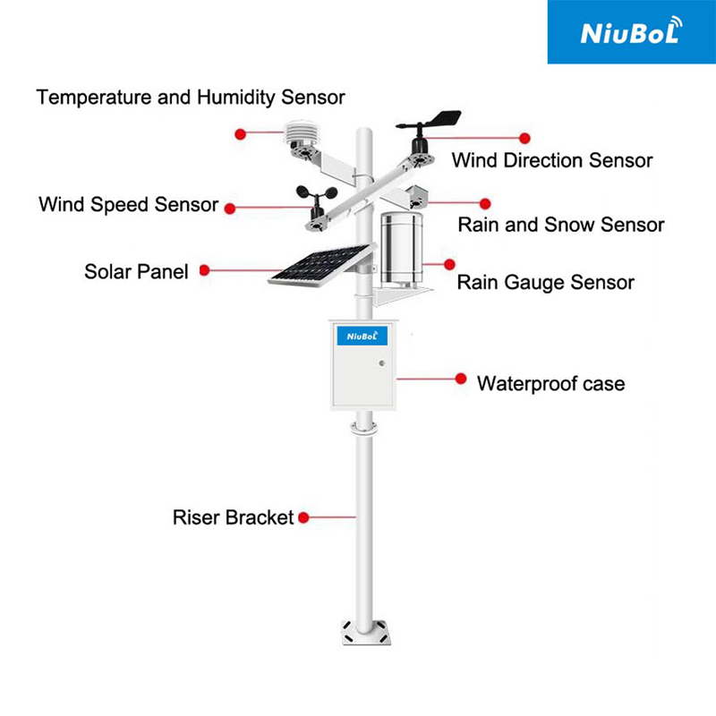
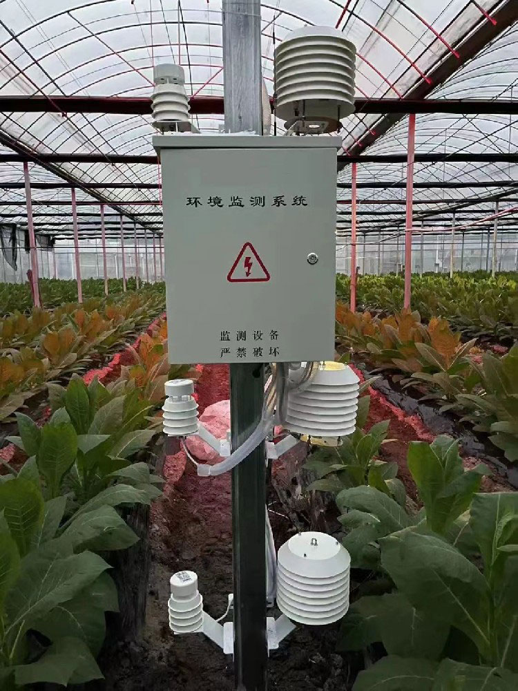
A farm reference station, greenhouse point and rooftop installation measure different environments. The location is acceptable only in relation to that intended use. An outdoor reference beside an irrigation sprinkler can record irrigation effects; an instrument inside the greenhouse cannot provide an independent outdoor reference. Neither problem is resolved by selecting a sensor with a smaller accuracy figure.
Define the area, height and operating question represented by each channel. If a project requires a named meteorological-network standard or siting class, obtain the applicable criteria before comparing locations. A general installation article is not evidence that a proposed site meets that classification.
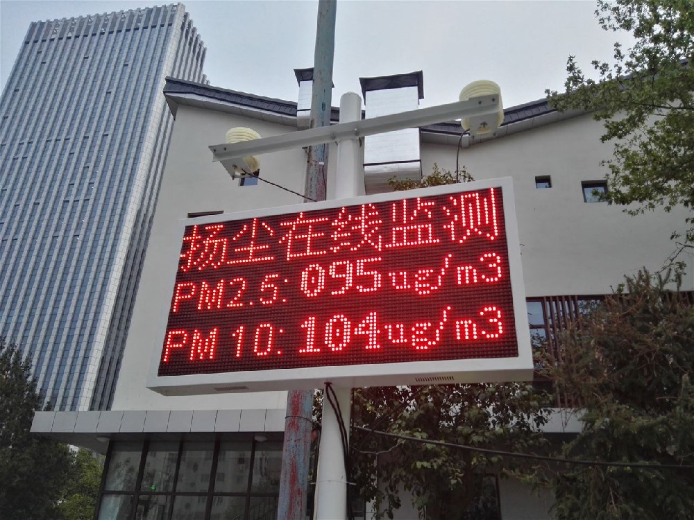
Walk around each candidate point and record obstacles by direction, approximate height and distance. Include trees that will grow, seasonal crops, walls, exhausts and reflective surfaces. Photograph the surroundings from the proposed sensor positions where safe and practical. A street-level photograph can miss an obstruction visible from the actual mounting height.
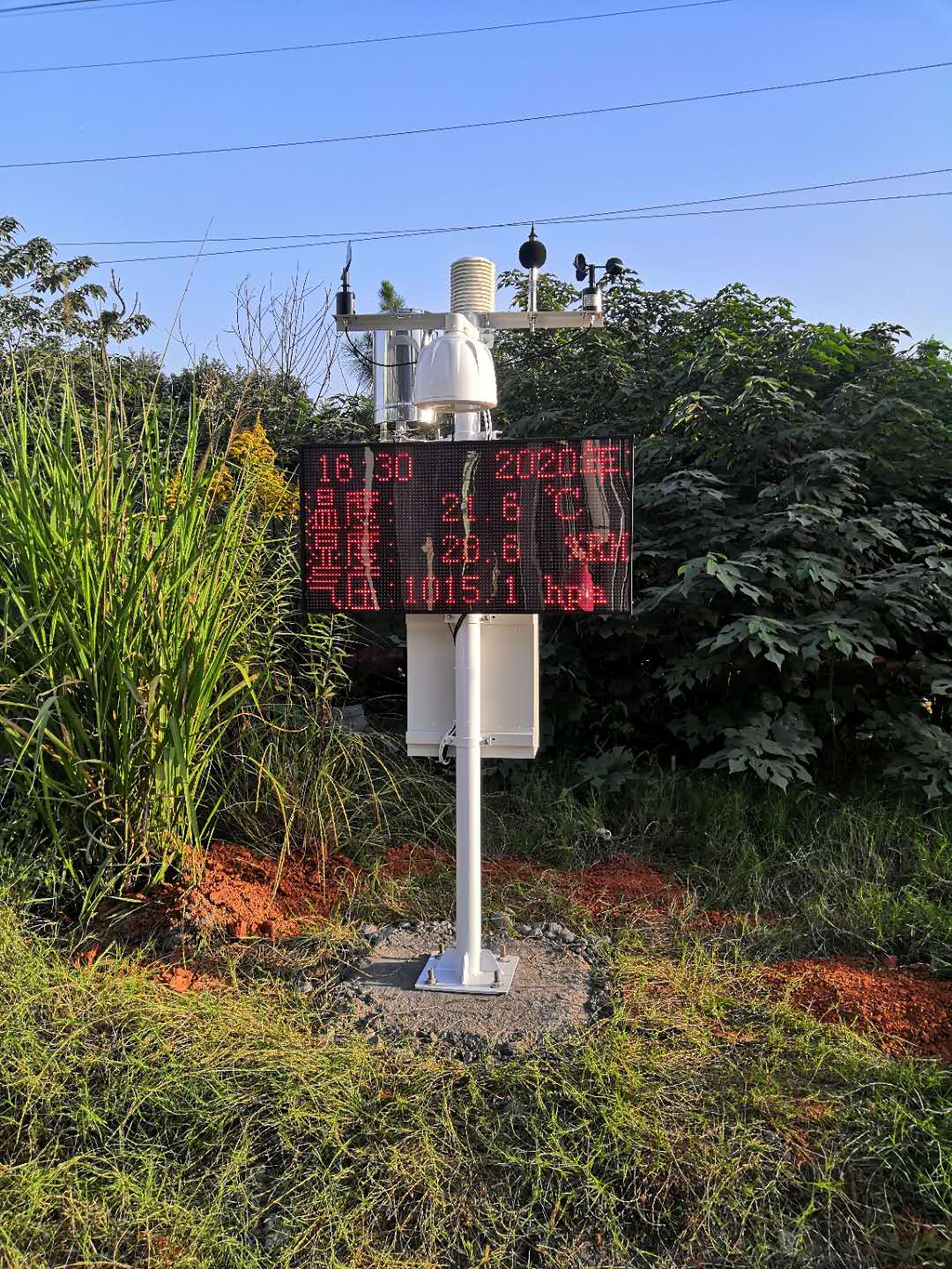
The dust-monitoring installation illustrated here is a different observation task from an open-field weather reference. Likewise, local air temperature near pavement may be useful for a paved-site study but unsuitable for representing a broader vegetated area. Record the intended exposure instead of labelling every installed station as equivalent meteorological coverage.
| Channel | What to inspect at each candidate site | Reason to reconsider the position |
|---|---|---|
| Air temperature and humidity | Ground surface, ventilation, shade from structures, exhaust and irrigation spray | The sensor would sample a local heat, moisture or enclosure influence outside the objective. |
| Wind speed and direction | Obstructions and terrain by sector; mast and crossarm interference | Important wind sectors are sheltered or strongly disturbed. |
| Rainfall | Collector level, splash, overhangs, drip sources and wind exposure | Collection is affected by roof runoff, tree drip or an unsuitable exposed mounting. |
| Solar irradiance | Sky view, seasonal shadow paths and intended measurement plane | Nearby equipment or vegetation shades the sensor during relevant periods. |
| Soil measurements, if included | Representative soil, irrigation zone and distance from disturbed foundation material | The probe would measure backfill or a different management zone. |
Greenhouse instruments deliberately measure a managed enclosure. Their placement should follow crop and ventilation objectives, not an outdoor reference-site rule. If both environments matter, identify the indoor and outdoor points separately and compare them using an agreed time basis.
Temperature, wind and precipitation respond differently to their surroundings. A single rule such as a fixed distance from all buildings, roads or water bodies cannot describe every application. The NWS cooperative observing guidance, for example, treats temperature exposure separately from rain-gauge shelter and turbulence. Its network-specific criteria are not a universal installation certificate for every station.
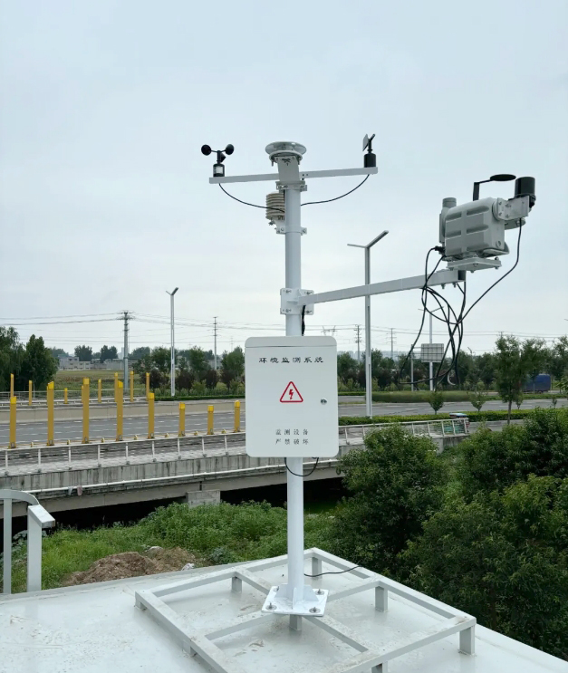
For a rooftop project, the roof itself can change temperature, airflow and runoff exposure. Elevating a sensor above one obstacle does not remove all building effects. If roof conditions are the target, document that objective. If the target is wider open-air weather, compare a ground-level alternative before accepting the roof for convenience.
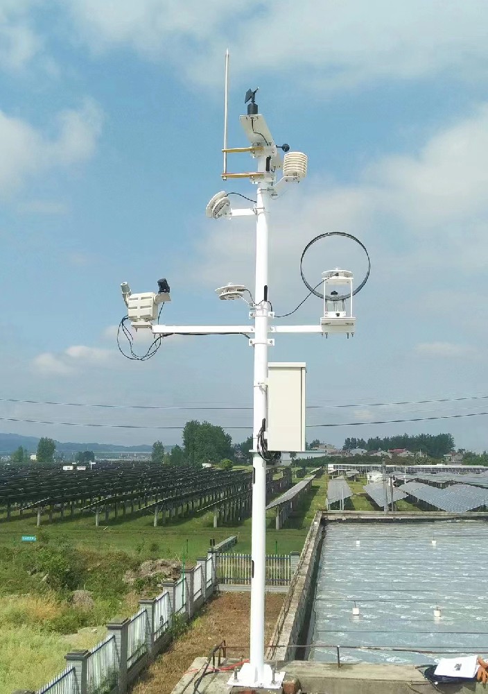
Consider an illustrative farm with three possible positions: beside the office, at an open field boundary and within the crop. The office may simplify power and service while introducing heat and wind disturbance. The boundary may improve exposure but require a longer cable or independent supply. The crop point may answer canopy questions while changing as the crop grows.
List these consequences channel by channel. An excellent communication signal should not cancel a disqualifying exposure problem in an averaged score. Where no single position satisfies all required measurements, separate the instruments or document the accepted limitation. Compare this approach with one-mast versus separate measuring points before ordering the mounting arrangement.
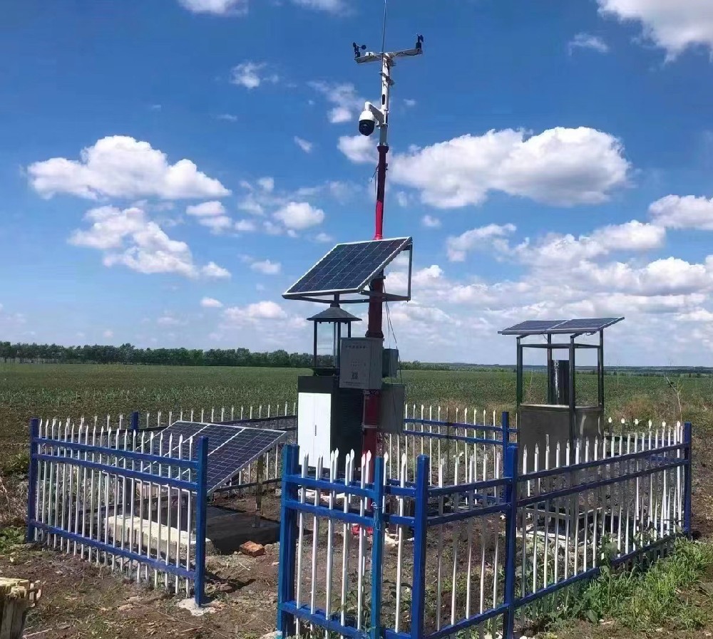
Survey likely crop height, leaf cover, snow accumulation, flooding and maintenance access through the operating year. An accessible field margin in dry weather can become unreachable during the period when rain records matter most. A solar panel with a clear summer view may be shaded later by the canopy or surrounding structures.
Security and fencing are legitimate needs, but their position can also affect airflow and collection. Include the planned fence, cabinet, panel and access path in the layout. Confirm land-use permission and future construction plans so a newly built shelter or road does not immediately change the exposure of an accepted point.
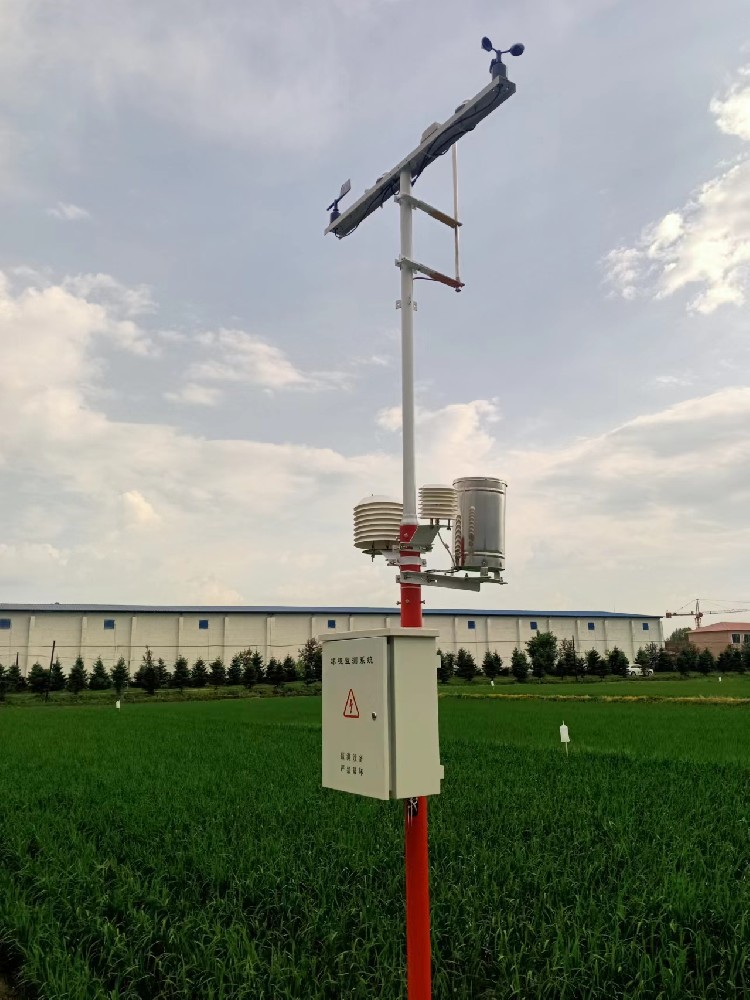
The station's operating limits depend on the selected instruments. The NBL-W-RS tipping-bucket rain gauge has a 0-50 C operating range; its -40 to 80 C storage range does not make the basic configuration a freezing-weather precipitation system. A wider-range air sensor does not extend the rain gauge's operating range.
| Component | Relevant parameter | Site-selection consequence |
|---|---|---|
| NBL-W-LBTH air sensor | Operating temperature -40 to 80 C; DC 12-24 V options; RS485 or 4-20 mA options | Check the ordered output and supply, then provide the required ventilated exposure. |
| NBL-W-SS / NBL-W-DS | Operating temperature -40 to 80 C; IP65 | Water protection does not remove obstruction, icing or moving-part inspection requirements. |
| NBL-W-RS rain gauge | Operation 0-50 C; intensity range 0-4 mm/min; 0.2 mm resolution | Assess climate and precipitation needs before accepting a basic liquid-rain configuration. |
| NBL-W-HPRS pyranometer | Measurement 0-2000 W/m2; operation -40 to 50 C | Review both the temperature limit and solar access on the intended plane. |
Test the intended communication method at the proposed antenna position, not only at the office. If terrain blocks the link, compare antenna placement, an alternative network or a different data-transfer arrangement before moving sensors into an unsuitable microenvironment. Check the actual modem configuration and regional service availability for a cellular system.
For a wired option, assess the route, voltage drop, protection and maintenance access. RS485 Modbus RTU compatibility requires the selected device protocol and settings as well as the electrical interface. For solar supply, include the logger, communication equipment, heaters and display where fitted, not only the sensing elements.
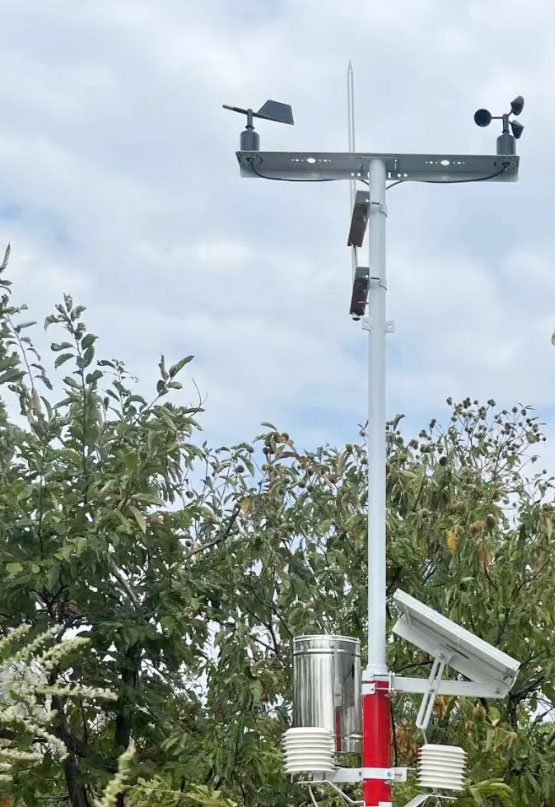
Before civil work, mark the instrument positions, heights, orientation references, cable routes and service clearances on a drawing. Have the appropriate designer assess the foundation, support loads, earthing and local safety requirements. Do not derive structural capacity from sensor range or assume that adding guy wires makes every tripod suitable for every wind exposure.
At installation, compare the built layout with the selected location. If the contractor moves the mast to avoid a buried service or makes room for a larger enclosure, reassess the affected channels. A small physical move can put the rain collector under a drip line or the radiation instrument into a recurring shadow.
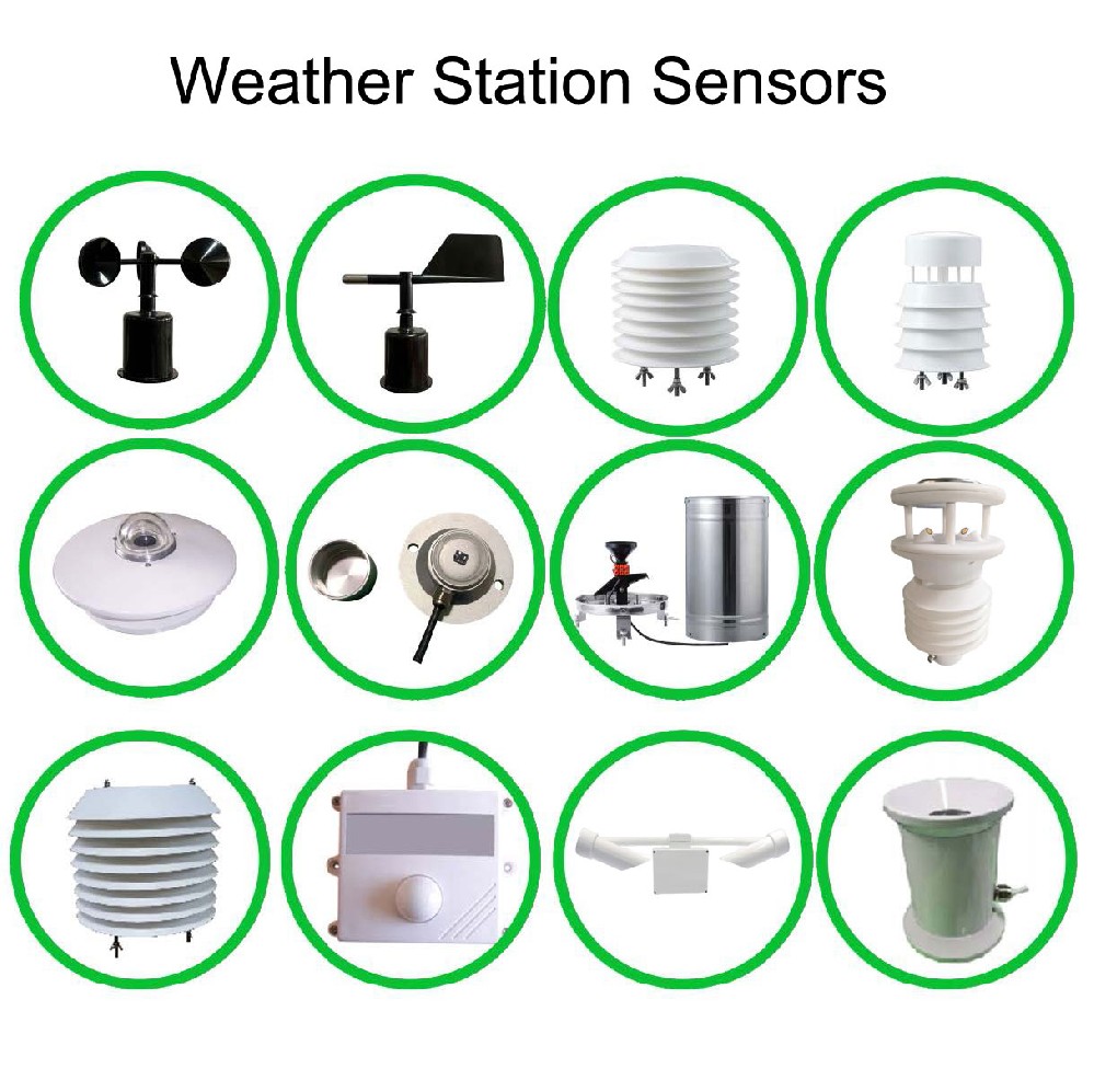
Keep the chosen location and rejected alternatives, the reason for each decision, obstacle photographs, seasonal constraints and the remaining limitations. Attach these to the station's configuration record. Later changes in vegetation or buildings can then be distinguished from a sensor fault rather than corrected by an unjustified calibration adjustment.
For a NiuBoL configuration review, provide the channel list, candidate-point map, photographs, expected environmental extremes, power options and receiving system. State whether measurements support an open reference, a crop environment, roof conditions or another local objective. The answer affects both equipment placement and the scope of the installation quotation.
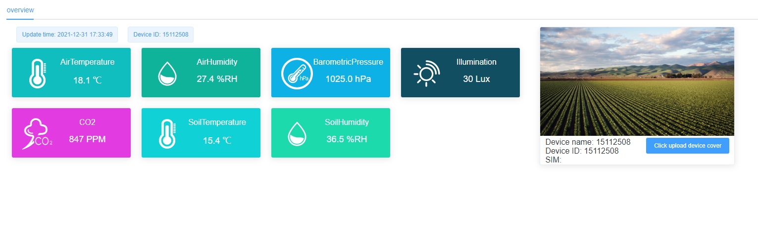
No. Building height, direction, surrounding surfaces and the channel's purpose matter. Apply the relevant project's siting criteria and examine exposure by measurement rather than treating one clearance as a universal pass.
No. A waterside microclimate may be the intended observation. If the purpose is to represent a wider land area, assess the water body's influence and document the choice. There is no single separation distance for every objective.
Not reliably where terrain shelter dominates the measured wind. Shelter may protect equipment while changing the quantity of interest. Select for the observation objective and engineer the support and access for the resulting exposure.
Do not assume so. A variable shadow, exhaust plume or wind obstruction is not necessarily a stable offset. Correct placement where practical, retain exposure metadata and use any subsequent correction only with a defensible method.
No. Review the exposure after significant vegetation, construction, surface or equipment changes. Record relocations and changes to mounting height so historical comparisons do not silently combine unlike conditions.
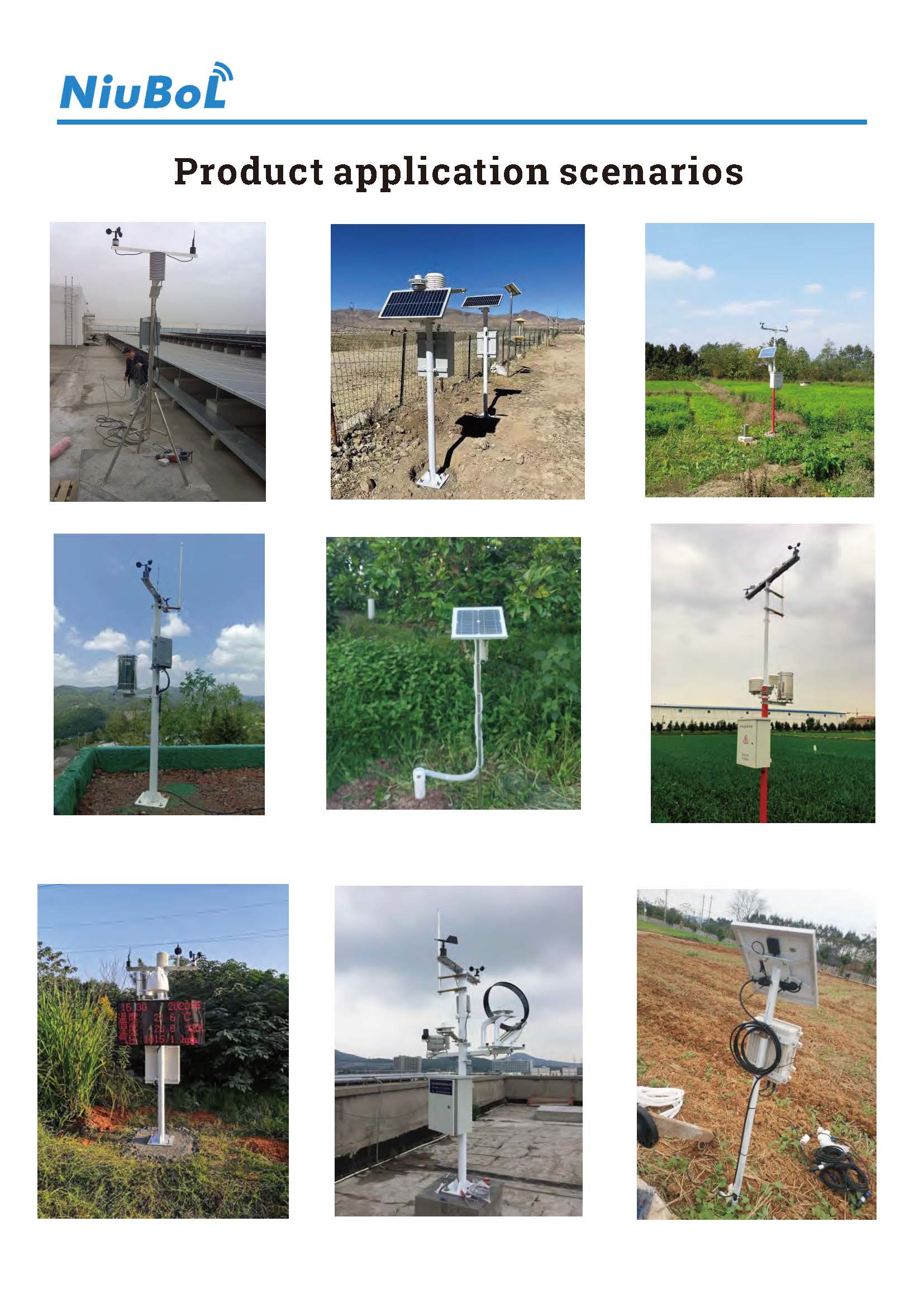
Automatic weather station site selection is a documented comparison of measurement exposure and practical constraints. Choose the observation objective first, evaluate each channel and resolve avoidable conflicts before construction. A useful NiuBoL proposal starts with those site details, not a single universal mounting height or distance rule.
Prev:Professional Weather Station Installation: Diagnose First-Start Readings
Next:Scenic Area Meteorological Monitoring: Compare Woodland and Open-Air Records
Related recommendations
Sensors & Weather Stations Catalog
 Agriculture Sensors and Weather Stations Catalog-NiuBoL.pdf
Weather Stations Catalog-NiuBoL.pdf
Agriculture Sensors Catalog-NiuBoL.pdf
Water Quality Sensor Catalog-NiuBoL.pdf
Related products
 Combined air temperature and relative humidity sensor
 TDR Soil Moisture & Temperature Sensor for irrigation| RS485 |4-20mA| NBL-S-THR
 Soil pH sensor RS485 soil Testing instrument soil ph meter for agriculture |NBL-S-PH
 Wind Speed sensor Output Modbus/RS485/Analog/0-5V/4-20mA
 Tipping bucket rain gauge for weather monitoring auto rainfall sensor RS485/Outdoor/stainless steel
 Pyranometer Solar Radiation Sensor 4-20mA/RS485


Screenshot, WhatsApp to identify the QR code
WhatsApp number:+8615367865107
(Click on WhatsApp to copy and add friends)

