





— Blogs —
—Products—
 Consumer hotline +8618073152920
WhatsApp:+8615367865107
Address:Room 102, District D, Houhu Industrial Park, Yuelu District, Changsha City, Hunan Province, China
Product knowledge
Time:2024-10-27 16:58:31 Popularity:2977
Weather station coverage cannot be validated from a quoted radius alone. A conventional station measures conditions at its instruments; whether those observations represent another location must be assessed for each required quantity and operating decision. Use simultaneous site comparisons to test that assumption. Radio reach, a larger rain collector or a taller mast does not establish an area-wide measurement guarantee.
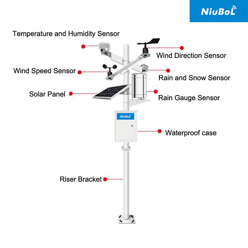
Specify the locations, quantities and decisions that are meant to share one station. A temperature reference for a site report is a different requirement from detecting a cold pocket. Rainfall totals for water accounting differ from local wind conditions near an exposed work area. Testing every quantity against one average-distance rule will miss these differences.
For the field comparison, define what disagreement would change the intended action. Set that criterion with the responsible project team before reviewing the results. There is no universal acceptable difference for every application, and general monitoring equipment should not be assumed suitable for a safety-critical decision simply because two traces look similar.
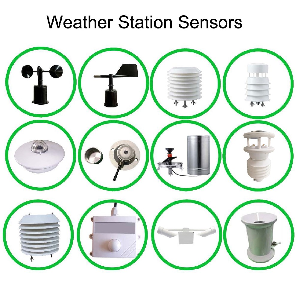
Place the proposed instruments under comparable exposure for an initial agreement check, following their installation requirements. Compare matching quantities and time intervals. This helps identify a sensor offset, unit error or clock difference before real spatial variation is introduced.
A NiuBoL NBL-W-LBTH can provide temperature, relative humidity and pressure through its selected RS485 Modbus RTU or analog interface. Verify each quantity independently in the data logger. A shared model name does not eliminate instrument uncertainty, and an atmospheric-pressure reading should not be compared with a sea-level-corrected value as though they were identical.
A larger collector does not make a rain gauge measure rainfall over a larger surrounding area. It collects precipitation through its own opening. Use appropriately installed gauges at the candidate locations if the project needs to determine whether one rainfall record can represent several parts of the site.
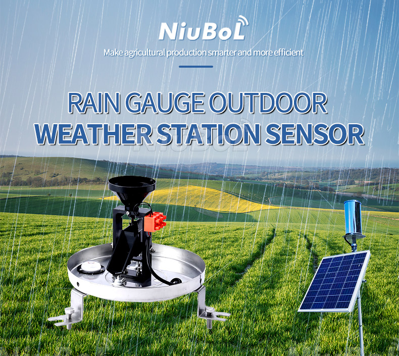
Compare the same event start and end times, accumulation rules and valid observation periods. Review instrument resolution, exposure and maintenance before attributing every difference to the rain field. A blocked collector or test-generated bucket tips can create apparent spatial variation that is actually a measurement problem.
The National Weather Service guidance on cooperative instrument siting explains how surrounding surfaces, obstructions and exposure affect observations. Its siting guidance is not a specification for how many square kilometres a rain gauge represents. Keep exposure checks separate from the spatial comparison.
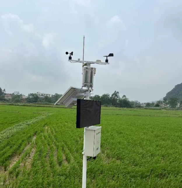
A daily mean can hide a short night-time temperature difference or a change in wind during operations. Review the periods that matter, not only a whole-trial correlation. Two temperature series can rise and fall together while disagreeing consistently at the time an action is needed.
| Quantity | Useful comparison | Important trap |
|---|---|---|
| Air temperature | Paired differences during relevant day and night conditions | A matching daily mean hides short local departures. |
| Relative humidity | Same-height, time-aligned observations with temperature context | Different exposure or response creates apparent spatial differences. |
| Wind | Matching speed statistics and directional sectors | Different averaging or mounting height makes an invalid comparison. |
| Rainfall | Event totals with common boundaries and valid records | Resets, blockage or service counts resemble real site variation. |
| Solar irradiance | Matching sensor planes and suitable time intervals | Shade or different tilt is mistaken for distance-related variation. |
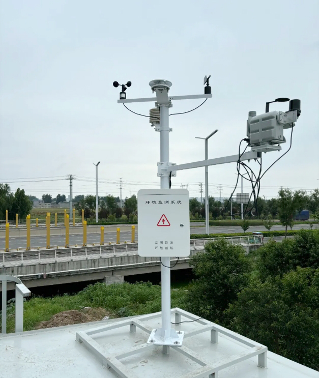
For wind direction, use a circular comparison rather than ordinary subtraction across north. As an illustrative calculation, directions of 359 and 1 degrees are separated by 2 degrees, not 358 degrees. Retain the wind-speed context and the instrument's low-speed limitations when interpreting direction.
Document sensor height, orientation and nearby obstructions at each point. A taller mast changes exposure; it does not automatically increase a sensing radius. If a sheltered point is the operational location of interest, its difference from an open reference may be the finding the study needs rather than an error to remove.
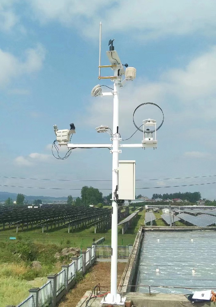
Where practical, repeat a comparable-exposure check after the trial. An offset that appears only after deployment may indicate damage or drift. A carefully documented exchange of instruments between positions can also help investigate whether a difference follows the instrument or the location, provided the comparison includes sufficiently comparable conditions.
Do not treat a sequential visit with one portable instrument as a simultaneous comparison when the weather is changing. Retain a fixed reference during the visit or use synchronized loggers. An observed difference otherwise combines location and time, and cannot be assigned to distance alone.

A comparison can support sharing temperature for a stated reporting purpose while showing that rainfall or wind needs additional observations. Record those separate conclusions. Buying another complete station is not the only option; a compatible additional sensor and acquisition point may address the specific missing observation.
List the required input, power and communication path for each added point. NBL-W-SS and NBL-W-DS are specified with IP65 protection, but their selected output still has to match the receiving equipment. Neither an IP rating nor RS485 establishes a wireless radius or demonstrates that a reading represents an entire site.
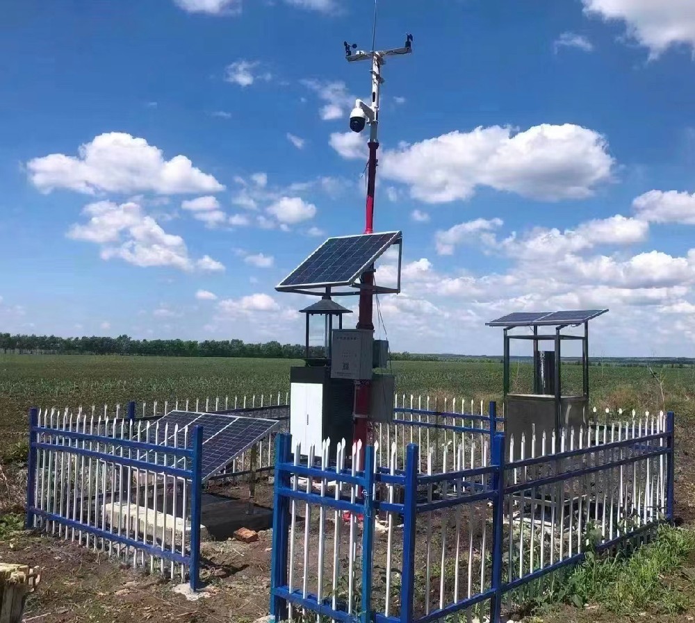
Document the dates, valid data periods, weather encountered and conditions absent from the study. A dry comparison cannot validate spatial rainfall agreement. A calm period cannot establish the wind relationship during an important directional regime. Extend or qualify the conclusion when the relevant conditions have not occurred.
A useful report identifies the supported area for each quantity under the tested conditions, the criterion used and any retained local points. It should not convert a short comparison into a permanent all-weather coverage guarantee. Review the conclusion after meaningful changes in buildings, vegetation, measurement height or land use.
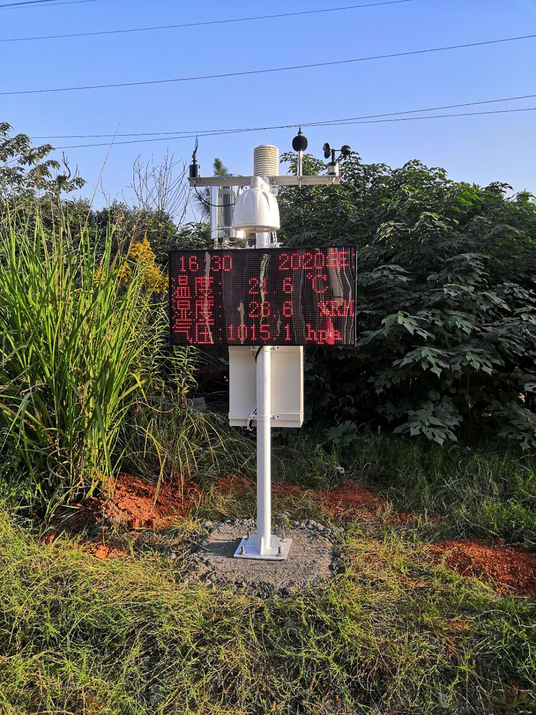
Provide NiuBoL the site layout, locations compared, required quantities and the observations that still need local measurement. Include existing sensor models, outputs and logger capacity. Ask for the additional sensing and acquisition scope required by those gaps rather than a larger advertised coverage number.
For the first installation, a staged comparison can help decide which additional points are justified before committing to repeat stations. For farms, agricultural weather observation planning also distinguishes shared weather references from local crop and soil points. A genuinely different local condition can require its own continuing record; the comparison is not a promise that all sites can reduce hardware.
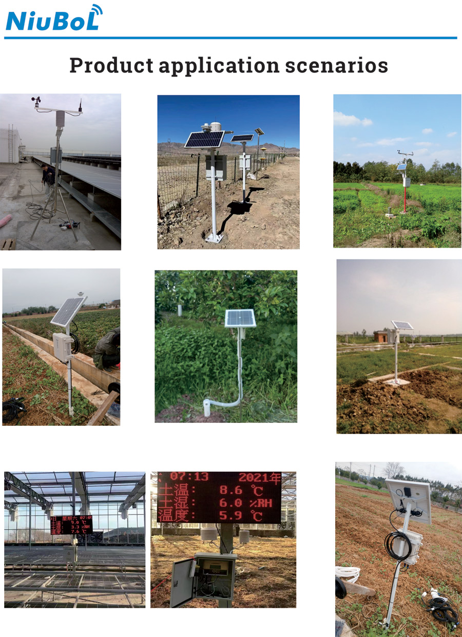
Not as a universal measurement claim. Define which quantity must represent which locations, then compare observations under the conditions relevant to the intended use.
No. It changes the collector geometry, not the area of surrounding rainfall directly measured. Assess spatial rainfall variation with appropriate additional observations.
No. Examine actual differences during the decision periods as well as general co-variation. A consistent bias or missed short event can matter even when correlation is high.
Long enough to include the conditions the project needs to assess, with adequate valid records. Specify those conditions rather than adopting an arbitrary number of days that may contain no useful events.
Not necessarily. Add the measurements that the comparison shows are needed locally, provided their power, interface and data destination are supported. Keep each point identifiable.
No. Outdoor weather observations do not establish conditions throughout underground workings. Underground environmental monitoring requires instruments and system design suited to the actual underground application.
Validate weather station coverage through time-aligned, quantity-specific comparisons. Check instrument agreement first, test the operating conditions that matter and state the limits of the result. This gives project owners a defensible basis for sharing some observations and retaining local measurement where it changes a decision.
Prev:Calculate Daily Irradiation with a Small Photovoltaic Weather Station
Next:Multifunctional Weather Station: Channel Isolation During Sensor Replacement
Related recommendations
Sensors & Weather Stations Catalog
 Agriculture Sensors and Weather Stations Catalog-NiuBoL.pdf
Weather Stations Catalog-NiuBoL.pdf
Agriculture Sensors Catalog-NiuBoL.pdf
Water Quality Sensor Catalog-NiuBoL.pdf
Related products
 Combined air temperature and relative humidity sensor
 TDR Soil Moisture & Temperature Sensor for irrigation| RS485 |4-20mA| NBL-S-THR
 Soil pH sensor RS485 soil Testing instrument soil ph meter for agriculture |NBL-S-PH
 Wind Speed sensor Output Modbus/RS485/Analog/0-5V/4-20mA
 Tipping bucket rain gauge for weather monitoring auto rainfall sensor RS485/Outdoor/stainless steel
 Pyranometer Solar Radiation Sensor 4-20mA/RS485


Screenshot, WhatsApp to identify the QR code
WhatsApp number:+8615367865107
(Click on WhatsApp to copy and add friends)

