

— Blogs —
—Products—
 Consumer hotline +8618073152920
WhatsApp:+8615367865107
Address:Room 102, District D, Houhu Industrial Park, Yuelu District, Changsha City, Hunan Province, China
Product knowledge
Time:2023-03-04 20:25:39 Popularity:1833
Quick Answer: A handheld weather station is suited to short-duration field measurements and mobile surveys. Confirm the measured parameters, response behavior, data logging, sensor exposure and export method before ordering. For a repeatable survey, the location, observation time and measurement procedure matter as much as the instrument specification; a portable reading cannot recreate an unattended weather record.
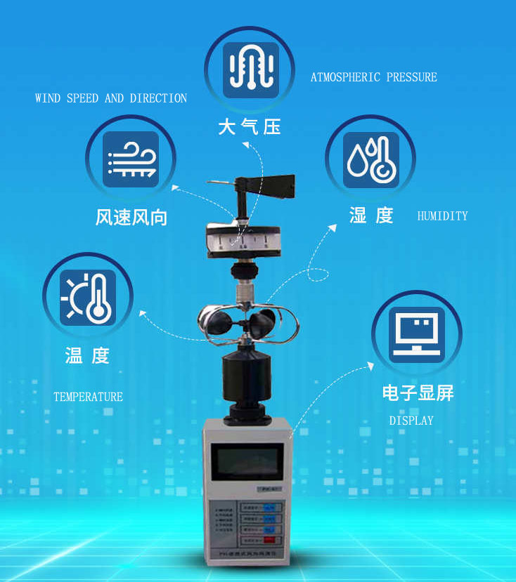
Portable measurements are useful for crop scouting, construction checks, environmental surveys, emergency assessment and research transects. The operator can compare locations during one campaign, but the result represents the instrument, height, exposure and time of each observation. A brief handheld reading should not be compared directly with a long-term station record unless the method is documented.
Write a specific question for the visit. A farm team might investigate whether a shaded crop edge differs from an exposed block. A contractor might document local wind while assessing temporary monitoring positions. A research team might repeat observations along a marked transect. These tasks require different point layouts, but all need an identifiable observation method.
A handheld weather station provides attended measurements. It can support inspection and site assessment, but a general-purpose unit does not establish permission to spray, work at height or operate lifting equipment. Apply the relevant operating procedure and any required approved instrumentation separately. Do not turn a convenient wind display into a safety authorization it was not designed to provide.
The NiuBoL NBL-HWS configuration combines wind speed, a wind-direction indication, air temperature, relative humidity and atmospheric pressure. Its USB connection supports downloading observations to a computer. The quantities have different meanings and limitations; adding them together as a five-parameter count does not describe the survey's uncertainty.
| NBL-HWS channel or function | Configuration detail | Survey consequence |
|---|---|---|
| Wind speed | 0-45 m/s; stated accuracy +/-0.3 m/s; resolution 0.1 m/s. | Keep the wind path clear and identify the observation statistic. |
| Wind direction | 16 compass directions. | Preserve the sector indication rather than reporting false one-degree detail. |
| Air temperature | -50 to +80 degrees C; stated accuracy +/-0.3 degrees C; resolution 0.1 degrees C. | Separate the measurement span from the complete unit's operating limit. |
| Relative humidity | 0-100% RH measurement span; stated accuracy +/-5% RH; resolution 0.1% RH. | Check exposure, stabilization and the instrument environment. |
| Atmospheric pressure | 10-1100 hPa; stated accuracy +/-0.3 hPa; resolution 0.1 hPa. | Identify the pressure basis when comparing another record. |
| Power | Three AAA dry batteries. | Plan spare batteries; do not assume USB charging. |
| Data connection | USB download using matching software. | Demonstrate transfer on the computer intended for the project. |
| Instrument environment | -20 to +80 degrees C; 5-95% RH. | The sensor spans do not extend the operating conditions of the assembled unit. |
For example, the temperature measurement span reaches -50 degrees C, while the complete instrument's specified operating environment starts at -20 degrees C. Those are different limits. Similarly, the 0-100% RH measurement span is not permission to expose the assembled instrument to continuous condensation or immersion.
Sixteen equally spaced compass sectors are 22.5 degrees apart. Converting a sector label to its center angle may help a data import, but it does not create a more detailed direction measurement. Retain the original label and the conversion convention when comparing with a fixed digital vane.
A mobile survey takes measurements at different places at different times. If the weather changes while the operator walks between points, the resulting differences contain both effects. This is especially important near sunrise, during changing cloud cover or when wind conditions are variable.
Consider an illustrative temperature survey: point A reads 22.1 degrees C at 08:10, point B reads 24.2 degrees C at 08:25, and a return to point A reads 24.0 degrees C at 08:40. The first A-to-B difference is 2.1 degrees C, but the return observation shows substantial warming during the route. It does not establish that B is consistently 2.1 degrees C warmer than A.
Revisiting a reference point, reversing the route on another visit or using a simultaneous reference instrument can help investigate this problem. Choose the method according to the decision and required uncertainty. Keep the times in the dataset rather than replacing them with one campaign timestamp.
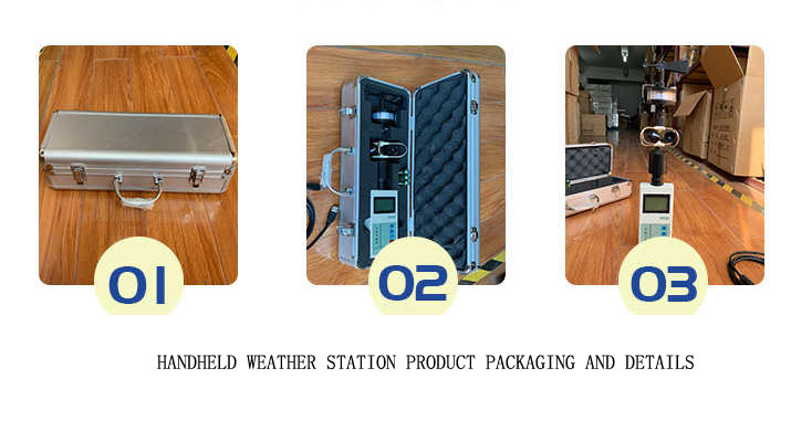
Before leaving, assemble the ordered sensors, check their connections and confirm that the display, clock, units and recording settings operate as expected. Perform a short record-and-download trial. This is a better time to find a missing cable or incompatible software arrangement than after collecting a full day's observations.
For air measurements, avoid warming the sensing region through handling and do not compare a reading beside a sun-heated vehicle with an open-air point as though the instrument exposure were identical. Follow the instrument's intended protection and ventilation arrangement. A simple relocation into shade may change the observation being made, so record the method rather than silently changing it.
For wind, keep the operator and nearby objects from blocking the approach. Use the required orientation for the direction indication and record the observation height. At a structure, decide whether the objective is local airflow near that structure or representative open-site wind. Both can be useful, but they should not be given the same interpretation.
Stabilization time depends on the channel, the previous environment and the conditions at the next point. Moving from a warm vehicle to cool field air is different from moving between similar outdoor points. Use a defined acceptance procedure and record the observation duration. Temperature, humidity and wind need appropriate channel-specific observation periods rather than one fixed waiting time.
Confirm recording capacity and interval for the delivered revision. Do not convert a memory-size statement into a guaranteed year of data or a battery-endurance claim. The number of channels, recording interval and available power affect how a campaign must be organized.
Inspect the exported records for units, time convention, missing observations and sensor identity. Keep a route sheet or digital location record that can be matched to the observations. If location is recorded separately, the clock alignment matters. USB connectivity alone does not establish automatic GPS tagging; confirm whether the selected kit provides location data or requires a separate route record.
Distinguish stored observations from live display values. A maximum noticed by the operator may not be a maximum retained in the export. Likewise, a slowly recorded wind series cannot reconstruct every gust between records. Establish which statistics the selected instrument actually provides before promising a deliverable to a client.
Atmospheric pressure comparisons need the same basis. A station-pressure reading and a sea-level-adjusted weather-service value can differ because they describe different quantities. Also keep units explicit: 1000 hPa equals 100000 Pa. A factor-of-100 difference in an imported column is a data-format problem, not evidence of an extraordinary pressure event.
Demonstrate assembly, a repeatable observation, storage and export with the actual kit. Include a battery change and confirm what happens to time and retained records. A successful display demonstration alone does not prove the data workflow required by a research or contractor report.
Compare instruments under equivalent exposure and matching observation definitions if a field check is required. Differences may arise from response time, position or averaging as well as instrument error. A side-by-side comparison can identify an issue, but it is not automatically a traceable calibration. Specify the calibration documentation the project requires.
For NiuBoL selection, provide the survey purpose, required channels, environmental conditions, visit duration and intended computer/software environment. Ask for the exact sensor assembly, carrying and mounting accessories, batteries, USB cable, export demonstration and documentation included. Compare an unattended automatic station separately when observations are needed between visits.
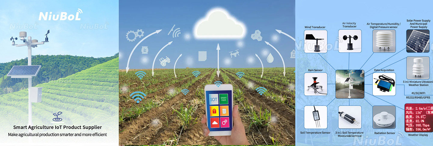
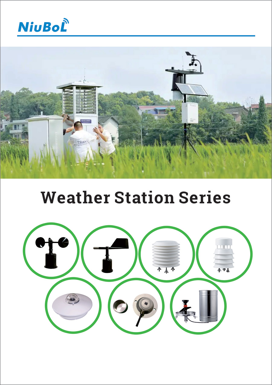
The weather-sensor illustration includes instruments from a wider catalog. Rainfall, solar radiation and other channels are not part of a handheld kit merely because they appear beside wind and air sensors. Confirm the delivered equipment list against the measurements named in the project.
It can answer attended survey questions, but it cannot recover the period between visits. Continuous unattended records need a suitable fixed exposure, power arrangement, enclosure, acquisition system and maintenance plan.
Use a stabilization and observation procedure appropriate to the selected channel and project method. Keep it consistent across points. A fixed number of seconds is not suitable for every instrument or environmental transition.
No. USB download and RS485 Modbus RTU polling are different interfaces. Do not connect the handheld unit to a field bus or assume live PLC access without a documented compatible arrangement.
No. Preserve its sector resolution. A sector-center conversion can support data formatting, but it does not improve the underlying measurement or justify extra decimal places.
No. Storage capacity and energy endurance are separate properties. Confirm the recording configuration, expected campaign duration and battery plan for the delivered revision, and check them in a practical trial.
Check the ordered channels, assembly, environmental limits, units, clock, recording behavior and export on the intended computer. Include accessories and calibration documentation in the acceptance list rather than testing only the display.
A handheld weather station is most useful when the survey method is repeatable. Define the question, control exposure and verify the data workflow before procurement. Preserve location and time context so the observations support an engineering comparison rather than a collection of unrelated readings.
Prev:Automatic weather stations in the application of agro-meteorological environmental monitoring
Next:Agricultural Weather Station: Sensors, Monitoring and Farm Applications
Related recommendations
Sensors & Weather Stations Catalog
 Agriculture Sensors and Weather Stations Catalog-NiuBoL.pdf
Weather Stations Catalog-NiuBoL.pdf
Agriculture Sensors Catalog-NiuBoL.pdf
Water Quality Sensor Catalog-NiuBoL.pdf
Related products
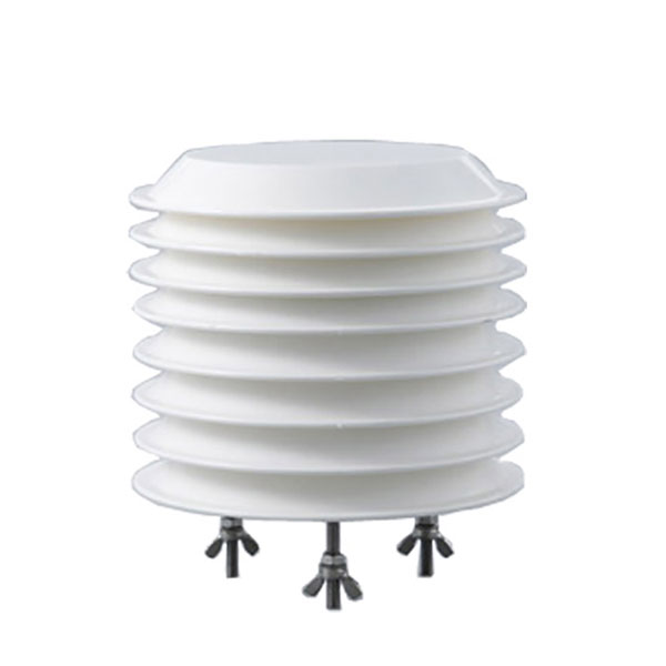 Combined air temperature and relative humidity sensor
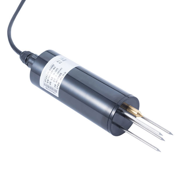 TDR Soil Moisture & Temperature Sensor for irrigation| RS485 |4-20mA| NBL-S-THR
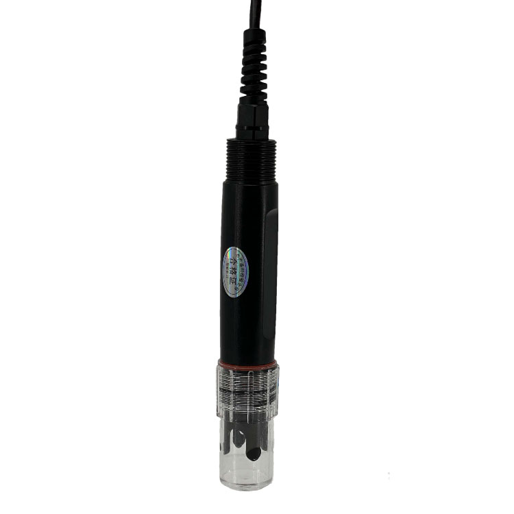 Soil pH sensor RS485 soil Testing instrument soil ph meter for agriculture |NBL-S-PH
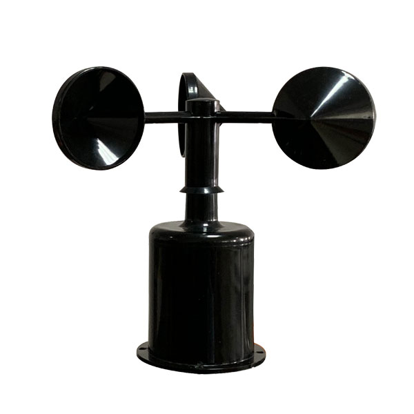 Wind Speed sensor Output Modbus/RS485/Analog/0-5V/4-20mA
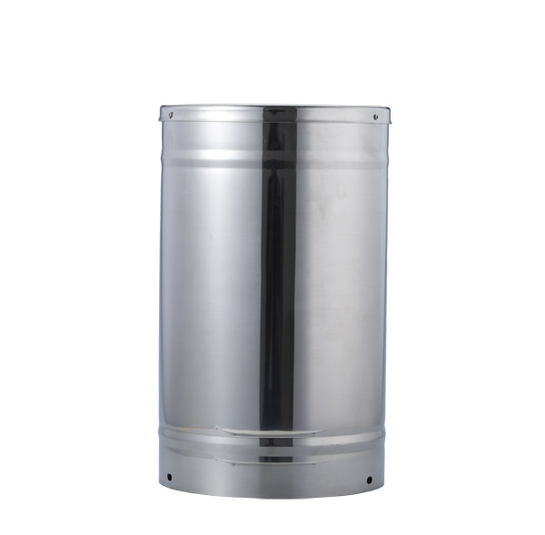 Tipping bucket rain gauge for weather monitoring auto rainfall sensor RS485/Outdoor/stainless steel
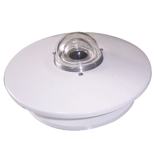 Pyranometer Solar Radiation Sensor 4-20mA/RS485


Screenshot, WhatsApp to identify the QR code
WhatsApp number:+8615367865107
(Click on WhatsApp to copy and add friends)