





— Blogs —
—Products—
 Consumer hotline +8618073152920
WhatsApp:+8615367865107
Address:Room 102, District D, Houhu Industrial Park, Yuelu District, Changsha City, Hunan Province, China
Product knowledge
Time:2025-09-29 16:02:09 Popularity:934
Climate stations for government agriculture programs should be procured as a continuing observation service, not only as installed hardware. Define the measured variables, station exposure, data ownership and maintenance responsibility, then preserve the history needed to interpret the records. A new station supports current agricultural decisions immediately, but it does not create a long-term climate baseline on the day it is commissioned.
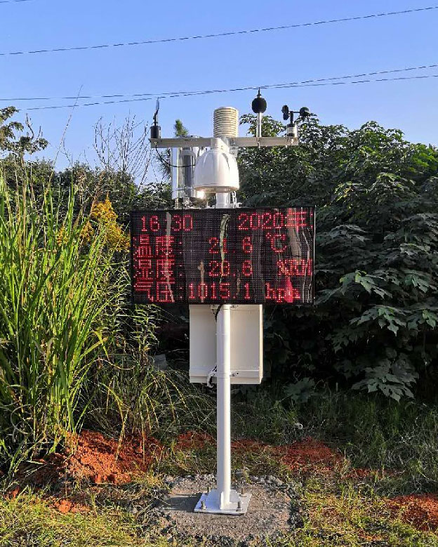
A government agriculture programme may need local weather observations for extension advice, seasonal comparisons, irrigation planning or crop-development analysis. These uses overlap, but they do not require identical calculations or service arrangements. Identify the agricultural decision and the responsible team before specifying a long list of sensor channels.
For example, an extension office issuing weekly advice needs dependable access to recent observations and clear indications of gaps. Researchers comparing seasons also need exposure and instrument histories. Programme administrators may use weather records as one input to a wider assessment, but a station alone does not determine crop loss, insurance eligibility or an individual farm's production outcome.
| Variable or output | How it is obtained | Requirement for a usable record |
|---|---|---|
| Air temperature and relative humidity | Suitably shielded and exposed sensors | Record sensor identity, height, exposure and sample timing. |
| Rainfall | Rain-gauge events accumulated over a defined period | Keep the accumulation boundary, event resolution and gap flags. |
| Wind and solar radiation | Separate instruments with appropriate exposure | Document nearby obstructions and any changes that affect the readings. |
| Reference evapotranspiration, ET0 | A calculation using meteorological inputs and a defined method | Specify the method, time step and treatment of missing inputs; ET0 is not a directly measured sensor channel. |
| Growing degree days | A calculation from temperature under a stated crop model | Retain base temperature, any upper limit and the calculation convention. |
A label such as crop water demand is not a substitute for a calculation specification. Reference ET0 and crop evapotranspiration are different quantities. If a platform supplier offers derived outputs, request the input requirements and calculation settings. Keep those settings with exported results so later staff can reproduce a seasonal report rather than depending on an unexplained dashboard value.
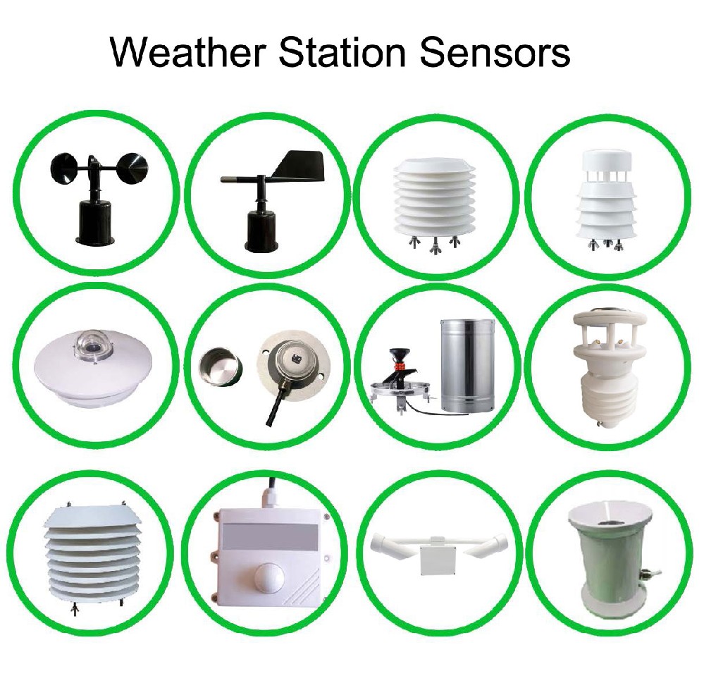
The NiuBoL NBL-W-LBTH combines air temperature, humidity and pressure within a louvered assembly. It is one part of a station, not a complete crop-monitoring system. Rainfall, wind and radiation require their own instruments. Soil measurements may be useful at a demonstration plot, but their location and depth should remain distinguishable from the atmospheric reference record.
| NiuBoL component | Selected specification or function | Programme consideration |
|---|---|---|
| NBL-W-LBTH | Temperature -40 to 80 C, +/-0.5 C; humidity 0-100% RH, +/-5% RH; pressure 10-1200 hPa, +/-1.5 hPa | Range and sensor accuracy do not compensate for poor exposure or a blocked shield. |
| NBL-W-RS rain gauge | Liquid rainfall measurement; 0.2 mm per pulse | Keep the funnel clear and distinguish no rain from a failed or interrupted pulse record. |
| NBL-W-SS wind speed sensor | Cup-type wind measurement; IP65 | Retain exposure details and inspect the rotating assembly. |
| NBL-PH-1 logger | Local FLASH recording; configurable 1-240 minute saving interval; RS485/RS232 interfaces and configured 4G communication | Agree local retrieval, remote delivery and usable record intervals before acceptance. |
For RS485 Modbus RTU channels, use the register map for the supplied version and check units and decimal scaling in the receiving system. Pulse gauges need a suitable counter input and accumulation logic rather than a Modbus address. Confirm input types and power together; a parts list without an agreed acquisition configuration leaves important work unresolved.
Give every station a persistent identifier and retain coordinates, elevation, observation schedule and photographs of its exposure. Record maintenance, sensor replacement, calibration checks and changes to firmware or calculations. When a site moves, preserve the old location and change date rather than simply editing the current coordinate field.
Buildings, growing vegetation and changes to ground cover can alter observations even when the electronics remain unchanged. Inspect exposure periodically and keep dated notes. Where a replacement instrument or site may change the series, consider an overlap comparison where practicable. Do not silently combine unlike records and call the result an uninterrupted climate history.
The World Meteorological Organization's explanation of climate normals describes 30-year reference periods. A recently installed agricultural station cannot supply such a local normal from a few weeks or seasons of readings. Existing regional records can provide context, but their location, period and method should remain identified when compared with the new station.
Define the expected record interval and assess completeness against it. For an illustrative 24-hour period with 15-minute records, 96 records are expected; 90 valid records give 93.75% completeness. This calculation is not a universal acceptance target. The programme must decide its requirement and define how invalid, delayed or duplicate records are counted.
Station power uptime, network availability and valid data completeness are different measures. A powered station may have a blocked rain gauge, while a disconnected logger may still hold useful local observations. Test both situations. Preserve acquisition timestamps, units and quality flags in exports so the receiving department can assess the observations independently of a dashboard status icon.
Assign responsibility for inspections, cleaning, comparison checks and replacement equipment, with access arrangements for each site. Provide staff with channel maps, account access, retrieval instructions and the installed configuration. A short practical exercise in exporting records and locating a fault is more useful than a handover limited to photographs of completed masts.
For a quotation, provide station locations, programme outputs, required channels, recording interval, available power and communication conditions. Separate equipment, civil work, training and recurring service. Ask NiuBoL to match the sensor and logger configuration to those requirements; do not assume that every derived agricultural index or external platform connection is included in the hardware price.
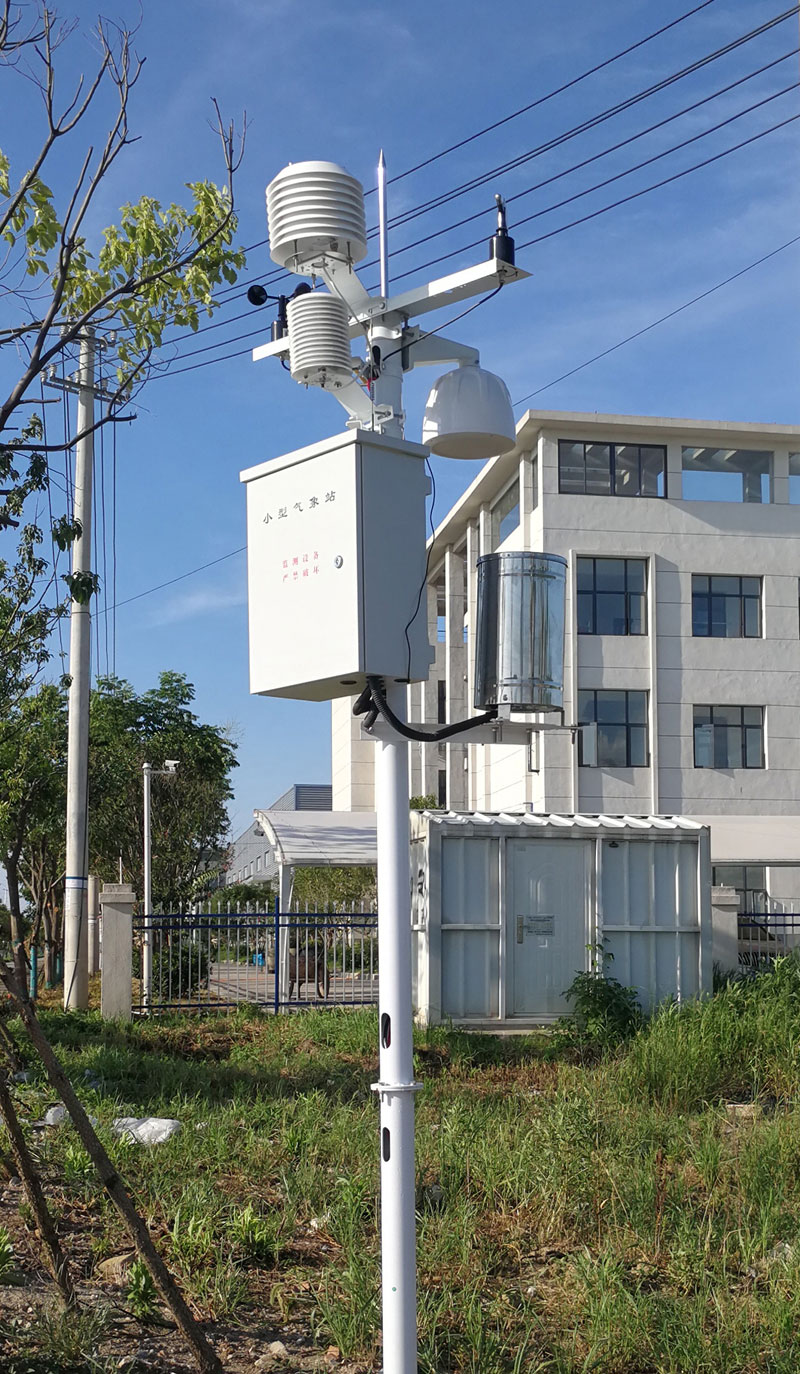
Not in this configuration. ET0 is calculated from suitable meteorological inputs using a defined method. Specify that method and the data needed, including how gaps are handled. A station with only temperature and humidity should not be described as automatically providing the same result as a complete, correctly exposed input set.
It begins a new observation record, but cannot immediately establish a multi-decade normal. Keep any comparison with an existing regional baseline identified by source, location and reference period. Avoid presenting a short installation record as evidence of a long-term local climate trend.
Retain the replacement date, model, serial identity, configuration and relevant comparison results. Keep the previous instrument history rather than overwriting it. If the change affects measurement behavior, flag the boundary for users making seasonal or longer-term comparisons.
Compare expected acquisition records with valid received records, check timestamps and units, and test an interruption followed by recovery. Inspect local data separately. A modem connection or an HTTP success response does not establish that all required observations arrived correctly.
Specify sensor inputs and the platform delivery interface separately. RS485 Modbus RTU covers compatible local sensor communication, not an automatic cloud API. Agree the logger's actual output format, connection method and receiving-system responsibilities before ordering.
Include physical inspections, rain-funnel and shield cleaning, instrument checks, power and communications checks, replacement responsibilities and record keeping. Match visit frequency to local fouling, access and operating experience rather than promising one fixed interval for every station.
Climate stations for government agriculture programs need a durable record and a practical operating arrangement. NiuBoL instruments and data loggers can supply the observation layer. Clear calculation methods, traceable changes and accessible records allow that layer to remain useful as staff, equipment and programme priorities change.
Prev:Anemometers for Farms: Match Wind Records to Field Operations
Next:Environmental Monitoring for Smart Cities: Air, Noise and Water Records
Related recommendations
Sensors & Weather Stations Catalog
 Agriculture Sensors and Weather Stations Catalog-NiuBoL.pdf
Weather Stations Catalog-NiuBoL.pdf
Agriculture Sensors Catalog-NiuBoL.pdf
Water Quality Sensor Catalog-NiuBoL.pdf
Related products
 Combined air temperature and relative humidity sensor
 TDR Soil Moisture & Temperature Sensor for irrigation| RS485 |4-20mA| NBL-S-THR
 Soil pH sensor RS485 soil Testing instrument soil ph meter for agriculture |NBL-S-PH
 Wind Speed sensor Output Modbus/RS485/Analog/0-5V/4-20mA
 Tipping bucket rain gauge for weather monitoring auto rainfall sensor RS485/Outdoor/stainless steel
 Pyranometer Solar Radiation Sensor 4-20mA/RS485


Screenshot, WhatsApp to identify the QR code
WhatsApp number:+8615367865107
(Click on WhatsApp to copy and add friends)

