





— Blogs —
—Products—
 Consumer hotline +8618073152920
WhatsApp:+8615367865107
Address:Room 102, District D, Houhu Industrial Park, Yuelu District, Changsha City, Hunan Province, China
Product knowledge
Time:2025-01-07 20:21:17 Popularity:5930
Types of hydrology can be grouped by water body, water-cycle process or application. River, lake, groundwater and glacier hydrology are four useful study areas, not an exhaustive or universally fixed list. Engineering, agricultural, urban and environmental hydrology cut across those areas. For a monitoring project, define the physical question before turning a branch name into an equipment specification.
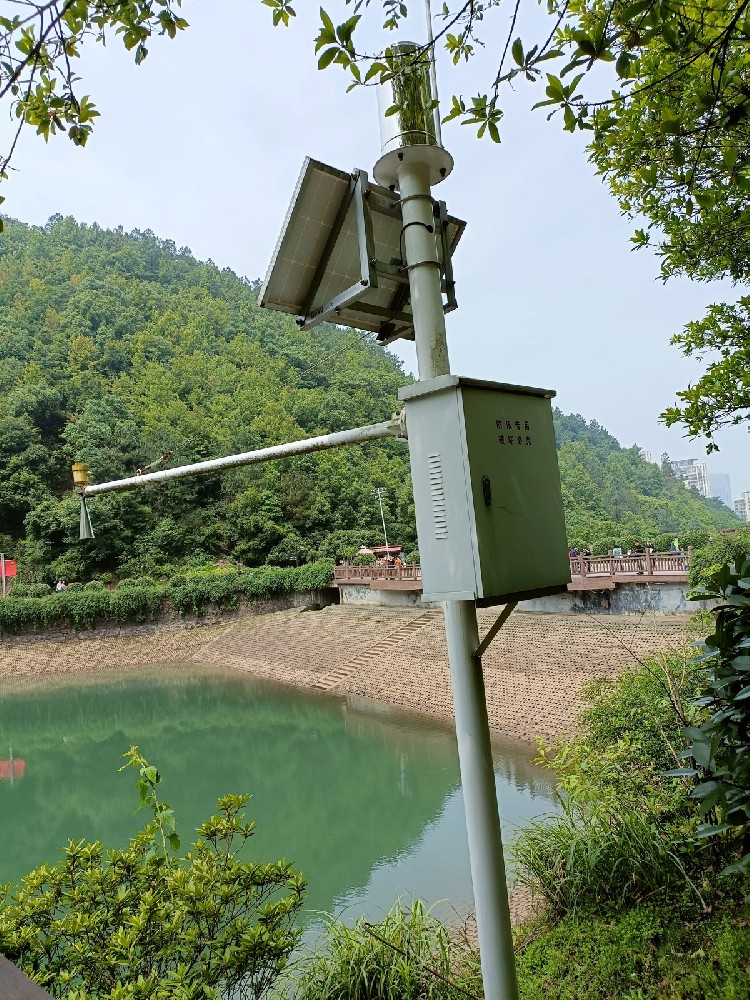
Hydrology examines where water occurs, how it moves and how its quantity and condition change. The USGS introduction to hydrology describes work ranging from streamflow and groundwater investigations to water-quality sampling and interpretation. That breadth explains why different classifications can be useful without any one four-part list describing the whole discipline.
One classification follows the water body: rivers, lakes, groundwater or glaciers. Another follows a process, such as precipitation, infiltration or evaporation. A third follows the problem, such as urban drainage or agricultural water use. These classifications overlap; they are not competing sets of instrument categories.
| Study area | Typical question | Measurement distinction |
|---|---|---|
| River hydrology | How does water move through a channel or catchment? | Water level is not discharge without an appropriate relationship or additional measurement |
| Lake hydrology | How do inflows, outflows and storage vary? | A local level record needs a reference and suitable geometry to support storage estimates |
| Groundwater hydrology | How do subsurface water levels and flows respond? | A well observation depends on its location, construction and measuring reference |
| Glacier hydrology | How are water storage and meltwater release related? | Snow depth alone does not determine ice storage, meltwater volume or runoff |
A river project may investigate flood response, irrigation supply, sediment movement or exchange with groundwater. The observations must match the question. A non-contact level sensor measures the water surface relative to its reference; a velocity instrument measures a different part of the flow problem.
To determine discharge, use a suitable method relating water movement to the wetted cross-section or an established stage-discharge relationship. A changing channel, backwater or reversing flow can affect that relationship. A rising level is useful information, but it cannot automatically be renamed an increase of a specified volume per second.
Rainfall records help describe the catchment input, while channel observations describe its response at particular locations. Putting both into a data logger makes them easier to compare; it does not remove their different spatial meaning or convert every rainfall event into an automatic flood forecast.
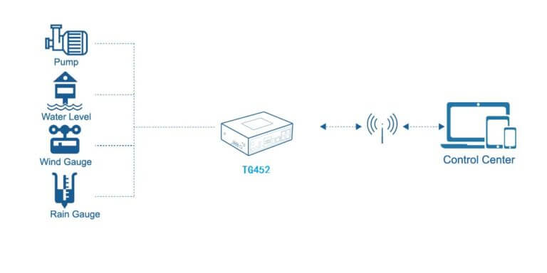
Lake and reservoir studies can examine seasonal water balance, changes in storage, inflow and outflow, evaporation and interactions with surrounding groundwater. A surface-level record is useful, but converting it to stored volume requires the relevant level-area or level-storage information.
Water quality adds another dimension. A level observation near a bank does not describe oxygen conditions at every depth, and a chemical sample from one location may not represent the whole lake. Select any depth profiles or additional sites from the study objective rather than assume a single mast covers all conditions.
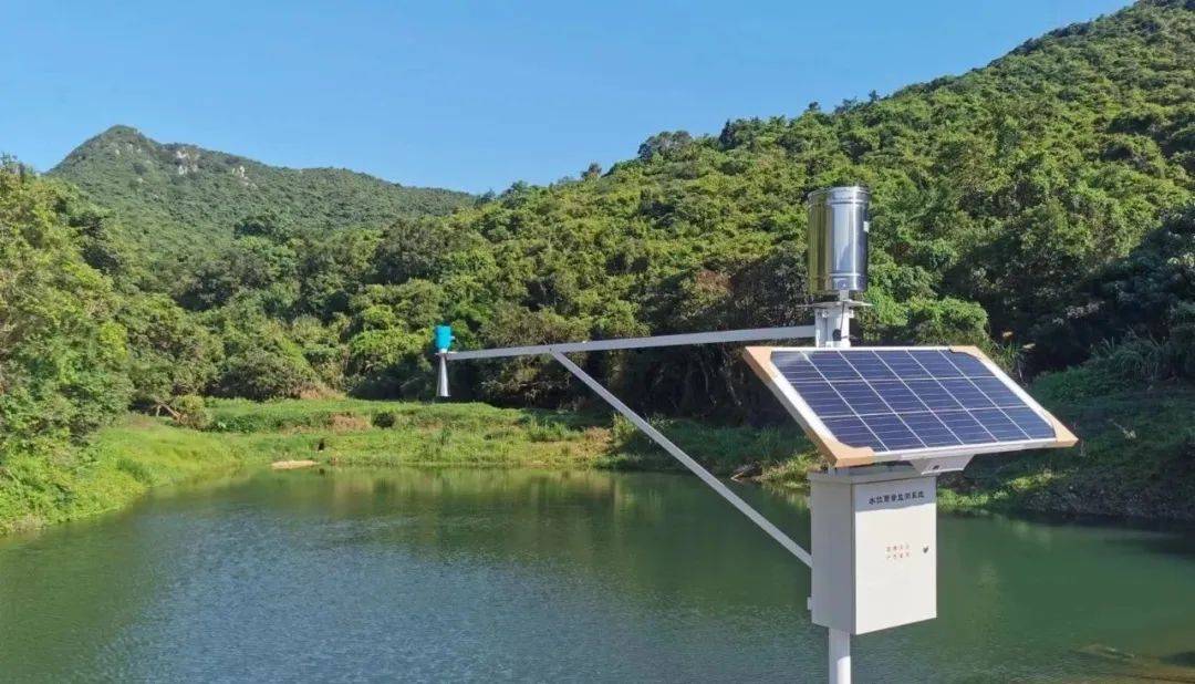
Groundwater investigations consider water stored and moving below the surface, including recharge, pumping response and interactions with streams. Measurements in a well must retain the well identity and the measuring point. Depth below a well reference and water elevation relative to a common datum answer different reporting questions.
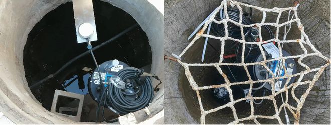
A pressure probe also needs a defined sensing elevation and pressure reference. An atmosphere-vented probe responds to liquid height above its diaphragm under suitable conditions; it is not automatically a complete aquifer interpretation. Well construction, screened interval, pumping and local geology influence what the observation represents.
When a monitoring chart changes, investigate the physical record before drawing a regional conclusion. Pumping, probe movement or a changed datum can produce a local change. A smooth graph is not evidence that those factors were absent.
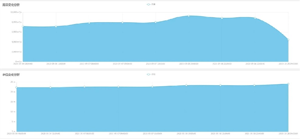
Glacier hydrology examines water storage and movement associated with glacier ice, snow and meltwater. Field studies may combine weather observations, snow or ice measurements and downstream flow records. The quantities remain distinct even when they appear on one research platform.
A snow-depth sensor measures thickness at a point. It does not directly establish snow water equivalent, glacier volume or the amount of water released downstream. Those questions need appropriate additional observations and analysis. Similarly, air temperature is a useful input but is not by itself a direct measurement of meltwater discharge.
Engineering hydrology applies observations and calculations to infrastructure such as drainage works, reservoirs and bridges. Agricultural hydrology examines water supply, drainage, soil water and crop-related use. Urban hydrology considers rainfall-runoff response, conveyance and storage in developed areas. Environmental hydrology and ecohydrology examine water conditions and their relationships with pollutants, habitat or ecosystems.
Hydrometeorology links atmospheric conditions with hydrological processes. Rainfall, snow, evaporation and energy exchange can be relevant to river, lake or glacier work. It is therefore useful as a cross-cutting field, not a reason to insist that every hydrological project needs the same weather-station package.
For equipment selection, state the required quantity, site, reference and time coverage. Then decide whether a rain gauge, water-level instrument, flow instrument, soil probe or water-quality method is needed. Include suitable access and checks for the actual environment. The branch name provides context; it does not define range, accuracy or installation geometry.
NiuBoL provides field sensing and acquisition options for these observation tasks. For example, the NBL-L-WLPS water-level transmitter measures hydrostatic level under an appropriate pressure reference, and a compatible data logger can collect specified sensor channels. Neither device replaces catchment analysis, aquifer interpretation or a glacier water-balance study.
Where RS485 Modbus RTU instruments are selected, check the actual registers, units and reference information at the receiver. Keep level, velocity, discharge and stored volume as separately defined quantities. A shared communications network makes observations accessible, not physically interchangeable.
No. Classifications vary with water body, process and application. The four areas discussed here are a useful introduction, not a universal exhaustive taxonomy.
No. Level describes the water surface relative to a reference. Discharge requires an appropriate measurement or relationship incorporating the hydraulic conditions. A level-only channel does not directly provide flow volume per unit time.
No. It supplies a local observation in a particular well or installation. Interpretation depends on well construction, reference, pumping and the surrounding hydrogeological conditions.
No. Snow thickness, water equivalent, ice storage and meltwater discharge are different quantities. A study needs the additional observations and analysis appropriate to its water-balance question.
Specify the physical quantities, locations, references, expected ranges and observation periods. Select methods and interfaces from that plan rather than from the name of a hydrology branch.
Types of hydrology describe overlapping ways to study water, not a fixed list of equipment packages. Rivers, lakes, groundwater and glaciers pose different measurement questions. Identify those questions and retain the correct physical quantities before choosing field sensors or connecting their data.
Prev:EC sensor for soil
Next:Water Monitoring Program Design: Baseline, Operations or Event Investigation?
Related recommendations
Sensors & Weather Stations Catalog
 Agriculture Sensors and Weather Stations Catalog-NiuBoL.pdf
Weather Stations Catalog-NiuBoL.pdf
Agriculture Sensors Catalog-NiuBoL.pdf
Water Quality Sensor Catalog-NiuBoL.pdf
Related products
 Combined air temperature and relative humidity sensor
 TDR Soil Moisture & Temperature Sensor for irrigation| RS485 |4-20mA| NBL-S-THR
 Soil pH sensor RS485 soil Testing instrument soil ph meter for agriculture |NBL-S-PH
 Wind Speed sensor Output Modbus/RS485/Analog/0-5V/4-20mA
 Tipping bucket rain gauge for weather monitoring auto rainfall sensor RS485/Outdoor/stainless steel
 Pyranometer Solar Radiation Sensor 4-20mA/RS485


Screenshot, WhatsApp to identify the QR code
WhatsApp number:+8615367865107
(Click on WhatsApp to copy and add friends)

