

— Blogs —
—Products—
 Consumer hotline +8618073152920
WhatsApp:+8615367865107
Address:Room 102, District D, Houhu Industrial Park, Yuelu District, Changsha City, Hunan Province, China
Product knowledge
Time:2026-09-11 17:00:00 Popularity:198
Quick Answer: An automatic ecological weather system should preserve a comparable record as the site and instruments change. Define whether it measures an open-site background or a specific ecosystem microclimate, keep sensor position and processing rules documented, and record every replacement or relocation. A continuous upload is not enough if the meaning of the measurement changes unnoticed.
A forest understory, wetland margin and open clearing can experience different air movement, shading and humidity. The correct position depends on the research question. An understory station is not badly sited merely because trees affect it when the objective is understory conditions; it is unsuitable if its record is presented as unobstructed regional background weather.
Define the site class and intended comparison before installing the mast. Where a project studies change between habitats, pair locations according to the study design rather than moving one station between them and treating the record as continuous. Preserve the original site identity even when the display groups several locations into one project.
Long-term observations need information about instruments, exposure and changes. WMO station-recognition criteria emphasize station history and the effects of relocation or measurement changes. These principles are relevant to planning continuity; installing a new station does not confer WMO recognition.
An integrated weather instrument can reduce mounting and cabling, but it also places several channels at one location. That may suit a compact background station while being less suitable where wind, understory humidity and soil conditions require different positions. Select the physical layout before deciding whether one integrated head should supply every atmospheric channel.
The compact instrument below is an example of an integrated assembly. Its parameter count does not establish how it samples each variable or whether all channels meet the study's spatial requirements. Ask for the channel list, acquisition behavior and replaceable components before specifying a long-term deployment.
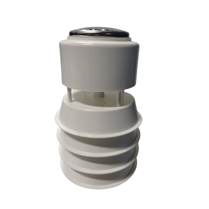
The NiuBoL NBL-W-LBTH can provide air temperature, relative humidity and atmospheric pressure as one component. Its louvered shield reduces direct solar exposure of the sensing elements while allowing ambient airflow. It does not make nearby pavement, an exhaust outlet or dense shelter irrelevant to the result.
| Measurement or interface | NBL-W-LBTH value |
|---|---|
| Air temperature | -40 to 80 deg C; accuracy +/-0.5 deg C; resolution 0.1 deg C |
| Relative humidity | 0-100% RH; accuracy +/-5% RH; resolution 0.1% RH |
| Atmospheric pressure | 10-1200 hPa; accuracy +/-1.5 hPa; resolution 0.1 hPa |
| Supply and output | 12-24 V DC; RS485 Modbus RTU or an ordered 4-20 mA version |
| Operating environment | -40 to 80 deg C; relative humidity 0-100% |
| Installation details to confirm | Maximum current, cable length and jacket, exposed connections and applicable ingress rating for the ordered assembly |
Other instruments need their own uncertainty and exposure assessment. Rainfall, solar radiation, soil temperature and wind cannot inherit the temperature sensor's accuracy statement. Preserve the pressure reference as measured station pressure unless a documented calculation produces a different quantity; do not silently replace it with sea-level pressure.
Specify the interval at which the instrument is sampled and the interval at which a result is stored. A one-minute mean, an instantaneous reading once per minute and a maximum during that minute are different records. Upload frequency is a fourth setting and should not overwrite any of those meanings.
Use parameter-appropriate processing. Averaging wind directions of 359 and 1 degree arithmetically gives 180 degrees, although both point close to north. A suitable directional or vector method is needed, with calm-wind treatment defined. Rainfall increments are accumulated; they are not averaged in the same manner as temperature.
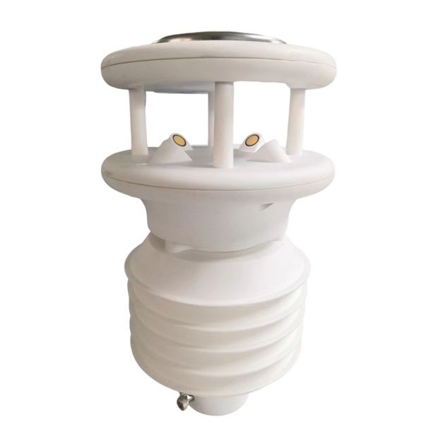
A multi-parameter assembly such as the one below may apply internal calculations before the logger reads it. Identify which outputs are raw observations, internal averages or derived values. Keep firmware and configuration versions with the record so a later change can be interpreted.
Suppose a daily series expects 1440 one-minute observations and contains 1386 valid observations. Coverage is 96.25%, with 54 minutes missing. The missing times matter: a gap during midday heating can bias a daily mean differently from a gap at night. Do not judge completeness from a percentage alone.
Define coverage rules for each reported result and keep valid counts with aggregates. Missing rain cannot be treated as zero rainfall, and a missing wind interval cannot become calm. If a project estimates values across gaps, label the method and keep estimated data distinguishable from measured data.
Store observations locally through communication outages where the logger supports it. On reconnection, transmit original timestamps and prevent duplicate inserts. Keep clock adjustments recorded; a time shift can break comparisons between rain events, radiation and soil responses without visibly changing the individual values.
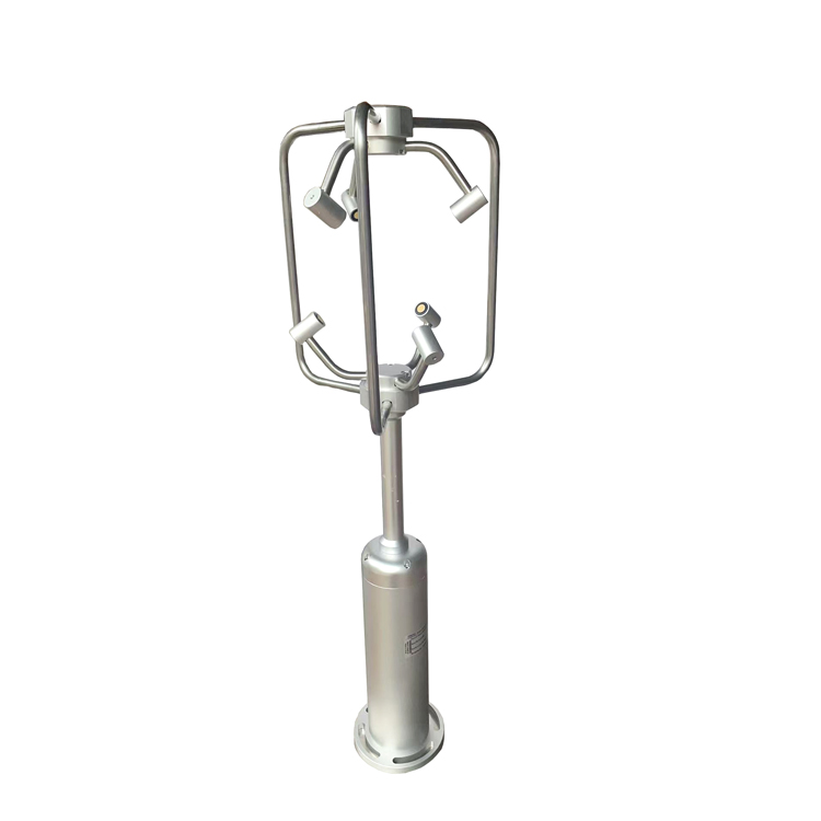
A three-axis ultrasonic wind instrument can describe local horizontal and vertical airflow when correctly oriented. Record its coordinate frame, mounting direction and surrounding obstacles. Its axes should not be relabeled when a mast is rotated without a corresponding configuration change.
Measuring three wind components does not by itself qualify a station for eddy-covariance or gas-flux work. Those methods require appropriate sampling performance, synchronization, companion measurements and processing. Confirm that complete measurement chain rather than inferring a research capability from the instrument's shape.
Photograph the site from repeatable directions and note changes in canopy, crop height, nearby construction and surface cover. Record shading or shelter that develops around a sensor. Distinguish an intended ecosystem change, such as canopy development in a study, from an unintended obstruction that changes a background station's exposure.
Before replacing an instrument, keep its serial number, calibration history, mounting and processing settings. If continuity matters, plan an appropriate overlapping comparison under representative conditions where feasible. There is no universal overlap period that proves equivalence under all seasons.
Retain the old observations as recorded. Any later correction or homogenization needs a documented method and version, not an unrecorded bulk offset. A new instrument reading differently can indicate response or exposure differences rather than a constant error suitable for one adjustment.
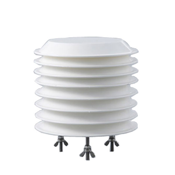
The louvered assembly below needs periodic inspection of shield condition and airflow, with records before and after service. Cleaning a shield or changing its position can affect observations even when the digital connection is unchanged.
Test each channel's unit, timing, configuration and stored result. For the RS485 NBL-W-LBTH arrangement, communication uses 9600 bps, 8 data bits and no parity, with at least 1000 ms between communications; confirm the stop-bit setting and exact register conversions. Other instruments on the bus may have different acquisition requirements.
Then test a power interruption, an uplink outage and a sensor replacement. Verify which settings survive, how missing observations are flagged and whether recovered data keep their original time. A station that resumes uploading but changes its averaging interval has not restored the same record.
For remote sites, budget the actual logger, communications and sensor loads against the least favorable operating season. Include any selected heaters and maintenance access; a solar panel rated in watts does not establish winter autonomy. Request a configuration-specific energy calculation rather than one endurance claim for every ecological site.
It can, but record the relocation as a change of observation conditions. Preserve both locations and dates, and do not present the combined series as an unchanged fixed-site record without the appropriate analysis.
No. The study objective and variable determine exposure. Soil, canopy, open-air and wind observations can need different positions. An integrated assembly is suitable only when its shared mounting arrangement answers the intended questions.
Not by itself. Examine the timing and cause of gaps, the variable and the aggregation rule. Report valid counts and apply the project's criteria rather than assuming all missing minutes are interchangeable.
Yes, if the logical measurement remains the same and the replacement history is retained. Record model, serial number, calibration, position and processing changes with effective dates so earlier data remain traceable.
Provide the research variables, exposure objectives, logging rules and expected service access. Ask for separate scope for sensors, mast, power, logger, communications and continuity support during replacement. Channel count alone does not define the station.
No. Flux work needs a qualified complete system with the required fast measurements, synchronization and processing. A routine weather logger and a three-axis wind sensor are not automatically that system.
A useful ecological weather record keeps its physical and processing meaning over time. Select the NiuBoL components around the study's exposure requirements, preserve data-quality information and plan replacements before the first instrument fails. The result should be a documented long-term observation series, not simply an uninterrupted sequence of online numbers.
Prev:Automatic Weather Monitoring Station Installation Steps and Acceptance
Next:Automatic Water Surface Evaporation Station Installation Guide
Related recommendations
Sensors & Weather Stations Catalog
 Agriculture Sensors and Weather Stations Catalog-NiuBoL.pdf
Weather Stations Catalog-NiuBoL.pdf
Agriculture Sensors Catalog-NiuBoL.pdf
Water Quality Sensor Catalog-NiuBoL.pdf
Related products
Combined air temperature and relative humidity sensor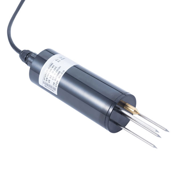 TDR Soil Moisture & Temperature Sensor for irrigation| RS485 |4-20mA| NBL-S-THR
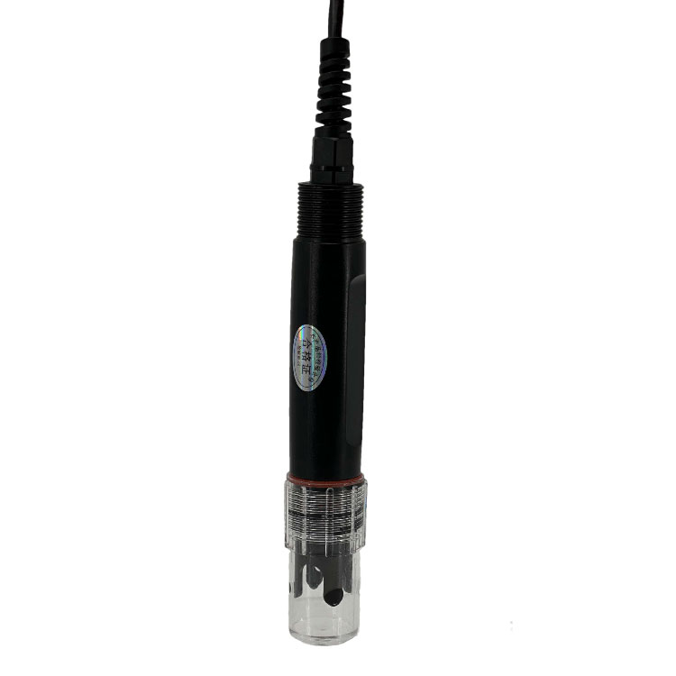 Soil pH sensor RS485 soil Testing instrument soil ph meter for agriculture |NBL-S-PH
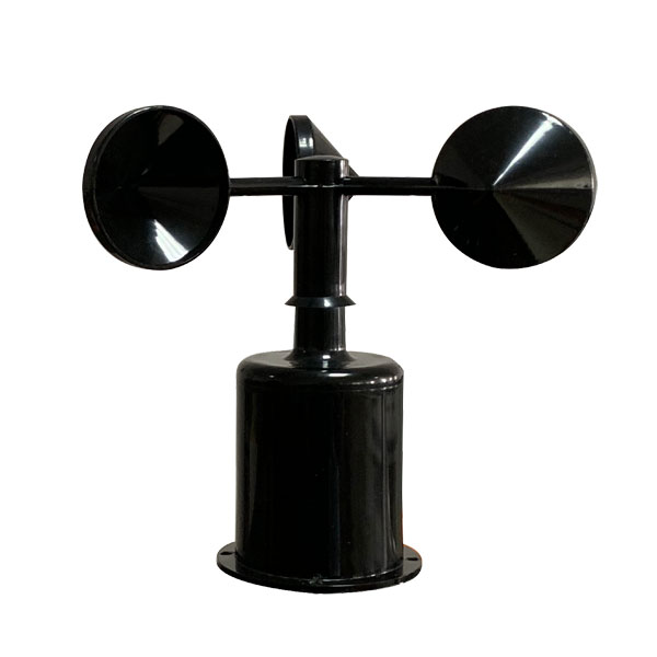 Wind Speed sensor Output Modbus/RS485/Analog/0-5V/4-20mA
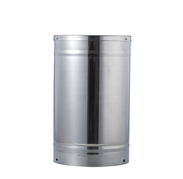 Tipping bucket rain gauge for weather monitoring auto rainfall sensor RS485/Outdoor/stainless steel
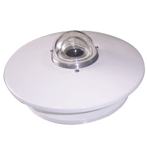 Pyranometer Solar Radiation Sensor 4-20mA/RS485

Screenshot, WhatsApp to identify the QR code
WhatsApp number:+8615367865107
(Click on WhatsApp to copy and add friends)