

— Blogs —
—Products—
 Consumer hotline +8618073152920
WhatsApp:+8615367865107
Address:Room 102, District D, Houhu Industrial Park, Yuelu District, Changsha City, Hunan Province, China
Product knowledge
Time:2026-03-08 15:34:28 Popularity:597
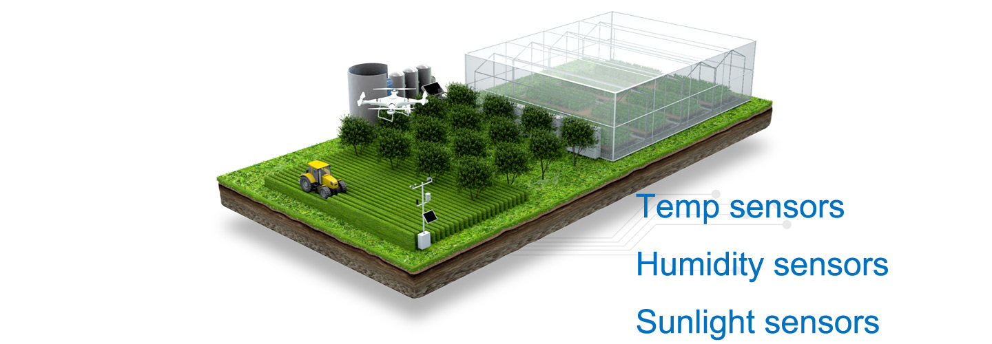
Agricultural four-conditions data integration connects soil moisture, insect activity, crop images and field weather in one monitoring system. Its value is not simply displaying four panels on one screen. The useful result is a field record that lets an agronomist compare observations from the same crop block and time period without confusing a trap count, an image classification and a measured physical quantity.

For a contractor, the first task is to divide the project into four services with separate acceptance criteria. A soil probe provides measurements around its installed depths. A weather station observes conditions at its exposure. A crop camera records a particular view. An insect monitoring device attracts and photographs a subset of insects. None represents an entire farm automatically.
| Observation | Useful output | What it cannot establish alone |
|---|---|---|
| Soil moisture | Depth-specific water-content and temperature history | Whole-field water demand from one installation |
| Insect activity | Time-bounded captures, photographs and reviewed identifications | Crop damage or a treatment threshold from raw counts |
| Crop condition | Repeat photographs of a mapped crop area | A disease diagnosis hidden below the canopy |
| Field weather | Temperature, humidity, rainfall, wind and selected radiation measurements | Future weather or a validated crop-risk model |
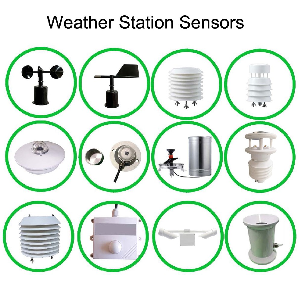
A light used to attract and kill insects and a device used to collect identifiable specimens have different purposes. If the specification asks for species counts, require a sample image, the counting interval and an explanation of how overlapping or damaged specimens are handled. A lamp operating successfully does not demonstrate that a usable monitoring record has been produced.
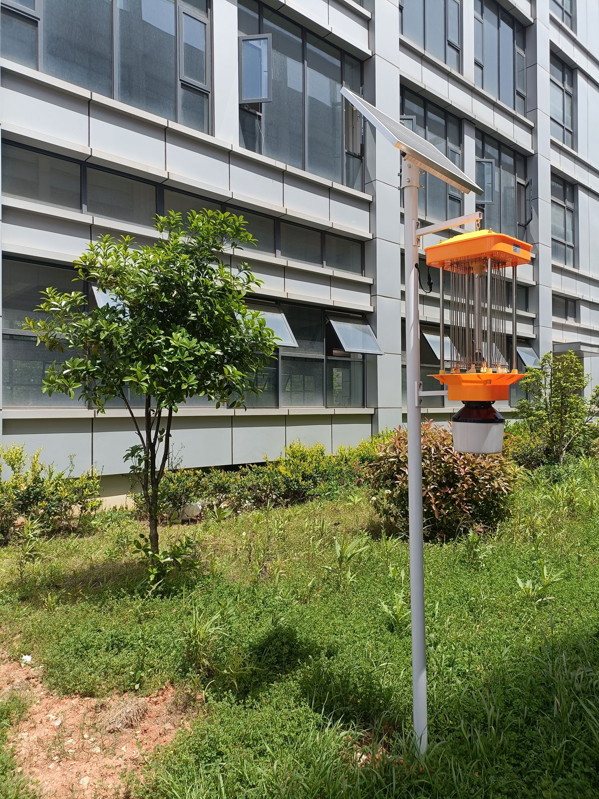
The NiuBoL frequency-vibration solar insect trap uses light attraction and an electric grid. Treat it as a pest-control component unless the ordered assembly includes a separately specified counting service. Its installation density should follow the target pest and site assessment, not a universal acreage claim applied to every crop.
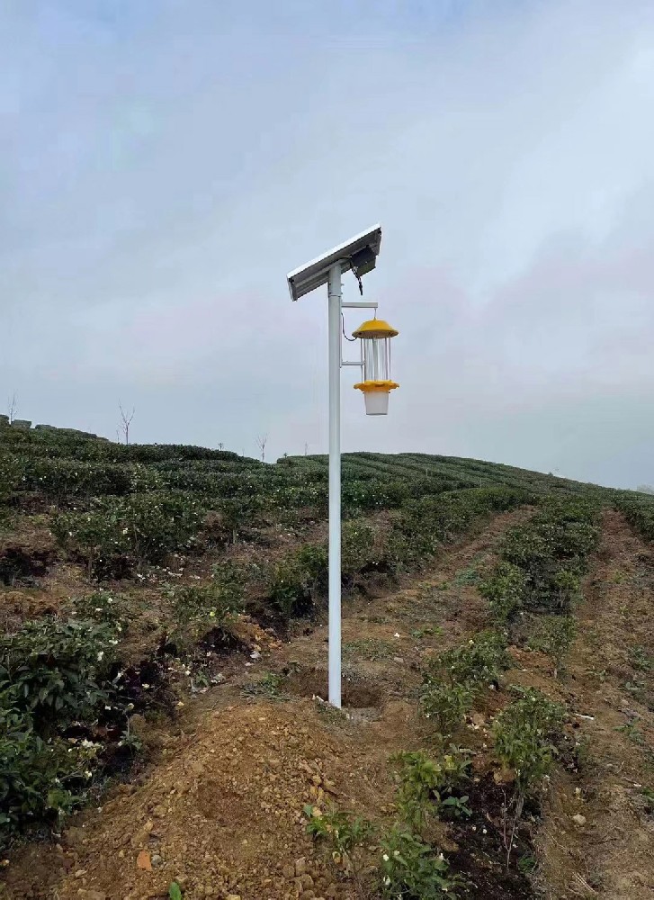
Trap location also changes what is caught. A field-edge installation near trees may sample a different insect population from one inside a crop block. Record nearby lighting, crop changes and periods when the trap is disabled. A zero count during a power interruption must not enter the same daily series as a zero count from a complete operating night.
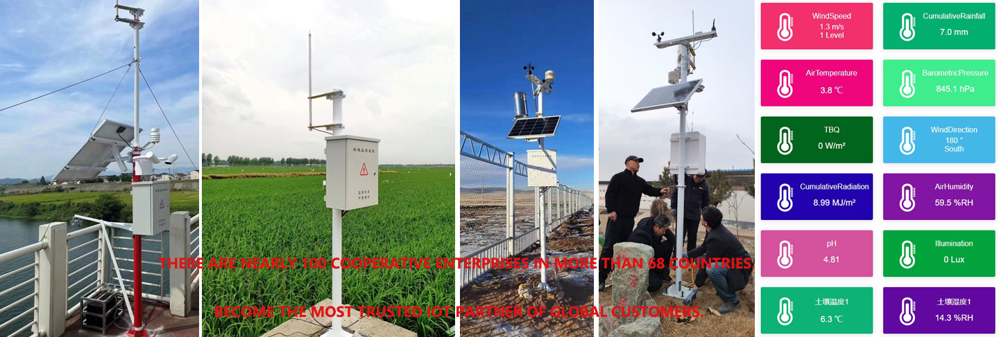
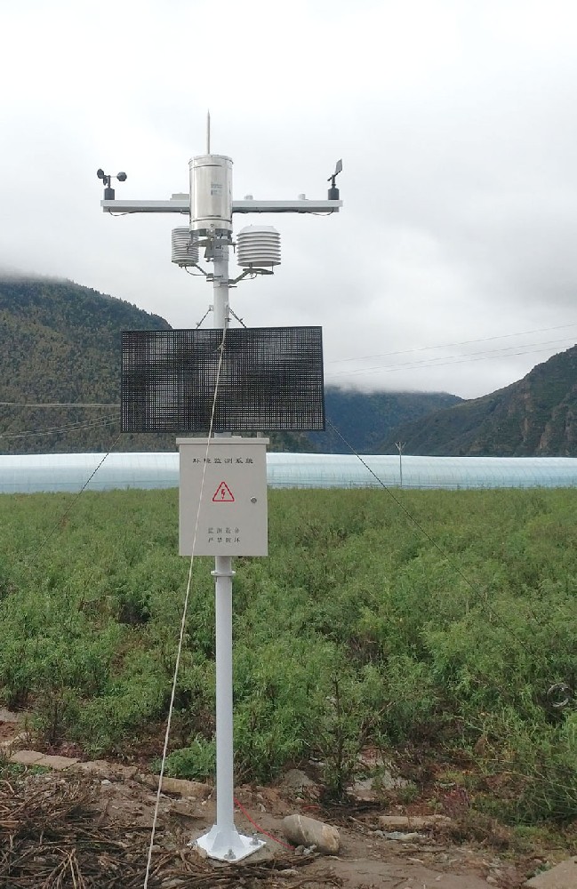
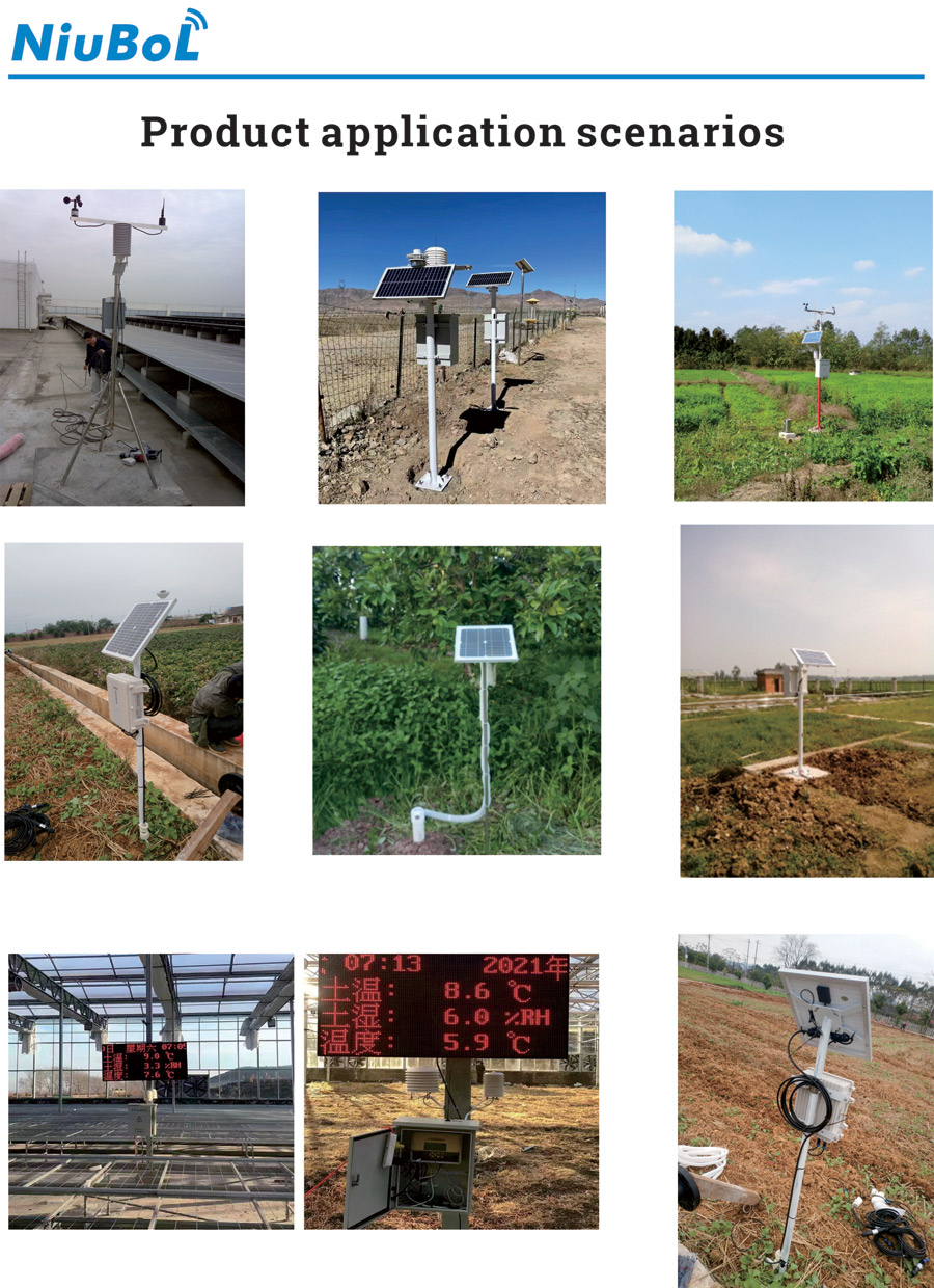
For repeated surveys, keep the attraction method and operating schedule consistent. When either changes, mark the change in the history rather than interpreting the resulting jump as a population increase. The photographs here illustrate different field equipment arrangements; they do not establish equivalent counting performance between those arrangements.
The NBL-IoT-SRPMS remote insect monitoring device combines specimen processing with a 12-megapixel industrial camera and 4G/Ethernet communication. These hardware functions are distinct from the recognition service, species library and review process. Purchase them as explicitly defined functions rather than assuming that every image will produce a reliable species count.
Before accepting classification results, ask the supplier to demonstrate representative local specimens, including non-target insects and partially obscured bodies. Keep original images linked to the reported counts. An operator should be able to correct an identification without losing the original result or confusing an updated count with a second observation.

A four-conditions platform needs more than a device name. Each record should carry a station identifier, crop-block identifier, observation time, units or image reference, and a quality status. Reception time is useful for communications diagnosis, but it should not replace the time at which the sample or photograph was taken.
For example, a nightly trap total ending at 06:00 cannot be meaningfully compared with an arbitrary single weather value received at 06:00. Associate it with weather over the relevant trapping period. Similarly, a crop photograph from yesterday must not appear beside today's soil profile without its date being visible. These are integration requirements, not automatic properties of a dashboard.
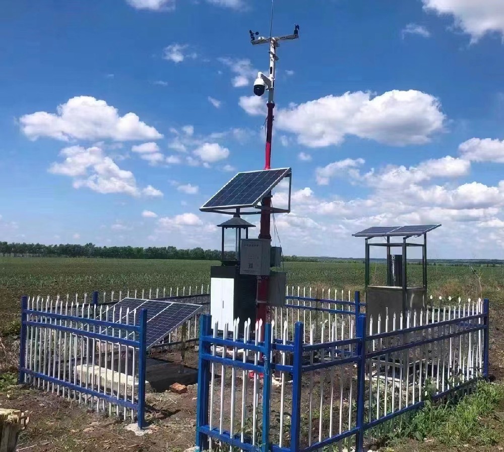
RS485 Modbus RTU is appropriate for many field sensor measurements. The integrator still needs the register map, scaling, byte order, device address and error behavior. A serial link that returns moisture and temperature registers should not be assumed to transport full camera images. Obtain a separate interface description for image retrieval, authentication, file retention and network access.
Size the communications service using both streams. As an illustrative calculation, four cameras sending one 2 MB photograph every hour generate 192 MB per day before overhead. This is not a NiuBoL image-size specification; it shows why image compression, upload schedules and retention can dominate a project whose sensor records consume relatively little data.
| Component example | Technical basis | Integration consequence |
|---|---|---|
| NBL-S-TMSMS profile sensor | FDR; standard 10/20/30/40 cm positions; RS485 Modbus; adapter option 12-24 VDC | Order the required physical depths before installation |
| NBL-W-LBTH atmospheric sensor | -40 to 80 C; +/-0.5 C; 0-100% RH, +/-5% RH; 10-1200 hPa, +/-1.5 hPa | Use actual sensor uncertainty when setting weather rules |
| NBL-IoT-SRPMS monitoring device | Industrial image capture; 4G/Ethernet; serial expansion | Check which data and commands are exposed by each interface |
| Crop camera and recorder | Lens, image dimensions, storage and supply depend on selection | Define field of view and image access in the camera schedule |
A common solar panel does not make all four services equally sustainable overnight. Insect processing, lighting and image uploads can create loads unlike those of a sleeping soil probe. Request a load schedule for each service, including operating hours and startup demand, and a power design for the site's low-sun period. Do not transfer one module's ingress rating to the entire assembly.
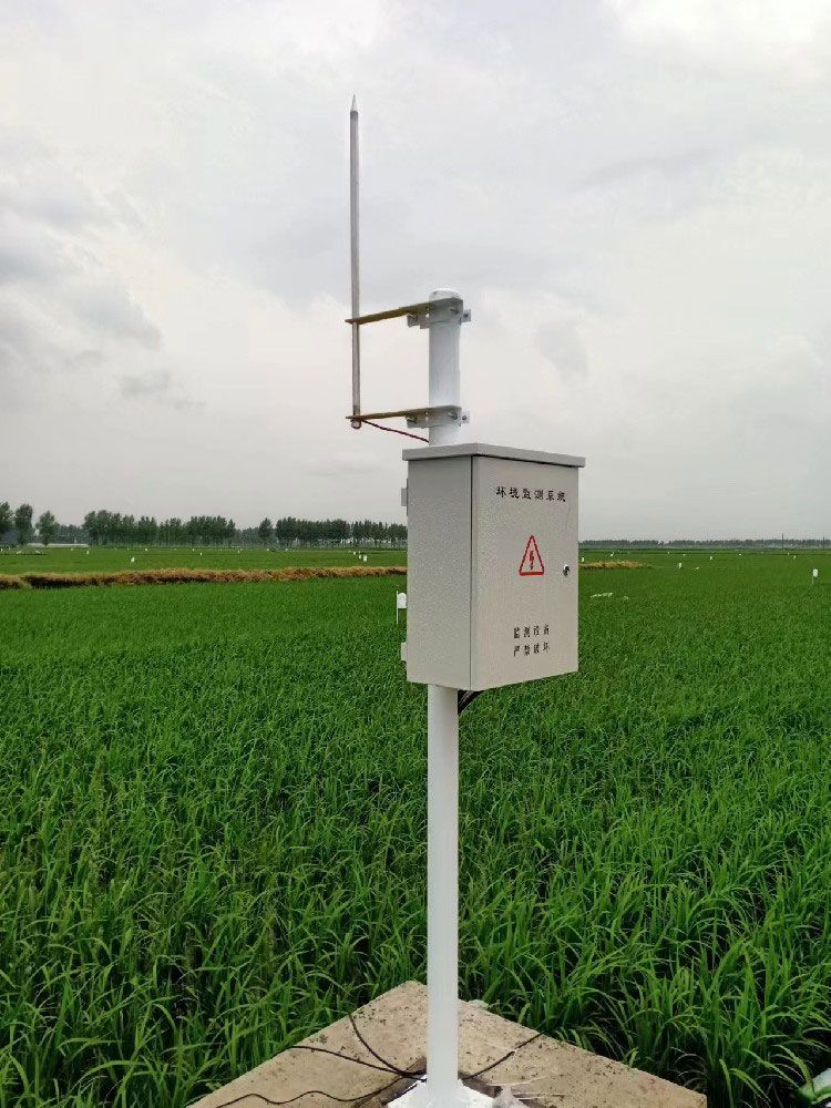
The soil location should represent the irrigation zone and soil being managed. Weather exposure should suit the intended meteorological measurement. The crop camera needs a stable view with enough detail to answer the inspection question. The insect device needs access for specimen handling and cleaning. Putting everything on one pole may simplify construction while compromising one or more observations.
For a grain project, prioritize repeatable crop-block and trap-period records. For an orchard, separate canopy images from open-site weather and note the relevant variety. In a greenhouse, assess whether the selected insect attraction method fits the target species and enclosed environment. A project requiring only irrigation management may not need a full insect imaging subsystem at all.
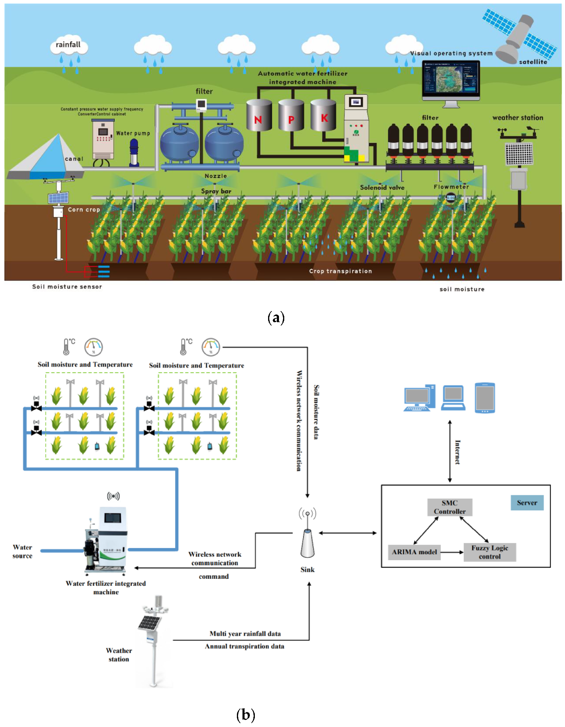
Run a field demonstration that follows one soil record, one weather interval, one crop photograph and one reviewed insect image from acquisition to export. Check identifiers and timestamps after reconnecting a network link. Test whether a corrected identification remains traceable and whether a missing image is visibly different from a confirmed absence of insects.
For a comparable quotation, send NiuBoL the crop and target pests, number of management blocks, required observation services, camera views, existing platform interfaces and site power availability. Separate equipment costs from recognition service, data hosting, communications and field maintenance. A lower equipment total may omit the image-review function that the project actually needs.
No. Use the management task to define the scope. A soil and weather phase can be useful before adding crop images and insect monitoring, provided identifiers and interfaces allow those services to be added later without replacing historical records.
Not by itself. Consider species, trapping effort, crop stage, field scouting and the locally applicable intervention threshold. A trap samples attracted insects, not crop damage directly. Identification review is especially important when non-target species resemble the pest of interest.
Do not assume that it can. Modbus registers can expose numerical readings or status information; photographs and video need an explicitly supported transport and access method. Test both routes with the receiving platform before ordering a full deployment.
Use images from the intended mounting position and representative lighting. Confirm that the view resolves the feature being assessed, that observation times are retained and that authorized staff can retrieve the original file. Camera pixel count alone is insufficient.
The number of observation locations, image services, specimen-handling equipment, power arrangement and integration work can change the total substantially. Request an itemized quotation rather than comparing a sensor-only price with a complete monitoring service.
Specify continued access to original images and a clear classification-pending status. Do not convert an unavailable classification into a zero count. Whether local acquisition continues during a service outage depends on the ordered recorder and storage configuration.
Agricultural four-conditions data integration is useful when its four observation services can be interpreted together without hiding their different sampling limits. NiuBoL equipment can form the field measurement and insect-monitoring parts of that system. Define the image workflow, crop-block records and interface responsibilities before choosing the final configuration.
 Frequency vibration solar insecticidal lamp User Manual.pdf
Wind-suction Solar Insect Trap Light User Manual.pdf
Intelligent Remote Insect Monitoring and Reporting System(Insect Monitoring Device) Data Sheet.pdf
Prev:Buoy Water Quality Monitoring Station: Measure Valid Data Coverage
Next:Agricultural Weather Station for Disaster Warning: Design the Alarm Response
Related recommendations
Sensors & Weather Stations Catalog
Agriculture Sensors and Weather Stations Catalog-NiuBoL.pdf
Weather Stations Catalog-NiuBoL.pdf
Agriculture Sensors Catalog-NiuBoL.pdf
Water Quality Sensor Catalog-NiuBoL.pdf
Related products
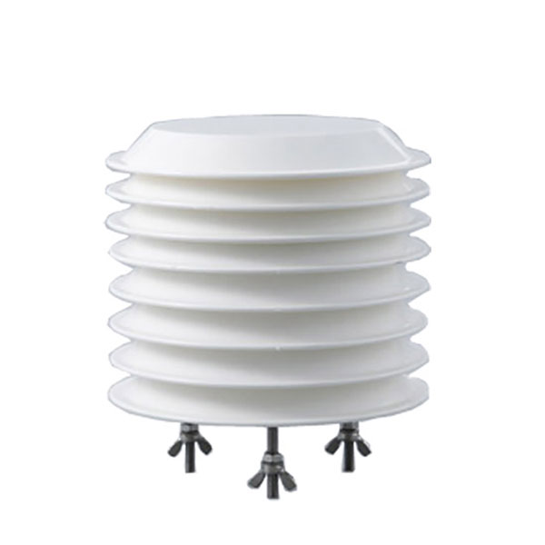 Combined air temperature and relative humidity sensor
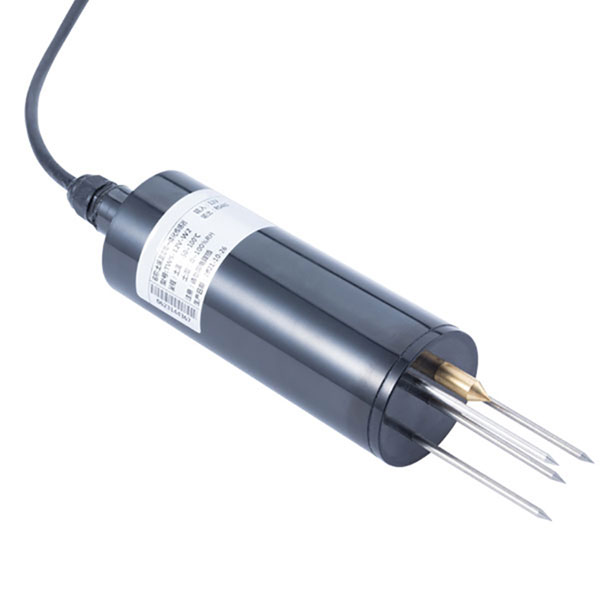 TDR Soil Moisture & Temperature Sensor for irrigation| RS485 |4-20mA| NBL-S-THR
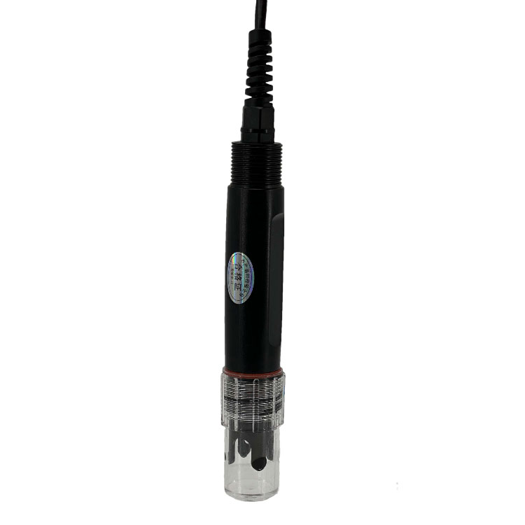 Soil pH sensor RS485 soil Testing instrument soil ph meter for agriculture |NBL-S-PH
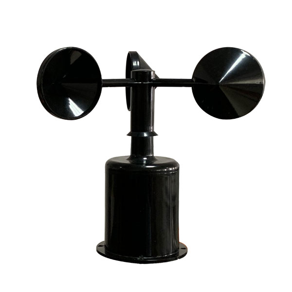 Wind Speed sensor Output Modbus/RS485/Analog/0-5V/4-20mA
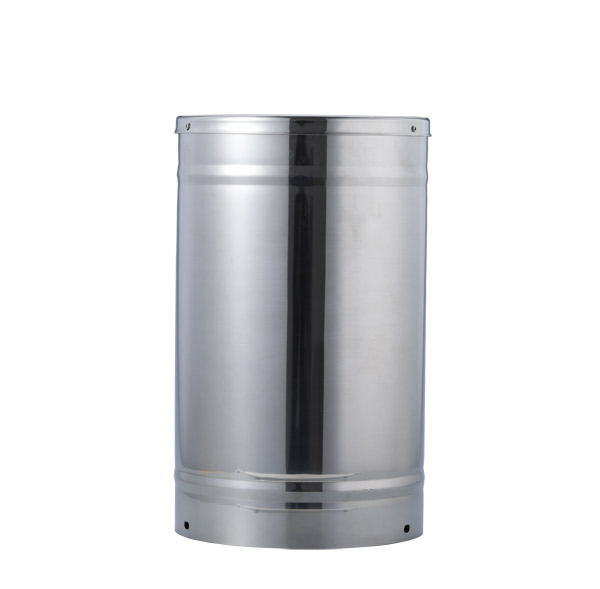 Tipping bucket rain gauge for weather monitoring auto rainfall sensor RS485/Outdoor/stainless steel
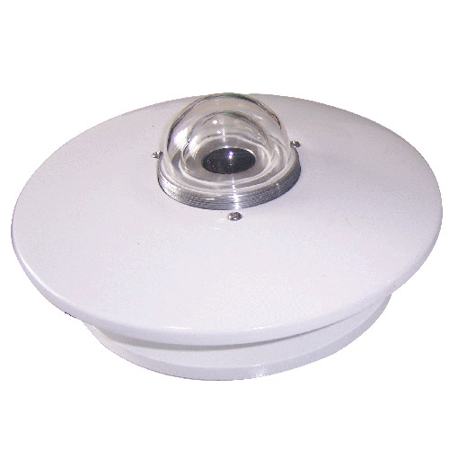 Pyranometer Solar Radiation Sensor 4-20mA/RS485

Screenshot, WhatsApp to identify the QR code
WhatsApp number:+8615367865107
(Click on WhatsApp to copy and add friends)