





— Blogs —
—Products—
 Consumer hotline +8618073152920
WhatsApp:+8615367865107
Address:Room 102, District D, Houhu Industrial Park, Yuelu District, Changsha City, Hunan Province, China
Product knowledge
Time:2025-01-22 11:36:38 Popularity:1721
A field weather station for machinery access can provide rainfall history and local environmental context, but it cannot certify that a field will support a particular machine. Soil-moisture observations add useful information at selected points. An access decision still needs the actual soil condition, route, equipment and responsible field assessment; neither a dry forecast nor a single sensor percentage is a trafficability test.
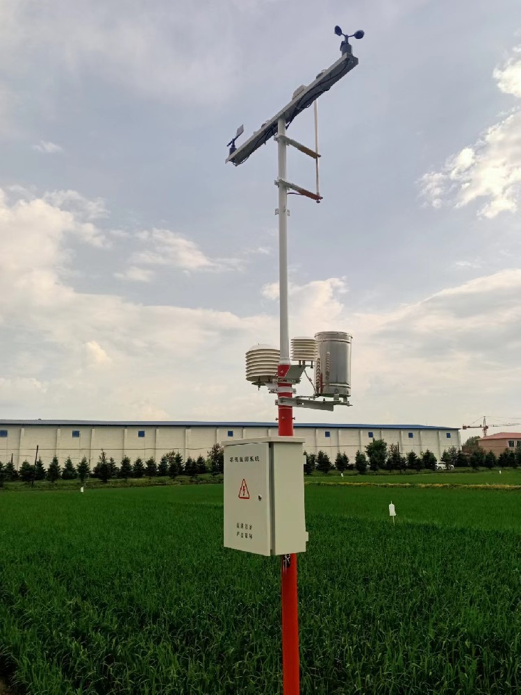
After rainfall, a contractor may need to decide whether cultivation, spraying or harvesting can proceed. The rain gauge answers how much precipitation was collected at its location. It does not measure drainage throughout the farm, wheel rutting or the strength of soil beneath an access lane. Two blocks with similar rainfall can have different field conditions.
Air temperature, humidity and wind can help interpret the recent weather, but they do not establish that a soil profile has dried sufficiently. A dry-looking surface can also differ from conditions below it. Keep those observations as context rather than using the weather station to issue an unsupported machine-entry approval.
| Observation | Useful contribution | Remaining field question |
|---|---|---|
| Recent rainfall and timing | Identifies wetting events and their sequence | Where did water accumulate, drain or remain in the profile? |
| Soil moisture at a known point and depth | Shows local wetting and drying trends | Does that location represent the intended route or work area? |
| Air conditions | Describes the surrounding weather | What condition is the soil actually in? |
| Field inspection and equipment information | Supports the responsible operational assessment | Is the proposed work appropriate under the site's conditions? |
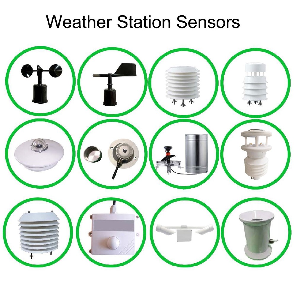
The NiuBoL NBL-S-TM measures soil temperature and volumetric moisture at its installed position. A probe near the weather mast may be useful for a crop record without representing a compacted field entrance, headland or low-lying route. Choose observation points according to the access question, not simply the shortest cable run.
Record depth, soil context and location for each probe. Do not treat one instrument as measuring several depths simultaneously. Where conditions vary, a project may need more observation points and field checks rather than a more detailed display of the same single point.
| Component | Relevant specification | Role in the access assessment |
|---|---|---|
| NBL-S-TM moisture | 0-100% volumetric moisture; 0.1% resolution; +/-5% specified accuracy | Local water-content observation, not bearing capacity |
| NBL-S-TM temperature | -40 to 80 C; +/-0.5 C | Soil thermal context at the measurement point |
| NBL-S-TM integration | RS485 Modbus RTU; IP68; standard 5 m cable | Suitable configured soil-data input for the acquisition system |
| NBL-W-RS | 0.2 mm resolution; liquid-rain operating temperature 0-50 C | Precipitation history, not an area-wide soil-condition measurement |
| NBL-W-LBTH | Air temperature -40 to 80 C, +/-0.5 C; RH 0-100%, +/-5% RH | Atmospheric context separate from soil observations |
Use the supply required by the delivered versions. The S-TM has DC 5-24 V configurations, with some versions specified for DC 12-24 V; the LBTH requires DC 12-24 V. A shared RS485 connection does not make every instrument electrically identical.
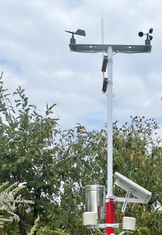
There is no universal volumetric-moisture percentage that authorizes every machine on every soil. Texture, structure, drainage, the condition below the surface and the equipment involved affect the assessment. A value useful for crop irrigation should not be copied automatically into a field-access rule.
Wet soil and heavy equipment are a recognized compaction concern. Use that relationship to plan observation and inspection, not to invent a sensor-only guarantee. Where a project requires soil-strength or trafficability evidence, specify the appropriate assessment separately from the weather station and moisture probes.
Show which station and soil point each value represents, together with observation time and data availability. An access planner needs the relevant block and recent history rather than an unlabeled farm-wide moisture average. A missing probe must remain unavailable, not become a reassuring zero-moisture value.
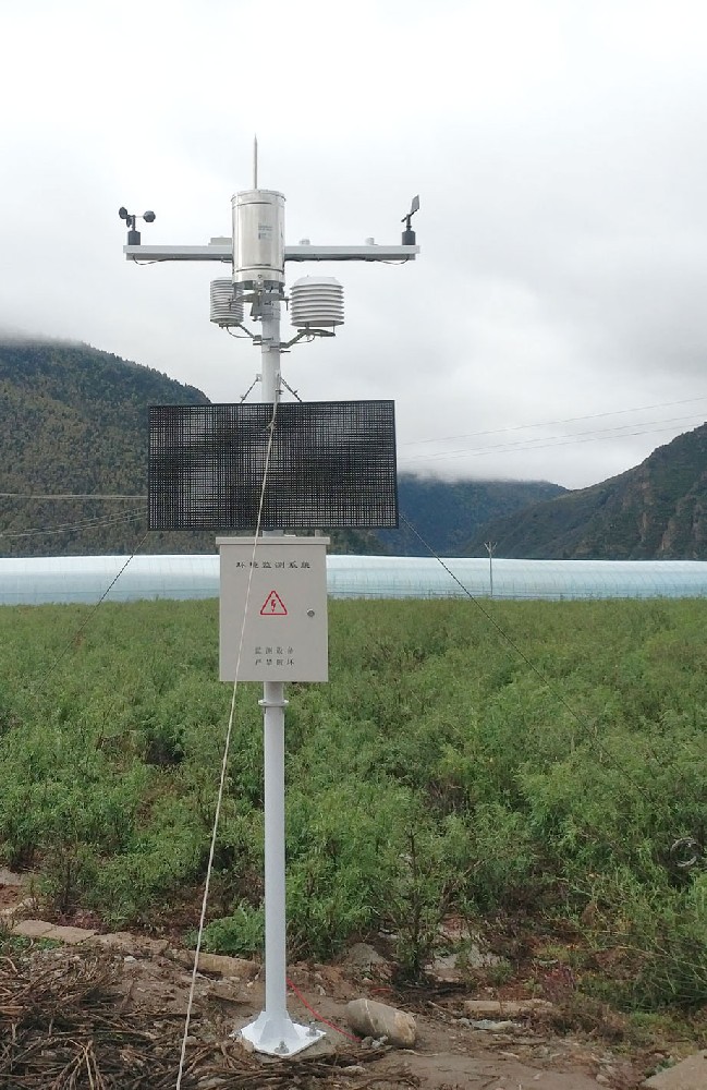
A TG462 / TG462S acquisition device can provide compatible sensor collection and networking. The receiving application still needs the agreed channel names, locations, units and update behavior. Automatic dispatch, route approval and machine control are not implied by the presence of a connected weather station.
No. Earlier rainfall, drainage and conditions below the surface still matter. Review local soil observations and the actual work area rather than using the current rain state as an entry rule.
No. It measures soil moisture and temperature. Bearing capacity and trafficability require an appropriate assessment of the ground and intended equipment, not a relabelled moisture percentage.
Only if its representativeness has been established for that purpose. A field entrance or headland can differ from the station plot. Select locations and depths around the actual decision.
No. Define any advisory rule using suitable local assessment and operating responsibilities. Keep the original moisture records so the rule can be reviewed without confusing an alert with a direct strength measurement.
Describe the blocks, intended operations, access routes, soil variability and existing scheduling system. Identify whether the requirement is environmental observation or an independently assessed access decision. NiuBoL can review the sensing and data-acquisition scope.
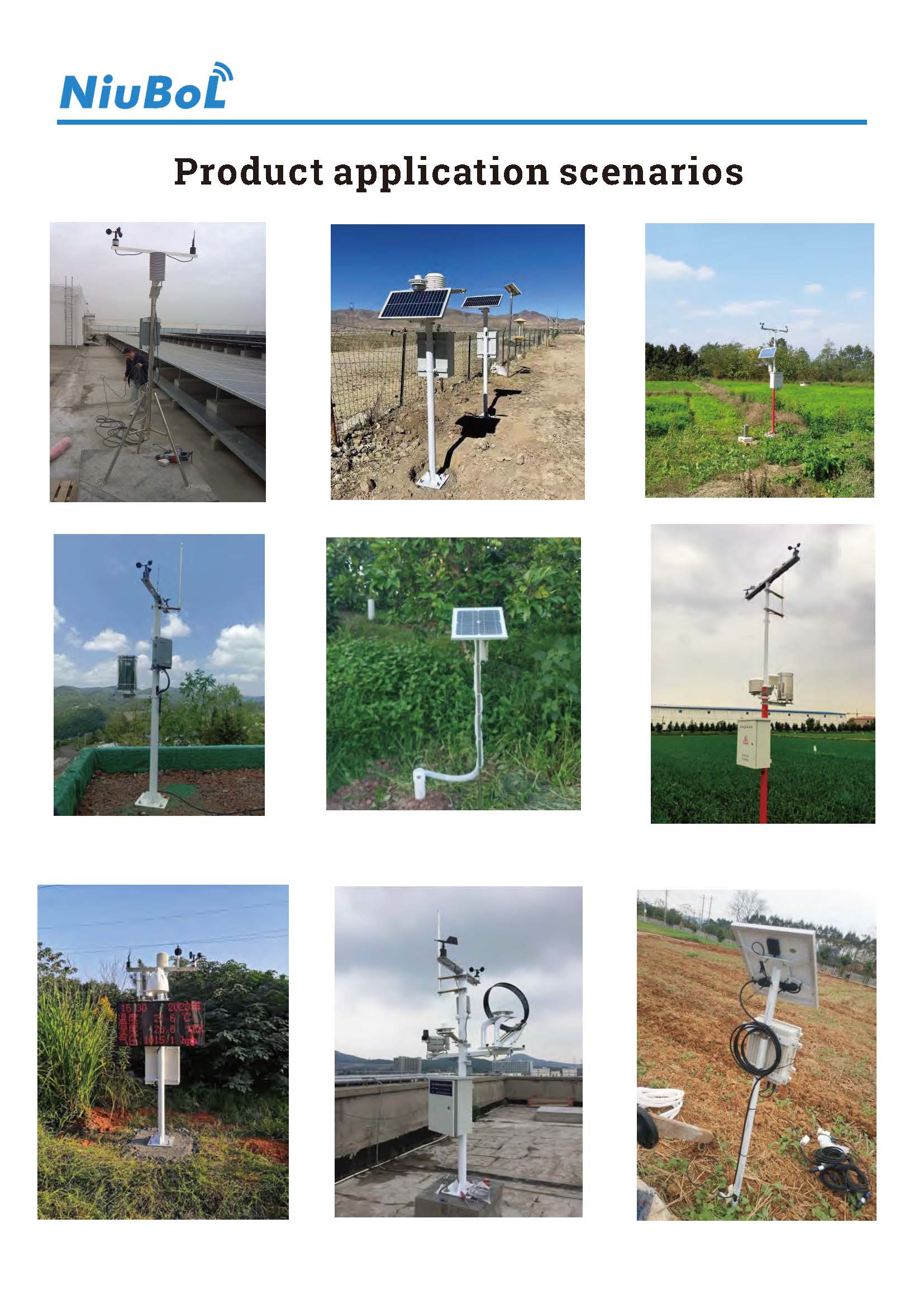
A field weather station for machinery access is an observation aid, not a ground-strength certificate. Combine relevant rainfall history with appropriately located soil measurements, preserve their meaning and retain the responsible field assessment. That gives contractors useful evidence without promising automatic access approval.
Prev:Rainfall Station Record Continuity: Gauge Changes, Gaps and Station History
Next:Industrial Evaporation Monitoring: Water-Pan Data or Process Loss?
Related recommendations
Sensors & Weather Stations Catalog
 Agriculture Sensors and Weather Stations Catalog-NiuBoL.pdf
Weather Stations Catalog-NiuBoL.pdf
Agriculture Sensors Catalog-NiuBoL.pdf
Water Quality Sensor Catalog-NiuBoL.pdf
Related products
 Combined air temperature and relative humidity sensor
 TDR Soil Moisture & Temperature Sensor for irrigation| RS485 |4-20mA| NBL-S-THR
 Soil pH sensor RS485 soil Testing instrument soil ph meter for agriculture |NBL-S-PH
 Wind Speed sensor Output Modbus/RS485/Analog/0-5V/4-20mA
 Tipping bucket rain gauge for weather monitoring auto rainfall sensor RS485/Outdoor/stainless steel
 Pyranometer Solar Radiation Sensor 4-20mA/RS485


Screenshot, WhatsApp to identify the QR code
WhatsApp number:+8615367865107
(Click on WhatsApp to copy and add friends)

