





— Blogs —
—Products—
 Consumer hotline +8618073152920
WhatsApp:+8615367865107
Address:Room 102, District D, Houhu Industrial Park, Yuelu District, Changsha City, Hunan Province, China
Product knowledge
Time:2024-12-04 15:06:37 Popularity:1755
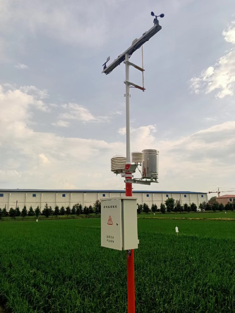
An outdoor weather station is a local observation system combining selected weather sensors, acquisition equipment, power and a data destination. Its installed channels determine what it measures. Temperature, humidity, pressure, wind and rainfall are common observations; soil, radiation, snow and air-quality measurements require their own instruments. Forecasts, flood predictions and crop advice need additional analysis and cannot be inferred from the station name.
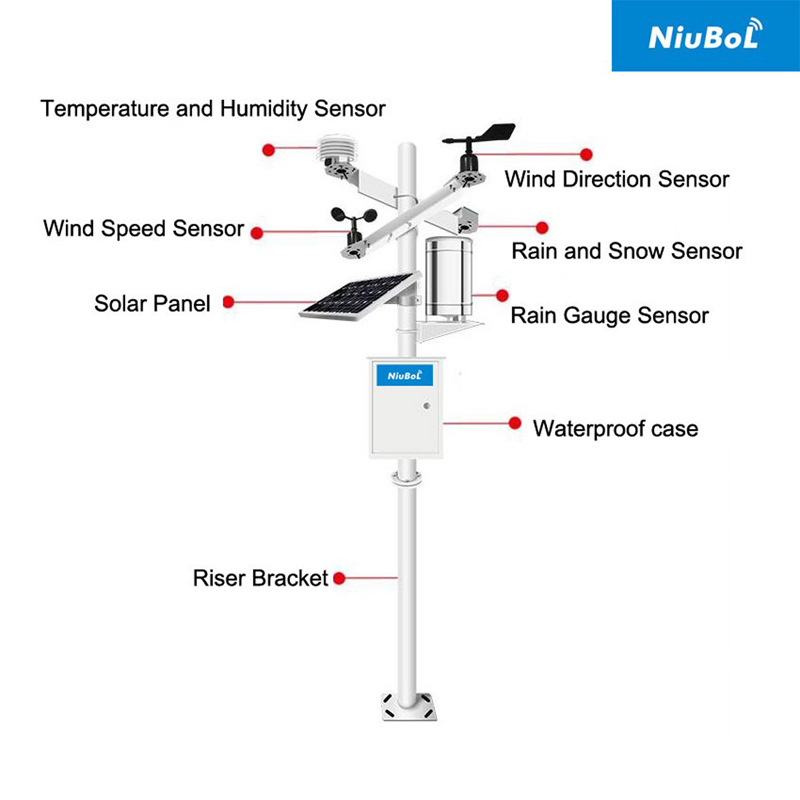
For an engineering project, define each observation and where it is needed. A station outside a greenhouse measures outdoor conditions, not the temperature at every crop bed. A station beside a reservoir supplies local weather observations, not reservoir level unless a separate level instrument is included.
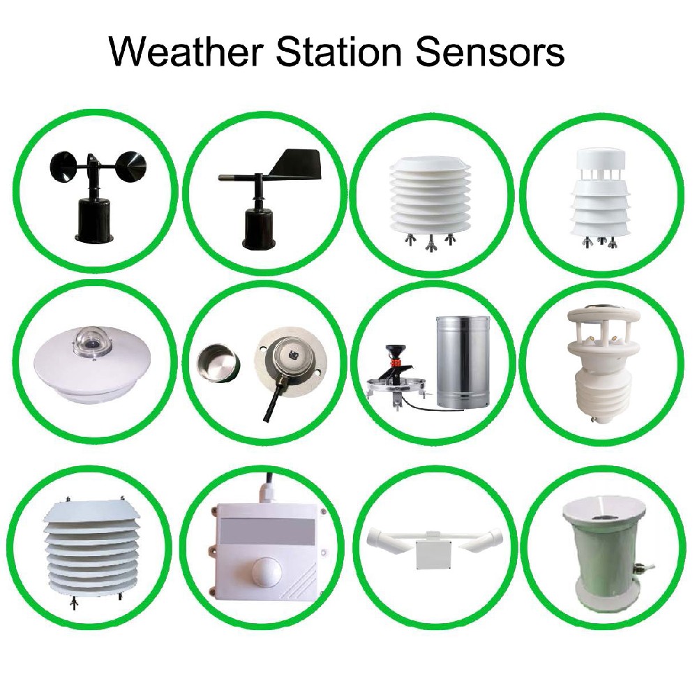
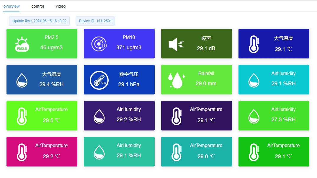
The equipment list should distinguish sensor models, electrical outputs, logger inputs, mounting, supply and reporting functions. A display showing twelve values may include derived or repeated quantities; it does not establish twelve independent instruments or twelve monitoring locations.
The NBL-W-LBTH combines three atmospheric measurements. Its stated temperature range is -40 to +80 C with +/-0.5 C accuracy; humidity is 0-100% RH with +/-5% RH accuracy; pressure is 10-1200 hPa with +/-1.5 hPa accuracy. Selected versions provide RS485 or 4-20 mA output.
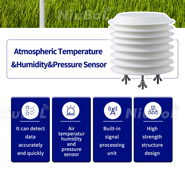
Three channels in one housing still represent the air at one position. Keep the radiation shield ventilated and away from local heat exhausts. Retain whether pressure is measured at the station or subsequently reduced to another reference; otherwise two valid pressure records can appear inconsistent.
The NBL-W-SS cup anemometer measures wind speed; the NBL-W-DS vane measures direction. Speed has selected 0-45 or 0-70 m/s ranges. Direction covers 0-360 degrees. These are separate selections even when supplied on the same crossarm.
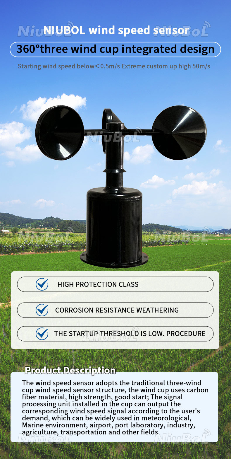
Specify IP65 for these wind sensors and match their ordered output and supply. Align the direction reference during installation, and record height and nearby obstructions. A gust, an average speed and a direction statistic require defined sampling and processing. A vane alone does not measure wind intensity, and an obstructed mast does not automatically represent the whole site.
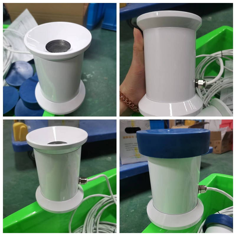
The NBL-W-RS tipping-bucket gauge resolves 0.2 mm in its standard configuration, with a 0-4 mm/min intensity range. Its +/-4% accuracy is stated for an indoor static test at 2 mm/min. Contact, voltage and RS485 versions require different acquisition arrangements.
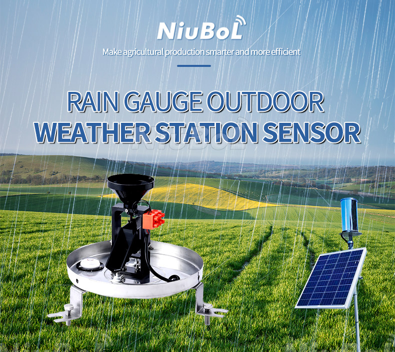
Keep the collector level, clear of blockage and positioned to limit splash and obstruction. The specified operating range is 0-50 C. Storage-temperature limits do not extend that operating range or establish performance with frozen precipitation. A rain/snow presence switch is a different device and does not replace quantitative rainfall.
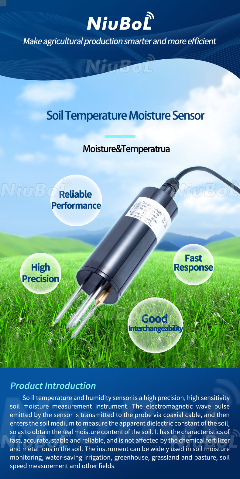
The NBL-S-THR measures soil moisture and temperature. Its buried position, depth and soil contact must be specified independently of the weather mast. One probe does not establish conditions in every irrigation zone, nor does it add EC, pH or nutrient measurements.
Snow depth requires a suitable distance instrument and a ground reference. Specify the target surface, mounting geometry and operating conditions separately. Snow depth, rain depth and liquid-equivalent precipitation answer different questions. A station may include one of them, several of them or none; their presence must be explicit in the equipment list.
The station's usable environmental range is constrained by every necessary component. Check the logger, battery, charger, connectors and rain instrument, not just the wind sensors. An immersion-rated soil probe does not make the cabinet submersible. A weatherproof cabinet also needs cable entries, condensation management and service access appropriate to its location.
| Example component | Relevant specification | System implication |
|---|---|---|
| NBL-W-SS / NBL-W-DS wind sensors | IP65; selected supply and output | Protect connections and verify the ordered interface separately. |
| NBL-W-RS rain gauge | 0-50 C operation; 0.2 mm resolution | Cold-season precipitation needs a suitable measuring arrangement. |
| NBL-S-THR soil probe | DC 12-24 V; about 0.3 W; IP68 | Provide buried measurement positions and power in addition to mast equipment. |
| TG462 / TG462S logger family | Three RS485 interfaces; two Ethernet ports; configured analog/digital inputs | Input conditioning, software and network configuration must match the sensor list. |
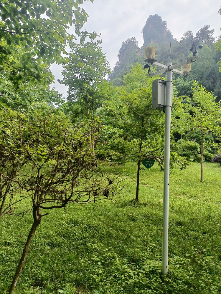
At a woodland site, a below-canopy observation describes the local habitat, while an open-exposure observation provides a different reference. Record which environment each instrument represents and whether the study compares locations. The same distinction applies near buildings and industrial structures.
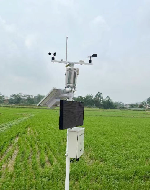
On a farm, place root-zone probes by soil and irrigation conditions, while selecting the weather observation point for the required exposure. Moving a soil probe nearer to a dripper changes the observation even if the logger address remains unchanged. Keep location, depth and installation changes with historical records.
Sensors provide physical measurements. The logger acquires and timestamps their outputs. A network carries records to a server or local receiver. The application displays, calculates or alerts on those records. A live screen confirms a data path only after the displayed quantities and timestamps have been checked against the connected instruments.
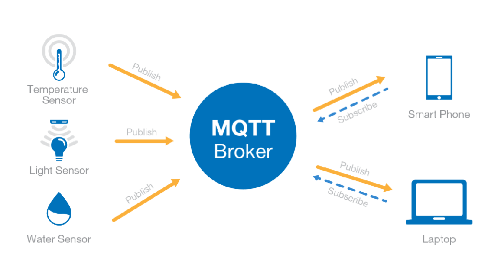
RS485 is a field electrical interface; Modbus RTU defines communication for compatible devices. Ethernet, cellular and optional Wi-Fi can provide an onward path, depending on the selected logger. MQTT supports application data exchange. None of these names alone guarantees the other layers, an internet connection or compatibility with an existing server.
Near water, rainfall and wind can help interpret changing conditions, but water temperature, dissolved oxygen and level still require suitable instruments. An outdoor weather station does not establish water quality from atmospheric data. Keep any water-monitoring channels distinct from the local weather record and check that their locations serve the intended operation.
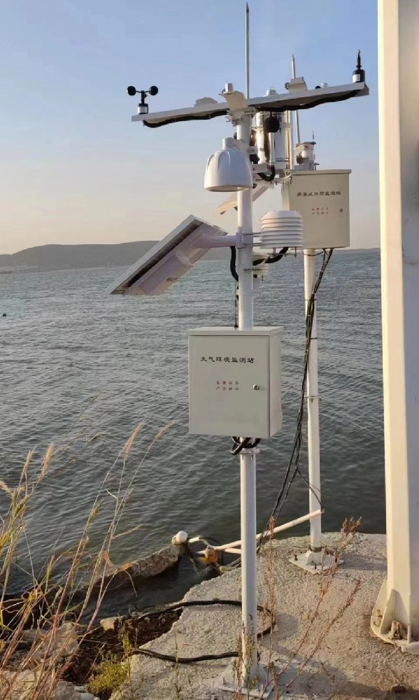
For energy projects, a solar radiation sensor measures irradiance on its installed plane. Horizontal and panel-plane measurements differ. The NBL-W-HPRS covers 0.3-3 micrometres and a 0-2000 W/m2 range, but mounting and accessories determine the particular radiation observation. It does not independently separate every direct, diffuse and reflected component.
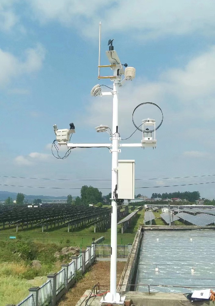
At industrial sites, wind observations can inform dispersion assessment or work planning. They do not themselves identify a pollutant, authorise a lifting operation or supply a certified safety interlock. Define any specialist instrument, threshold logic and operating procedure required for that duty instead of treating a weather display as the complete decision system.
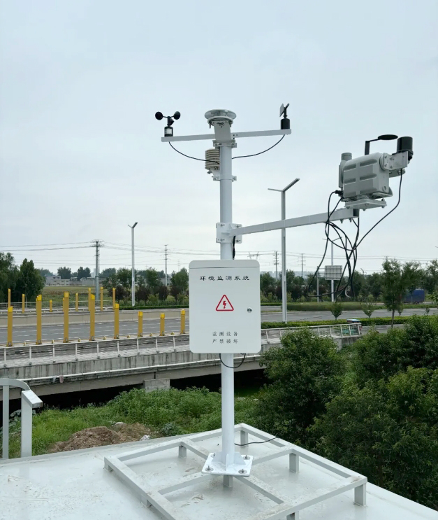
A local display, remote dashboard, alarm, export and forecasting service are different functions. Ask which are included, where they run and what happens without a network. Rainfall totals need an interval; wind records need an averaging basis; historical uploads need observation timestamps. Storage capacity alone does not establish automatic replay after an outage.
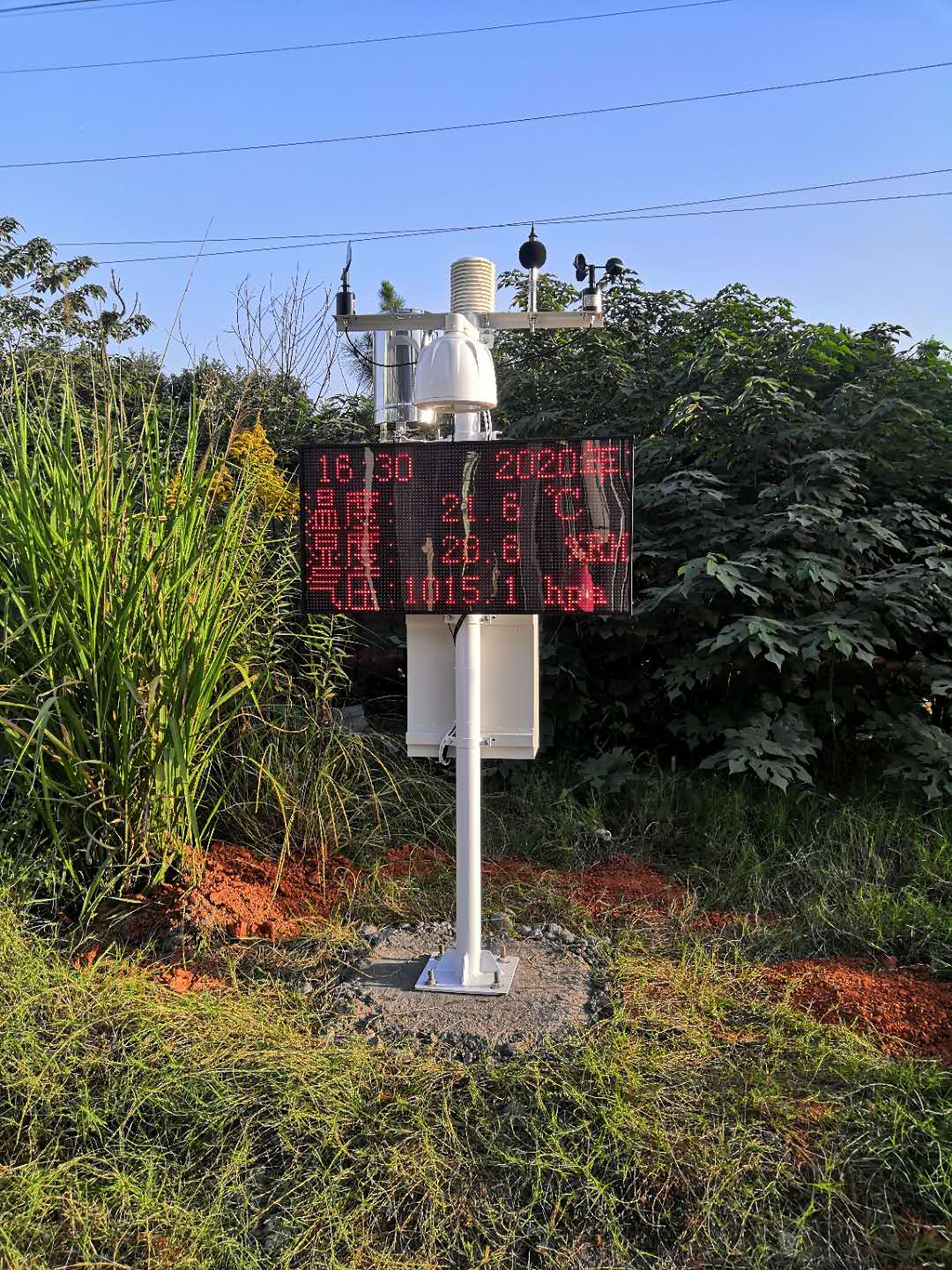
No. Compare the installed channel list and sensor models. Soil, snow, particulate, radiation and leaf-wetness instruments are additional selections, not consequences of calling a system an outdoor station.
It supplies local observations. Forecasting requires a defined method and other information. If a platform offers forecasts, identify the service and distinguish forecast values from the station's measurements.
No. Review each component and its installation. Probe protection, enclosure sealing, cable entries, power equipment and operating temperatures impose separate conditions. The least suitable essential component can limit the system.
They can share structures where exposure and servicing remain appropriate, but soil, wind, rainfall and radiation have different placement needs. A convenient common mast is not sufficient justification for every measurement position.
Provide the decisions supported by the observations, channel list, positions, environmental conditions, available power and network, receiving equipment and required records. Identify specialist duties separately so their instruments and integration can be assessed.
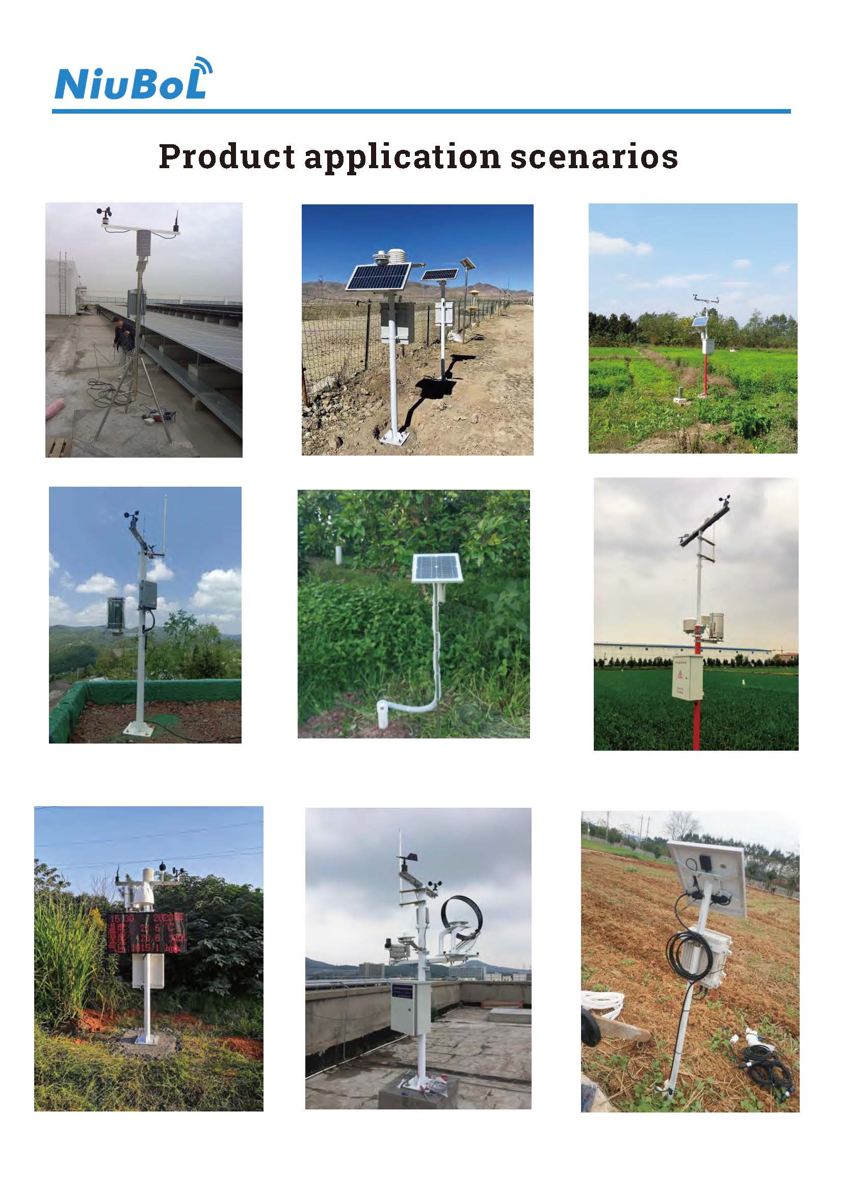
An outdoor weather station is useful when its measurements, exposure and data functions match a defined task. Select the channels first, verify each component's limits and keep observations separate from calculations or forecasts. The resulting equipment scope is easier to integrate, commission and maintain than a purchase based on parameter count alone.
Prev:Remote Sensor for a Weather Station: Replacement Compatibility Checks
Next:IoT Environmental Monitoring Sensors: Build a Cross-Media Channel List
Related recommendations
Sensors & Weather Stations Catalog
 Agriculture Sensors and Weather Stations Catalog-NiuBoL.pdf
Weather Stations Catalog-NiuBoL.pdf
Agriculture Sensors Catalog-NiuBoL.pdf
Water Quality Sensor Catalog-NiuBoL.pdf
Related products
 Combined air temperature and relative humidity sensor
 TDR Soil Moisture & Temperature Sensor for irrigation| RS485 |4-20mA| NBL-S-THR
 Soil pH sensor RS485 soil Testing instrument soil ph meter for agriculture |NBL-S-PH
 Wind Speed sensor Output Modbus/RS485/Analog/0-5V/4-20mA
 Tipping bucket rain gauge for weather monitoring auto rainfall sensor RS485/Outdoor/stainless steel
 Pyranometer Solar Radiation Sensor 4-20mA/RS485


Screenshot, WhatsApp to identify the QR code
WhatsApp number:+8615367865107
(Click on WhatsApp to copy and add friends)

