





— Blogs —
—Products—
 Consumer hotline +8618073152920
WhatsApp:+8615367865107
Address:Room 102, District D, Houhu Industrial Park, Yuelu District, Changsha City, Hunan Province, China
Product knowledge
Time:2024-10-03 17:03:19 Popularity:2075
Hydrological monitoring supports ecological projects by showing how water levels, flow and selected water-quality conditions change. It does not restore a river or prove ecological improvement by itself. To evaluate a project, relate the observations to a baseline, comparable weather and flow conditions, and any biological or habitat evidence required by the assessment.
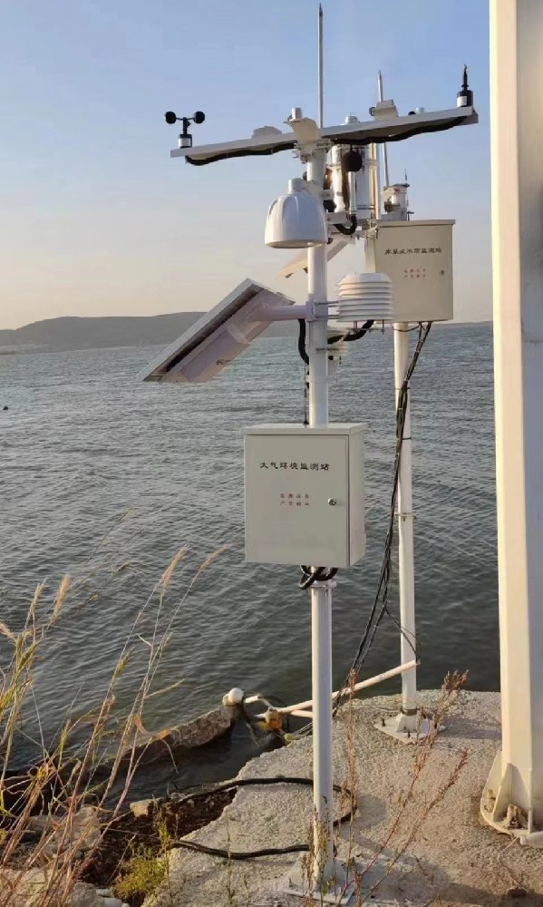
A river restoration team may want to know whether a changed channel retains water for longer. A wetland manager may need to understand seasonal inundation. A reservoir operator may need to examine water-quality changes. Each can benefit from monitoring, but none can be evaluated adequately by installing the same general sensor package and looking for a better-looking chart.
State the proposed ecological change in measurable terms. For example, "longer water retention in the selected wetland area" requires water-level observations related to appropriate ground references and a period of interest. It is different from "higher dissolved oxygen at a selected river point," which requires a water-quality measurement and its own comparison conditions.
| Project question | Useful observation | Important limitation |
|---|---|---|
| Has the inundation pattern changed? | Water levels, ground references and time above selected levels | One point may not describe the entire wetland. |
| Has the flow regime changed? | Discharge records and information on rainfall, withdrawals and releases | Level alone is not discharge; rainfall variation can change the comparison. |
| Have oxygen conditions changed? | Dissolved oxygen with temperature and time of day | A daytime observation may miss a different condition overnight. |
| Has sediment transport changed? | Appropriate sediment observations with flow and sampling | Turbidity is not automatically a sediment mass or load. |
| Has habitat or the biological community improved? | Relevant habitat or biological surveys alongside water records | A water-level or water-quality sensor does not measure species abundance or establish biodiversity recovery. |
This is why hydrological monitoring is valuable without being a complete ecological assessment. It can describe pressures and conditions, identify when further investigation is needed and support an evaluation method. Management decisions and ecological responses remain separate from the installation of the instruments.
A record beginning after construction can show current conditions but provides no measured pre-project baseline at that location. If evaluation is part of the contract, discuss monitoring early enough to collect relevant earlier observations. The required duration depends on variability and the assessment question; there is no single number of months suitable for every project.
Compare equivalent periods and conditions where possible. A wetter year after restoration can produce higher water levels even without a project effect. Changes in upstream releases or abstractions can also alter the record. Include those conditions in the interpretation rather than attributing every favorable movement to the restoration work.

A suitable reference location can help distinguish wider environmental change from a local project response, but it must actually be comparable. An upstream point below a separate discharge or a reservoir with different operations is not automatically a valid reference. The study designer should select the comparison and explain its limitations.
The USGS guidance on evaluating aquatic-organism passage restoration describes biological monitoring methods and study-design choices. It illustrates the need to select evidence for the ecological question being evaluated. A water-level trend alone cannot answer questions about organism movement or population response; the required observations extend beyond the physical water measurement.
A non-contact radar water-level sensor can track a water surface without an immersed sensing head. The installation reference must remain identifiable. If the mounting moves or the reported zero changes, the apparent ecological change may instead be a change in the measurement geometry.
If the question concerns discharge, select a suitable flow-measurement method and maintain the information required by that method. A channel altered by restoration may no longer have its earlier stage-discharge relationship. Reusing the old conversion without review can create a false impression of changed flow.
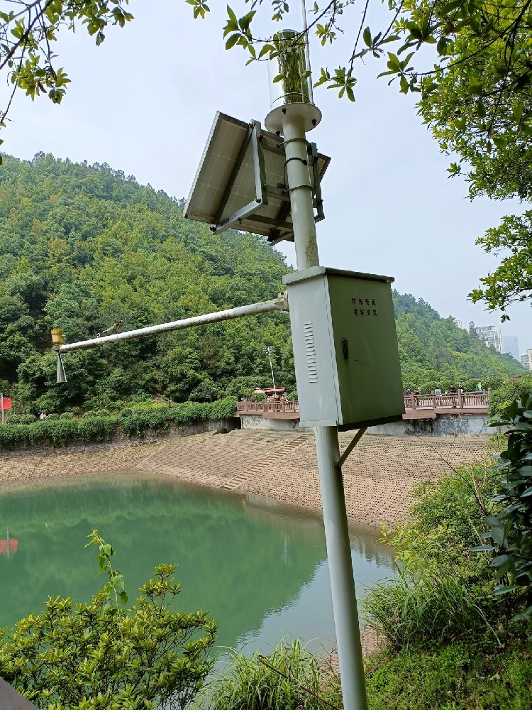
For oxygen conditions, the NiuBoL NBL-WQ-DO measures dissolved oxygen using fluorescence quenching. It can supply continuous observations to a compatible logger or RTU. It does not identify every contaminant, measure the fish population or demonstrate that a water body is suitable for every ecological objective.
| NBL-WQ-DO parameter | Specification | Meaning for a field project |
|---|---|---|
| Dissolved oxygen range | 0-20 mg/L | Check the expected conditions against the selected range. |
| Resolution and specified accuracy | 0.01 mg/L; +/-2% F.S. | Small displayed increments are not proof of equally small measurement uncertainty. |
| Operating conditions | 0-45 C; pressure below 0.2 MPa | Check the actual water temperature and installation depth. |
| Supply and consumption | 12-24 V DC; less than 0.3 W at 12 V | Include logger and communications loads separately. |
| Data connection | RS485 Modbus RTU | Verify channel decoding, units, addressing and compensation settings. |
| Installation and protection | Immersion installation; IP68 sensor | Keep the optical face clear; protect terminals and above-water equipment separately. |
These are the specifications of this DO model, not of a complete hydrological station. Other NiuBoL level, rainfall or water-quality devices have their own limits. Specify the water-quality parameters the assessment needs instead of assuming a general water-quality probe detects heavy metals, nutrients and all pollution sources.
Different observation times: A morning field reading and an afternoon reading do not necessarily represent comparable oxygen conditions. Continuous monitoring can reveal daily variation, but an evaluation should still compare the intended time periods. Preserve the original timestamps and define how any daily minimum or average is calculated.
Different water movement: A lower pollutant concentration after rainfall may reflect dilution rather than a smaller pollutant input. Estimating transported load requires an appropriate concentration record and discharge information over time. One concentration reading cannot establish the total mass entering or leaving a reach.
Different measuring conditions: A probe moved into a stagnant bank pocket or a sensor coated with sediment can change its record without an equivalent change in the main channel. Installation photographs and servicing notes help the analyst identify such changes. They are context for the measurement, not evidence of a project benefit.
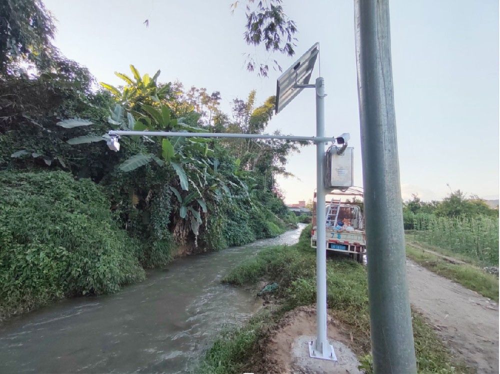
Automated observations can capture short events and overnight conditions that periodic visits miss. Rainfall and water-level records can help explain when a change occurred and guide a follow-up sampling visit. This is particularly useful when a site is difficult to reach during a storm, provided the equipment and its installation remain suitable for those conditions.
Automation also creates obligations. Immersed sensors need inspection, reference geometry must remain valid and data interruptions must be recognized. For the NBL-WQ-DO, keep the fluorescent cap free of damaging contact, bubbles and bottom sediment. Configure salinity compensation appropriately; it is a setting, not an independent salinity measurement.
Where several DO sensors share an RS485 bus, provide distinct compatible addresses and verify each physical location against its receiving channel. A repeated response from one incorrectly mapped device can make two sites appear identical. A communications test should therefore establish station identity as well as successful data reception.
Some questions still require laboratory samples, biological surveys or specialist field measurements. A monitoring alarm can prompt an investigation, but it does not establish the pollutant's identity or the legal responsibility for an event. Define those follow-up activities separately from the sensor supply.
Before asking NiuBoL to configure the instruments, provide the ecological question, proposed observation locations, expected water conditions and receiving system. Identify whether the team needs a baseline, event monitoring or a long-term comparison. Those purposes can change the sensor selection, recording interval and field-service arrangement.
Keep the equipment scope distinct from the assessment scope. Sensors, mounting, power and communications are one part; sampling, calibration checks, data review and ecological interpretation are another. This avoids paying for a complete hardware installation that still cannot answer the question used to justify the project.
For a broader explanation of the quantities, see what level, flow and water-quality records mean. Here the procurement priority is a comparison that remains interpretable after the project changes the site, not the largest possible list of channels.
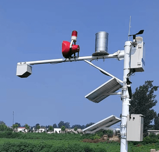
The instruments provide observations. Improvement depends on management actions and the ecosystem's response. Monitoring can help identify a problem, assess an intervention and reveal unintended effects, but the existence of a live dashboard is not evidence that ecological conditions have improved.
Yes, but it cannot recreate an unmeasured pre-project baseline. Later observations can describe conditions and support comparisons with appropriate historical or reference information. State that limitation clearly instead of presenting an after-only record as a controlled before-and-after evaluation.
Only if its measured quantity and location answer the particular question. A DO probe can describe local oxygen conditions, not all water quality or all habitat. Additional parameters or locations should be selected by the assessment need, rather than added simply to make the station appear comprehensive.
Not by level alone. A flow requirement needs an appropriate discharge measurement or a valid conversion method for the site. If restoration changes the channel, review any earlier relationship between water level and discharge before using it to assess the new condition.
Check sensor identity, physical position, references, units and timestamps at the receiver. Compare measurements using the agreed field-check procedure and identify missing or serviced periods. Accepting the equipment proves that it performs the specified observation task; it does not yet prove a long-term ecological outcome.
A budget limited to hardware can leave insufficient resources for baseline observations, field servicing and interpretation. Price those activities separately so the project team can see what is included. Compare offers using the same monitoring duration, site count and assessment responsibilities, not only the number of sensors.
The benefit of hydrological monitoring is a more defensible account of changing water conditions. Its limitations become manageable when the study defines the comparison, selects suitable instruments and includes the field work needed to interpret the record. NiuBoL can support the observation system; ecological conclusions require the wider assessment.
Prev:What Is a Dust Monitoring System? Understand the PM Reading
Next:Weather Station Power Supply: When Solar or Mains Makes Sense
Related recommendations
Sensors & Weather Stations Catalog
 Agriculture Sensors and Weather Stations Catalog-NiuBoL.pdf
Weather Stations Catalog-NiuBoL.pdf
Agriculture Sensors Catalog-NiuBoL.pdf
Water Quality Sensor Catalog-NiuBoL.pdf
Related products
 Combined air temperature and relative humidity sensor
 TDR Soil Moisture & Temperature Sensor for irrigation| RS485 |4-20mA| NBL-S-THR
 Soil pH sensor RS485 soil Testing instrument soil ph meter for agriculture |NBL-S-PH
 Wind Speed sensor Output Modbus/RS485/Analog/0-5V/4-20mA
 Tipping bucket rain gauge for weather monitoring auto rainfall sensor RS485/Outdoor/stainless steel
 Pyranometer Solar Radiation Sensor 4-20mA/RS485


Screenshot, WhatsApp to identify the QR code
WhatsApp number:+8615367865107
(Click on WhatsApp to copy and add friends)

