





— Blogs —
—Products—
 Consumer hotline +8618073152920
WhatsApp:+8615367865107
Address:Room 102, District D, Houhu Industrial Park, Yuelu District, Changsha City, Hunan Province, China
Product knowledge
Time:2025-02-16 19:20:13 Popularity:1665
Weather records for crop planning need a stated time scale. A newly installed small station can document current field conditions and support seasonal observations, but it cannot establish long-term climate or the probability of rare events from a short record. Use local measurements alongside suitable regional histories, crop information and forecasts, with each source's purpose kept explicit.
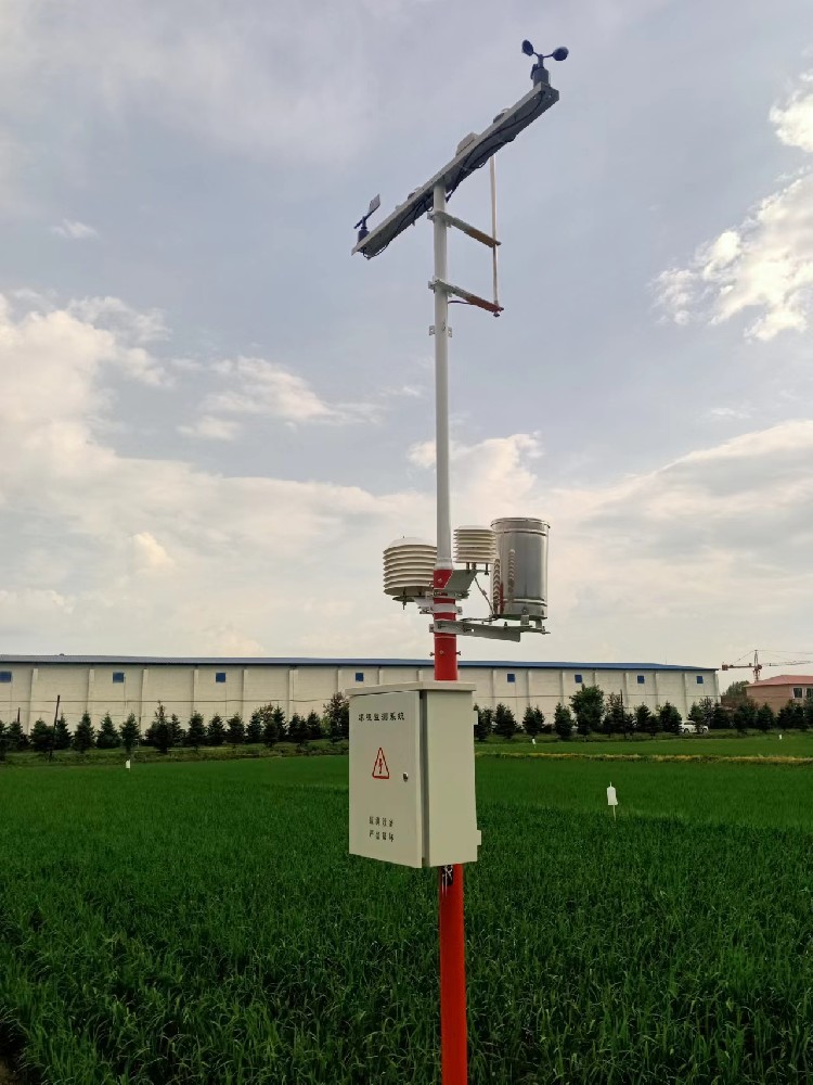
A soil-temperature reading may help assess a field today. A choice of perennial crop, variety or long-term planting layout asks a different question: what conditions are likely over many seasons? Both questions involve weather, but they need different evidence. A station installed after a wet or warm season should not turn that season into an assumed normal.
Small weather stations are useful because they collect observations at a known local point. They can help reveal a sheltered area, a wetter management zone or a recurring difference between an open field and a greenhouse. Those observations must still be interpreted with sensor exposure, crop growth and management changes in mind. Local detail does not remove the need for a sufficiently long and representative history.
| Record available | Reasonable use | Conclusion to avoid |
|---|---|---|
| Recent hours or days | Check current conditions and a particular weather event. | Assuming a short event defines the site's normal climate. |
| One growing season | Relate weather to crop stages and management during that season. | Estimating rare frost, flood or drought probabilities from one season. |
| Several comparable seasons | Examine repeated local patterns with documented site conditions. | Attributing every difference to climate rather than site or equipment changes. |
| Suitable long-term regional records | Provide broader climatic context for strategic crop planning. | Assuming the regional station exactly represents the crop canopy or soil. |
The WMO definition of climatological standard normals uses consecutive 30-year periods, such as 1991-2020. That definition does not make a new farm station a climate-normal station. Nor does a long-term average by itself describe the frequency or severity of every damaging event.
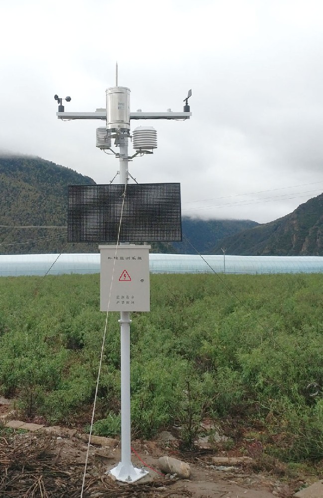
Weather records for crop planning should identify what was measured rather than grouping everything under climate data. Air temperature, soil temperature, relative humidity and volumetric soil moisture are different quantities. If the question concerns conditions at sowing depth, an atmospheric sensor cannot supply the missing soil record.
| Instrument example | Technical basis | Information to retain with the series |
|---|---|---|
| NiuBoL NBL-W-LBTH | Air temperature -40 to 80 C, +/-0.5 C; RH 0-100%, +/-5% RH; RS485 Modbus RTU option | Height, shield exposure and location relative to structures and crop. |
| NBL-S-TM | Soil temperature -40 to 80 C, +/-0.5 C; volumetric moisture 0-100%; IP68 probe | Depth, soil type, probe contact and irrigation position. |
| NBL-W-RS | 0.2 mm resolution; liquid-rain operation 0-50 C | Time boundary, catch exposure and periods with blockage or freezing. |
Crop-development calculations also need a defined method. Temperature-based growing-degree calculations, for example, depend on the crop's base temperature and any upper limit used. Keep those settings with the result. A calculated index is not a direct sensor measurement, and changing its method can make two seasons look different without a change in the underlying weather.
Select regional records with known location, elevation, period and measurement definitions. Compare overlapping periods with the farm station to understand local differences, while recognizing that the relationship may vary with season and weather. A constant temperature offset derived from a few afternoons is not a defensible reconstruction of years of field conditions.
Check daily boundaries before comparing totals and extremes. A midnight-to-midnight rainfall total differs from a total accumulated between morning observation times. Air-temperature minima may also refer to different periods. Retain the original series and record any conversion or estimation separately. Missing local intervals should not be silently replaced with regional values and presented as local observations.
A growing crop, new shelterbelt, moved mast or changed irrigation pattern can alter what the station represents. Keep a dated site record and photographs of the sensing exposure. If the monitoring objective changes from open-field weather to conditions inside the canopy, record that as a change in the series rather than continuing under the same unexplained label.
The TG462 / TG462S logger can support a configured acquisition and storage application. Specify the observation interval, treatment of gaps, export format and archive access required for the planning project. Storage capacity alone does not establish a complete, retrievable multi-year history.
Keep crop and management observations beside the weather archive: sowing and harvest dates, variety, crop stage, irrigation and relevant field conditions. A warm period can coincide with an earlier harvest without proving that temperature was the only cause. For investment or variety decisions, have the combined evidence assessed by the appropriate agricultural specialists.
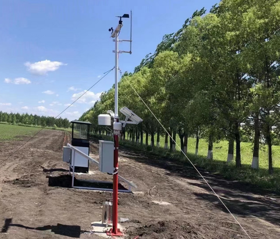
It can contribute observations about that season, but it does not establish performance across the range of future conditions. Combine local crop results with suitable trial evidence, longer weather histories and agronomic assessment before making a long-term commitment.
No. It can support current operations and build a local record immediately after commissioning. The 30-year period concerns climatological standard normals, not a waiting period for all practical station uses. Match each conclusion to the history actually available.
They can be estimated for an appropriate analysis when the method and its limitations are recorded. Keep estimated values identifiable and retain the original gaps. Proximity alone does not establish that the stations have equivalent exposure or weather.
No. Capacity planning also involves crop water demand, soil storage, water availability, application efficiency and design conditions. Rain observations are one input. A short series of gauge totals is not a complete irrigation design basis.
Provide the crop-planning question, required variables, site and soil description, proposed observation periods and intended analysis workflow. Ask NiuBoL for the corresponding sensor and logger configuration, including access to historical records and documentation of later equipment changes.
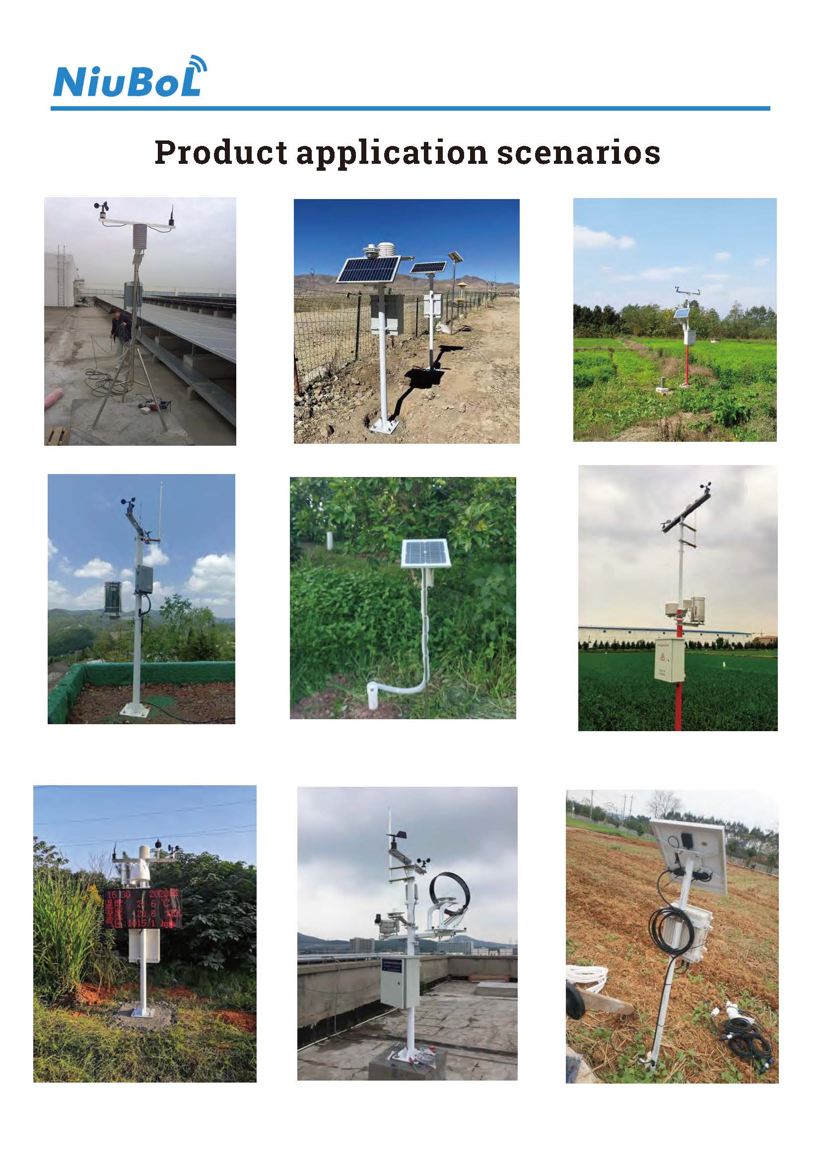
Weather records for crop planning are more useful when their time scale and measurement conditions are clear. A small NiuBoL station can add local observations to a wider evidence base. Preserve the archive and site history, and do not ask a short record to establish a long-term climate conclusion.
Prev:Battery Safety Use Guidelines for Weather Station Equipment
Next:Small Farm Weather Station Benefits: Which Farm Tasks Actually Change?
Related recommendations
Sensors & Weather Stations Catalog
 Agriculture Sensors and Weather Stations Catalog-NiuBoL.pdf
Weather Stations Catalog-NiuBoL.pdf
Agriculture Sensors Catalog-NiuBoL.pdf
Water Quality Sensor Catalog-NiuBoL.pdf
Related products
 Combined air temperature and relative humidity sensor
 TDR Soil Moisture & Temperature Sensor for irrigation| RS485 |4-20mA| NBL-S-THR
 Soil pH sensor RS485 soil Testing instrument soil ph meter for agriculture |NBL-S-PH
 Wind Speed sensor Output Modbus/RS485/Analog/0-5V/4-20mA
 Tipping bucket rain gauge for weather monitoring auto rainfall sensor RS485/Outdoor/stainless steel
 Pyranometer Solar Radiation Sensor 4-20mA/RS485


Screenshot, WhatsApp to identify the QR code
WhatsApp number:+8615367865107
(Click on WhatsApp to copy and add friends)

