





— Blogs —
—Products—
 Consumer hotline +8618073152920
WhatsApp:+8615367865107
Address:Room 102, District D, Houhu Industrial Park, Yuelu District, Changsha City, Hunan Province, China
Product knowledge
Time:2026-03-26 11:14:19 Popularity:741
Agricultural four-conditions monitoring combines soil water, pests, weather and crop-growth observations. The crop camera is often the least clearly specified part: a useful visible image may be offered alongside unsupported claims of automatic leaf area, chlorophyll or plant height measurement. Define the required camera output before buying a platform that labels every picture as a quantitative crop assessment.
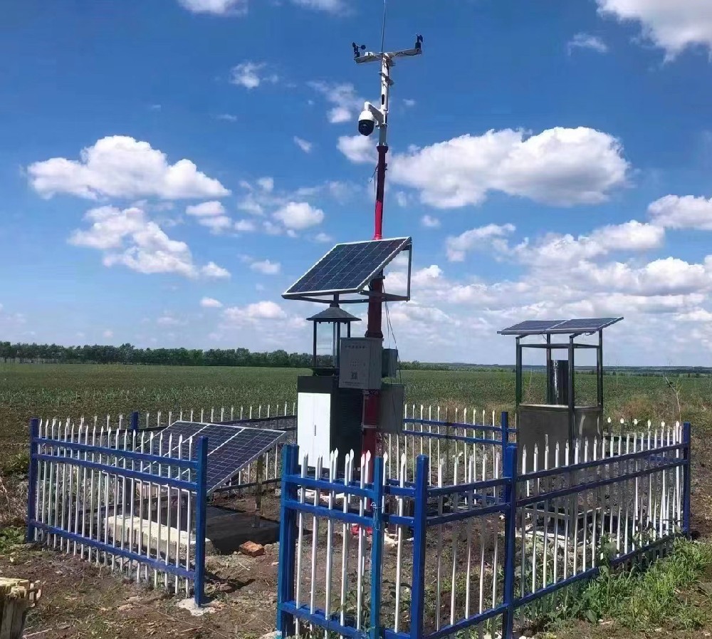
A visible-light camera can help staff review emergence, canopy appearance, lodging or an obvious change in a fixed view. That is useful without claiming a direct measurement of every plant trait. A numerical indicator needs a defined method, the required inputs and evidence that it works for the intended crop and installation.
Ask whether the project needs remote visual review, repeatable image comparisons or a calibrated quantitative result. These are different deliverables. If staff only need to inspect crop appearance between visits, a clear repeatable view may be preferable to an unvalidated metric with an impressive dashboard label.
| Requested output | What needs specifying | What not to assume |
|---|---|---|
| Visible crop record | View, capture period, image detail and retrieval | That the picture directly measures crop nutrition |
| Image canopy coverage | Region analyzed, segmentation method and handling of shadows or gaps | That image green fraction equals leaf area index |
| Plant height | Scale, geometry or depth method and a field reference | That any single oblique image supplies reliable height |
| Spectral vegetation index | Required spectral bands, calibration and processing | That a normal RGB camera supplies every spectral channel |
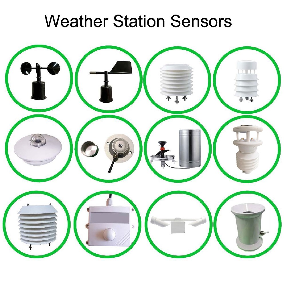
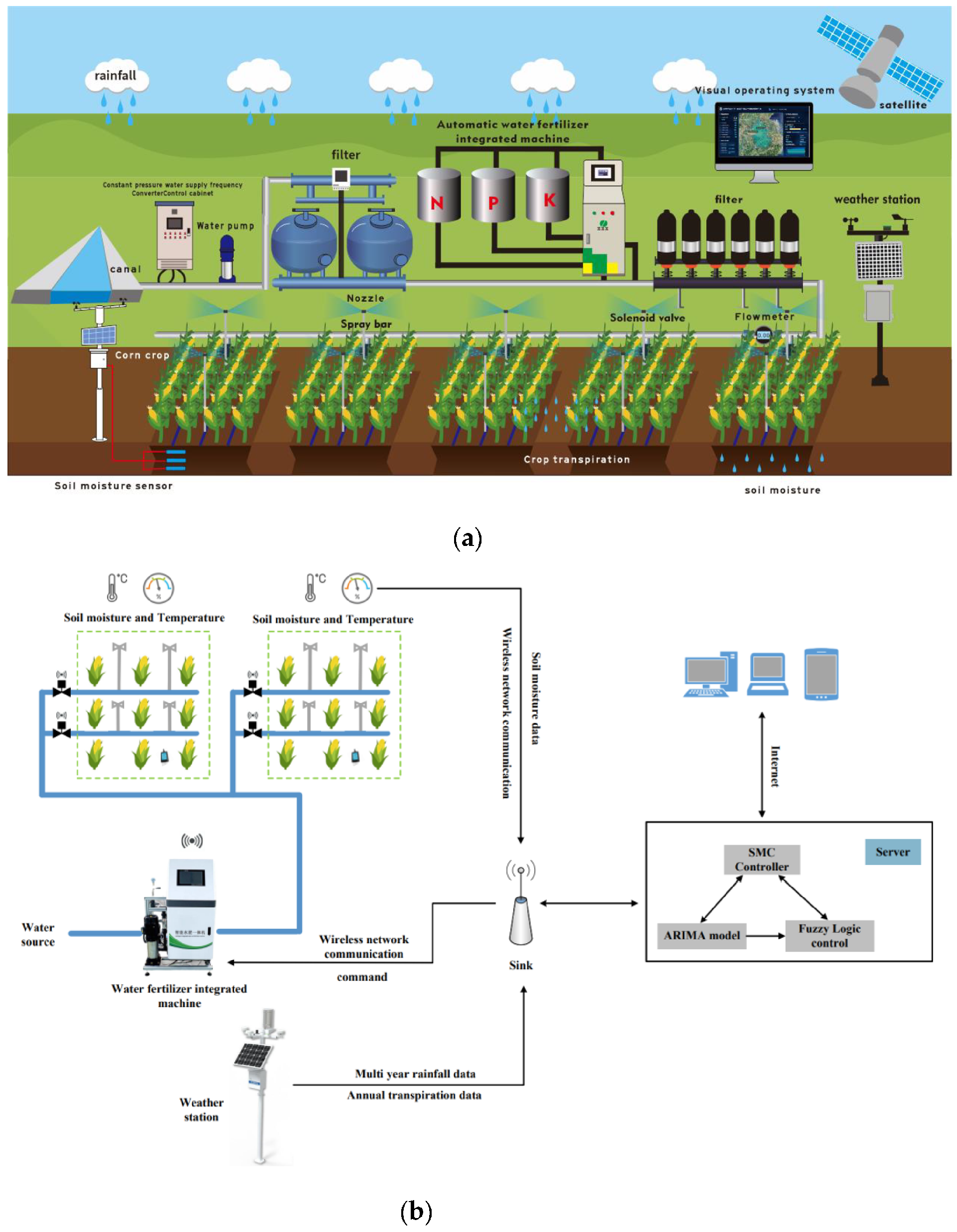
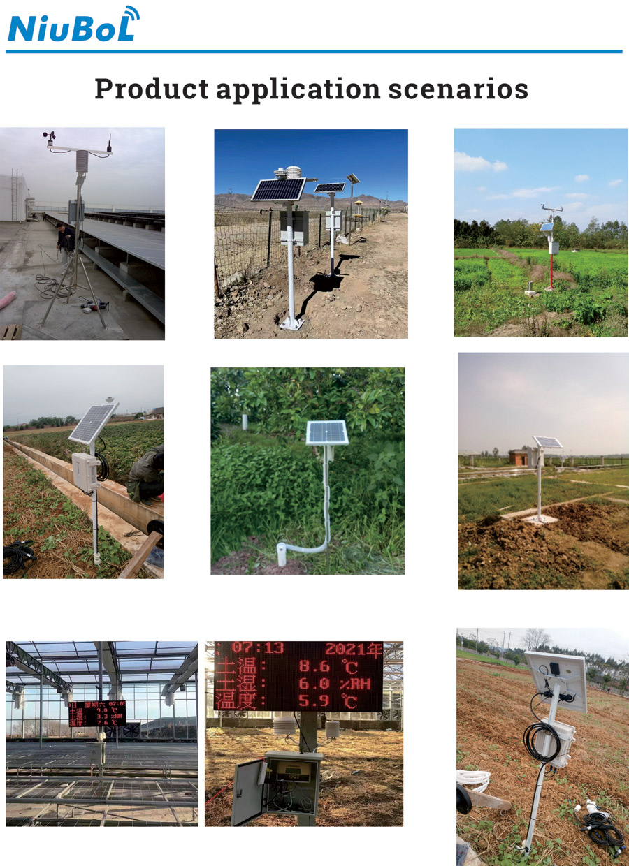
The soil component measures selected soil quantities at selected positions. Weather instruments describe the installed atmospheric observations. An insect camera records the specimens presented by its trapping arrangement. A crop-view camera observes plants in a different field of view. They can share a project, but one stream cannot establish the accuracy of the others.
For example, a soil moisture rise after irrigation can provide context for a crop image, but does not prove that a darker leaf color was caused by irrigation. Likewise, weather and crop appearance can guide inspection without diagnosing a pathogen or nutrient deficiency. Keep the observation and the interpretation separate in reports.
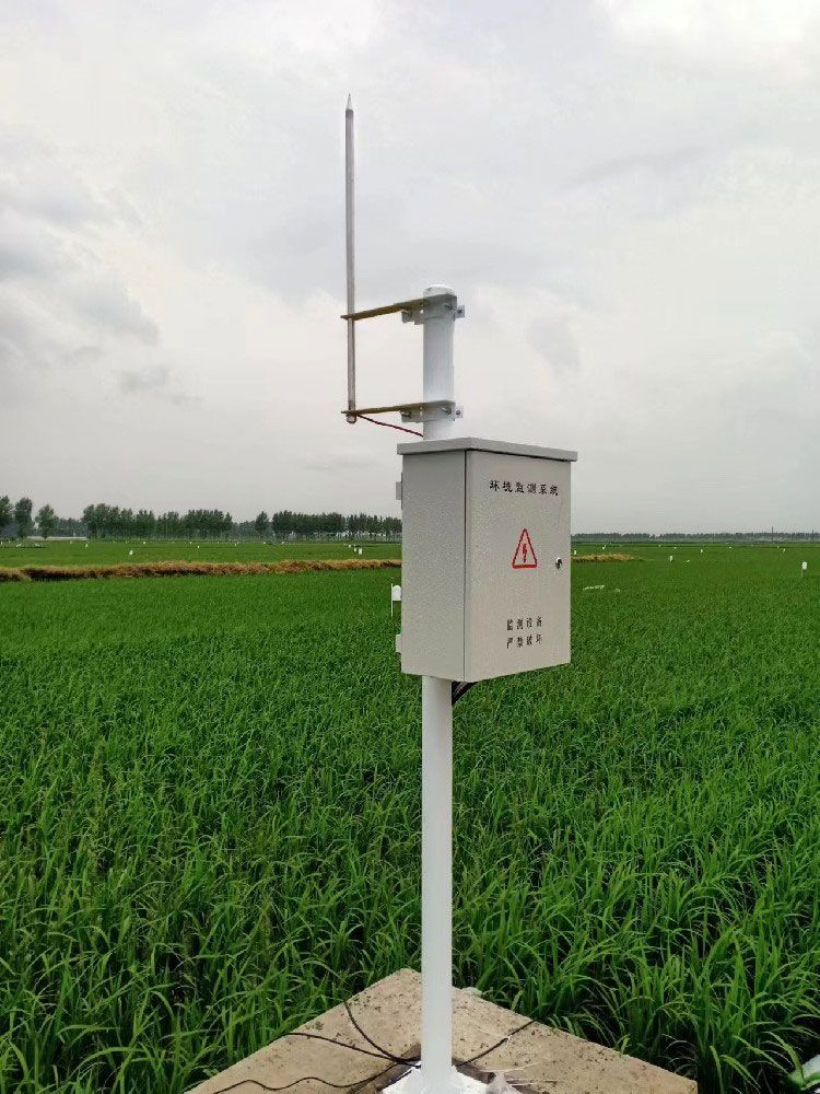
A camera that sees seedbeds clearly at planting can lose the ground view after canopy closure. Its field of view may later contain mostly nearby leaves while the more distant crop occupies very few pixels. Review framing at the expected mature crop height, not only on installation day.
Record the camera location, angle, zoom and the area used for analysis. If a camera can pan or zoom, define a repeatable reference view for comparisons. A change in magnification must not be reported as increased canopy cover or taller plants. Keep maintenance or view changes visible in the image history.
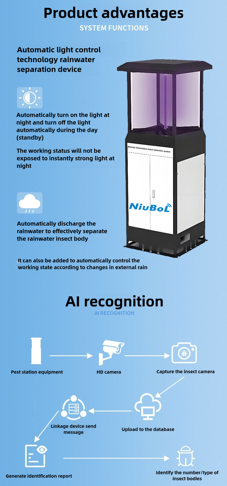
The NiuBoL NBL-IoT-SRPMS uses a 12-megapixel industrial camera to image collected insects. That camera specification does not describe a field crop-view camera. The target, working distance, lighting and image interpretation differ.

Specify crop imaging separately, including the mounting, capture conditions and receiving application. A larger pixel count alone does not establish measurable plant detail at the proposed distance. Ask for a trial image using the intended view, then check whether the features staff need to inspect are actually visible.
Sun angle, cloud, leaf wetness and automatic camera exposure can change apparent brightness and color. Wind can move leaves or blur an image. A record that looks greener after a cloud passes is not necessarily evidence of increased chlorophyll. Preserve the original image and capture settings where available.
For repeated observations, agree a practical capture period and a rule for unsuitable images. Mark severe blur, obstruction or a moved view as unsuitable for the affected analysis. Keeping a picture in the archive does not require assigning a confident numerical crop indicator to it.
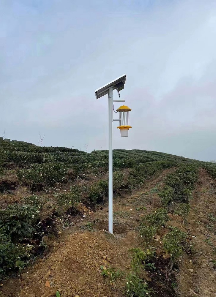
Suppose a test image contains 10,000 analyzed pixels and 6,000 are classified as crop vegetation. The resulting 60% is an image classification fraction for that view and method. It is not automatically 60% of the whole field, a leaf area index of 0.6 or a measured chlorophyll concentration.
Leaf area index relates leaf area to ground area, including leaves that may overlap in a photograph. NDVI requires the appropriate red and near-infrared information; it cannot be obtained merely by renaming a green channel from an ordinary RGB image. NASA's vegetation-index explanation describes the role of visible and near-infrared reflectance. Any local quantitative application still needs its own suitable acquisition and validation method.
| Component example | Relevant specification | What it contributes |
|---|---|---|
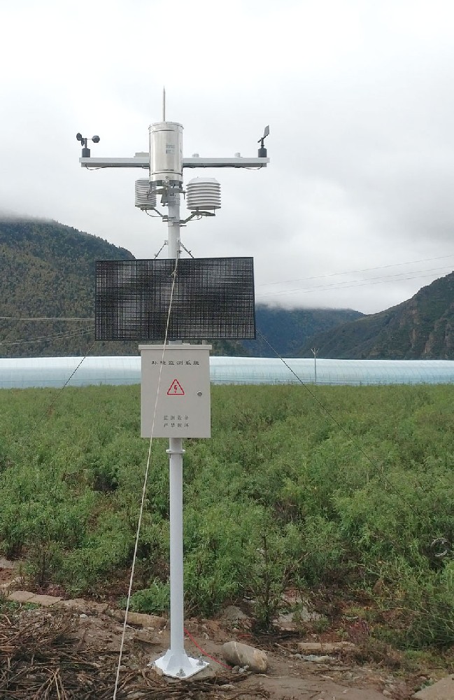
| NBL-S-TMSMS soil profile | FDR VWC; standard 10/20/30/40 cm nodes with options; laboratory ±3%, field ±5% | Local water-content context, not automatic EC or pH |
| NBL-W-LBTH atmospheric sensor | Temperature -40 to 80°C, ±0.5°C; RH 0-100%, ±5%; pressure 10-1200 hPa, ±1.5 hPa | Weather observations, not a direct plant-state measurement |
| NBL-IoT-SRPMS insect imaging | 12-megapixel camera; selected sample-processing arrangement | Images of collected insects, not field crop imagery |
| Crop-view camera | Model, bands, optics and analysis to be selected for the required task | No universal LAI, height or chlorophyll specification without a defined configuration |
The soil profile and atmospheric sensor can use RS485 Modbus RTU in their selected digital versions. Image retrieval and analysis require a separately confirmed data path. Do not infer one universal protocol, power requirement or environmental rating for the complete four-part system.
For visual review, test whether staff can identify the intended condition in the delivered images. For a quantitative output, agree the field reference, crop stages, error measure and unsuitable-image treatment before the pilot. Include the difficult conditions the project is likely to encounter, rather than only clean close-up images.
Retain crop stage and field findings with the comparison. A method that works for open rows early in the season may not perform the same way under a closed canopy. A single correlation with plant height or a color reading does not establish a transferable calibration across varieties, soils and illumination.
Send NiuBoL the crop, row layout, expected canopy development, intended camera position and the decision the images will support. Identify whether the required deliverable is viewing, coverage estimation or a specific quantitative trait. Request the camera and analysis scope separately from soil, weather and insect equipment.
This allows the project to keep a straightforward image service where it is sufficient and reserve more demanding instrumentation for a genuine measurement need. It also makes the enquiry specific without inventing reductions in water, fertilizer or pesticide use from the presence of four monitoring modules.
Not directly. Apparent color depends on the plant and the imaging conditions. A quantitative claim needs an appropriate measurement method and field validation, not just a colored crop image.
No. Coverage describes a defined visible or projected fraction; leaf area index concerns leaf area relative to ground area. Overlapping leaves and viewing geometry prevent a simple universal substitution.
A conventional RGB image does not provide the required near-infrared measurement. Specify suitable spectral channels and processing where NDVI is actually required.
Its specified task is imaging collected insects. A crop-view installation needs its own optics, view and capture requirements. Do not apply the insect camera's pixel specification to an unspecified crop camera.
Demonstrate the intended view and output over representative crop stages and capture conditions. For a numerical trait, compare with the agreed field reference and retain unsuitable cases rather than forcing every image into a result.
Agricultural four-conditions monitoring is more useful when crop images and calculated plant indicators are clearly distinguished. Specify the view, the required output and any validation before purchasing analytics. NiuBoL soil, weather and insect equipment can provide supporting observations while the crop camera is selected for its own task.
Prev:Ultrasonic Automatic Weather Station: Diagnose Wind-Channel Data Gaps
Next:Small Automatic Weather Station Data Storage: Verify Offline Retention
Related recommendations
Sensors & Weather Stations Catalog
 Agriculture Sensors and Weather Stations Catalog-NiuBoL.pdf
Weather Stations Catalog-NiuBoL.pdf
Agriculture Sensors Catalog-NiuBoL.pdf
Water Quality Sensor Catalog-NiuBoL.pdf
Related products
 Combined air temperature and relative humidity sensor
 TDR Soil Moisture & Temperature Sensor for irrigation| RS485 |4-20mA| NBL-S-THR
 Soil pH sensor RS485 soil Testing instrument soil ph meter for agriculture |NBL-S-PH
 Wind Speed sensor Output Modbus/RS485/Analog/0-5V/4-20mA
 Tipping bucket rain gauge for weather monitoring auto rainfall sensor RS485/Outdoor/stainless steel
 Pyranometer Solar Radiation Sensor 4-20mA/RS485


Screenshot, WhatsApp to identify the QR code
WhatsApp number:+8615367865107
(Click on WhatsApp to copy and add friends)

