


— Blogs —
—Products—
 Consumer hotline +8618073152920
 WhatsApp:+8615367865107
Address:Room 102, District D, Houhu Industrial Park, Yuelu District, Changsha City, Hunan Province, China
Product knowledge
Time:2025-12-17 13:46:54 Popularity:753
Hydrological and water conservancy is a core field of national infrastructure construction and environmental protection. Accurate and real-time acquisition of hydrological data (such as water level, precipitation, flow velocity) is a prerequisite for rational water resource allocation, scientific scheduling, and flood prevention and mitigation.
Sensors, as key front-end devices in hydrological and water conservancy monitoring systems, their technological innovations directly determine the accuracy of monitoring data and system reliability. This article will deeply explore four of the most widely used sensors in the hydrological and water conservancy field and look forward to future technology trends.
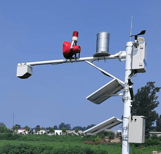
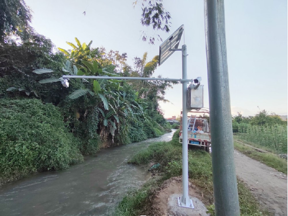
Hydrological and water conservancy monitoring equipment is divided into contact and non-contact types, each with unique working principles and applicable scenarios. NiuBoL often deploys mixed configurations based on site conditions in actual projects.
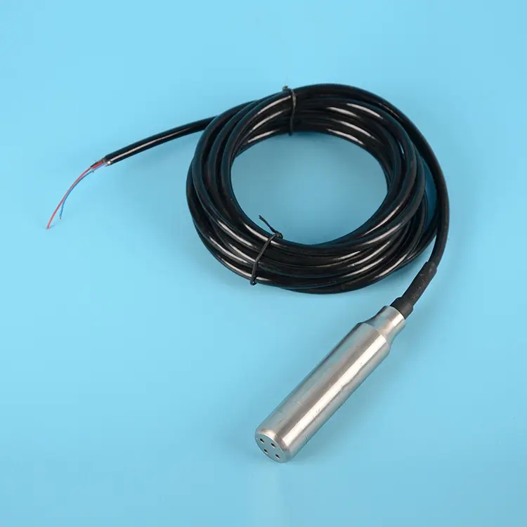
Working Principle:
The submersible level transmitter (Pressure Level Transmitter) works based on fluid hydrostatic pressure. It measures the hydrostatic pressure generated by the water column and converts the pressure signal into a standard electrical signal (such as 4-20mA or digital RS-485 output). Its core is a high-precision diffused silicon pressure sensor.
Technical Features and Challenge Overcoming:
High Precision and Stability: Features high measurement accuracy.
Challenge Overcoming: Requires built-in temperature compensation algorithm to eliminate the impact of water temperature changes on water density; externally equipped with vented cable to ensure the sensor measures atmospheric pressure internally, eliminating interference from atmospheric pressure changes on measurement results.
Application Scenarios: Suitable for continuous monitoring of reservoir water levels and river water levels with relatively clear water quality.
Working Principle:
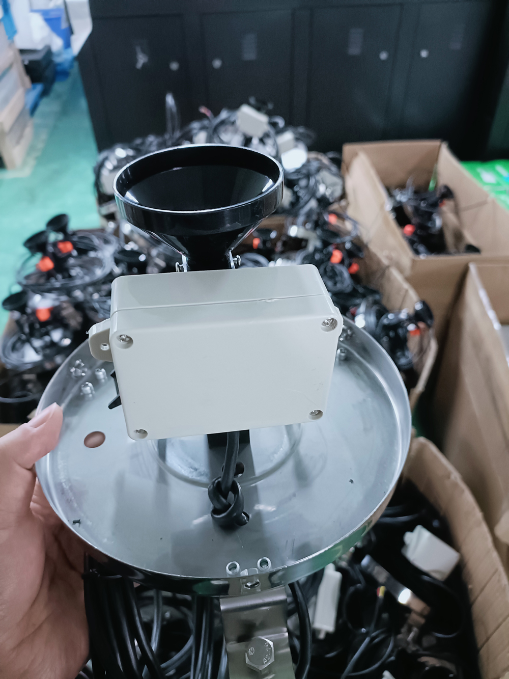
The tipping bucket rain sensor (Tipping Bucket Rain Gauge) measures precipitation through a mechanical structure. Rainwater flows precisely into the measuring bucket through the collector. When the collected water reaches a predetermined volume (usually 0.1mm or 0.2mm precipitation), the measuring bucket tips, triggering a switch signal for counting.
Technical Features and Challenge Overcoming:
Simple Structure, Easy Maintenance: Simple structure with high long-term operational reliability.
Challenge Overcoming: In low-temperature environments, NiuBoL tipping bucket rain gauges often have built-in electric heating devices (optional) to ensure snow or hail melts for accurate measurement, guaranteeing continuous monitoring capability in cold regions.
Application Scenarios: Widely used for measuring precipitation amount and analyzing precipitation patterns, an important basis for flood warnings and total water resource calculation.
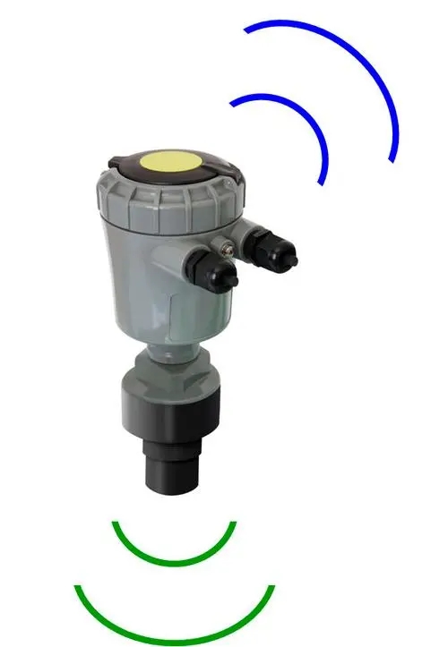
Working Principle:
The radar level gauge (Radar Level Meter) is a non-contact measurement device. It emits microwave radar signals toward the water surface through an antenna, measuring the time delay (ToF) of signal round-trip to calculate distance. Since radar wave speed is constant, measurement results are extremely precise.
Technical Features and Challenge Overcoming:
Non-Contact Advantage: No need for contact with water body, completely unaffected by water pollution, corrosion, sediment, or floating objects.
Challenge Overcoming: High anti-interference capability, especially suitable for large reservoirs or complex water areas with drastic water level changes; precision minimally affected by temperature and pressure.
Application Scenarios: Precise monitoring of large reservoirs, mountainous rivers, and important bridge water levels.
Working Principle:
The ultrasonic level gauge (Ultrasonic Level Meter) is also a non-contact sensor, calculating distance by measuring ultrasonic pulse propagation time through emission and reception.
Technical Features and Challenge Overcoming:
Convenient Installation, High Economy: Compact structure, simple installation and debugging, relatively low cost.
Challenge Overcoming: Ultrasonic speed is greatly affected by air temperature. High-precision ultrasonic level gauges require built-in temperature sensors for real-time sound speed compensation and correction to ensure accuracy under different temperatures.
Application Scenarios: Suitable for rivers, channels, and water treatment pools with moderate flow velocity where accuracy requirements are moderate and economy is pursued.
NiuBoL solutions build a complete chain from data collection to decision support by integrating the above high-precision sensors.
The system adopts the classic “sensor to RTU gateway/data collector to communication network to cloud platform” architecture.
Data Collector/RTU/Gateway: Responsible for receiving and processing sensor data from interfaces like RS-485, with local storage and alarm triggering functions.
Communication Network: Uses wireless technologies like 4G/5G/WiFi/LoRaWAN to transmit data to the cloud platform in real time and securely.
Cloud Platform: Achieves remote management, data analysis, warning push, and historical data storage.
Hydrological data is crucial; NiuBoL focuses on data transmission and system operation:
Remote Transmission and Protocol: Sensors uniformly use RS-485 (Modbus/RTU) protocol for industrial-grade stable communication. Data transmission uses encrypted tunnels to ensure security and integrity.
Power Supply Reliability: Widely adopts solar power systems (with large-capacity batteries) to ensure 24-hour uninterrupted monitoring in remote powerless areas.
Future hydrological and water conservancy monitoring will be the core of “digital watershed” construction, with sensor technology continuing to deepen.
Future sensors will trend toward multi-parameter integration, measuring water level, flow velocity, water quality, and other parameters in one device. In particular, non-contact radar flow meters integrated with level gauges will provide simultaneous water level and flow velocity data for more precise discharge calculation and flood modeling support.
Data Sharing and Analysis: Monitoring data uploaded to cloud platforms in real time, using AI algorithms for anomaly diagnosis and trend prediction, achieving a leap from “data reporting” to “decision support.”
Digital Watershed: Sensor data deeply integrated with geographic information systems (GIS) and remote sensing data to build high-precision digital watershed models for comprehensive perception and refined management of water resources and environments.
As engineering design demands higher data reliability, future sensors will continuously pursue higher measurement precision and stability. Meanwhile, sensors made with new corrosion-resistant materials will adapt to harsher hydrological environments, significantly extending sensor lifespan.
Submersible level transmitters, tipping bucket rain sensors, radar level gauges, and ultrasonic level gauges are the cornerstones of hydrological and water conservancy monitoring.
NiuBoL is committed to providing high-precision, high-stability sensor products and building reliable smart hydrological solutions through integrated RS-485 communication and 4G/LoRaWAN transmission technology. This not only improves data collection efficiency and precision but also ensures scientific and timely flood prevention/mitigation and water resource scheduling, contributing to national water conservancy safety and sustainable development.

Q1: Why choose radar level gauges, a non-contact sensor, in hydrological monitoring?
A1: The advantages of radar level gauges (non-contact) lie in high anti-interference capability and low maintenance needs. No direct contact with water body, unaffected by sediment, floating objects, corrosion, or icing. In key monitoring points with drastic water level changes or poor water quality, such as large reservoirs, it ensures data continuity and high precision.
Q2: How is sensor data from hydrological stations securely transmitted?
A2: NiuBoL hydrological station data is usually collected via RS-485 interface, then transmitted by data collectors through 4G/LoRaWAN wireless networks. For data security and integrity, transmission typically uses TCP/IP protocol and encryption technology; data collectors have breakpoint resume function to ensure no data loss during network interruptions.
Q3: Why do tipping bucket rain gauges need built-in heating devices?
A3: Tipping bucket rain gauges count by measuring water volume. In cold regions, snow, hail, or ice particles affect measurement precision. Built-in electric heating devices melt solid precipitation into liquid water, ensuring only liquid water enters the bucket for precise metering and reliable winter monitoring data.
Prev:Hydrometeorological Stations: Working Principle, Applications, and Future Value
Next:Smart Aquaculture Environmental Monitoring Solution and High-Precision Sensor
Related recommendations
Sensors & Weather Stations Catalog
 Agriculture Sensors and Weather Stations Catalog-NiuBoL.pdf
Weather Stations Catalog-NiuBoL.pdf
Agriculture Sensors Catalog-NiuBoL.pdf
Water Quality Sensor Catalog-NiuBoL.pdf
Related products
 Combined air temperature and relative humidity sensor
 Soil Moisture Temperature sensor for irrigation|NBL-S-THR
 Soil pH sensor RS485 soil Testing instrument soil ph meter for agriculture |NBL-S-PH
 Wind Speed sensor Output Modbus/RS485/Analog/0-5V/4-20mA
 Tipping bucket rain gauge for weather monitoring auto rainfall sensor RS485/Outdoor/stainless steel
 Pyranometer Solar Radiation Sensor 4-20mA/RS485

Screenshot, WhatsApp to identify the QR code
WhatsApp number:+8615367865107
(Click on WhatsApp to copy and add friends)
