





— Blogs —
—Products—
 Consumer hotline +8618073152920
WhatsApp:+8615367865107
Address:Room 102, District D, Houhu Industrial Park, Yuelu District, Changsha City, Hunan Province, China
Product knowledge
Time:2026-02-23 09:57:23 Popularity:629
Ecological flow monitoring points should be chosen according to the question being asked. A station at a dedicated release outlet observes water leaving that outlet. A downstream river station observes flow after intervening tributaries, abstractions and channel processes. Neither point automatically represents the other, and one flow record alone does not establish ecological condition.
For a diversion hydropower project, draw the diversion intake, ecological release route, bypassed reach and turbine return. Add tributaries and withdrawals. A gauge below the turbine return can show substantial river flow while saying little about the amount that passed through the bypassed reach.
If the task is to observe the dedicated release, locate the measurement so the required route is captured without unrelated inflows being counted as release. If the task is to assess conditions farther downstream, choose a point appropriate to that reach and interpret the additional contributions explicitly.
The IFC handbook on environmental flows for hydropower projects frames environmental-flow assessment around downstream ecosystems and people. A flow gauge contributes hydrological observations to that work; selecting an instrument does not determine the required environmental-flow regime.
| Monitoring purpose | Candidate location | Interpretation limit |
|---|---|---|
| Dedicated release delivery | Suitable measurement section on the release route | Does not show all conditions farther down the affected reach |
| Bypassed reach flow | Representative point before turbine return, with tributaries and withdrawals mapped | Cannot automatically attribute all observed flow to the release outlet |
| Combined downstream river flow | Suitable section below relevant returns or confluences | May conceal a lower-flow condition in an upstream bypassed reach |
| Restoration response | Hydrological points paired with appropriate habitat or biological observations | A discharge change alone does not demonstrate ecological recovery |
Consider an illustrative reach with 0.30 m3/s released at an outlet, a tributary contribution of 0.80 m3/s and a withdrawal of 0.10 m3/s. Under simplified steady conditions with no other contribution or storage change, the downstream flow would be 1.00 m3/s. That downstream value would not establish that the outlet itself released 1.00 m3/s.
This arithmetic is not a river-loss test or a project result. Actual comparisons may also involve groundwater exchange, storage and observation uncertainty. Its purpose is to show why station purpose and intervening connections must be known before assigning an interpretation to a number.
Document operational changes that affect the connection between points, such as a return route being switched or an abstraction starting. Avoid using a single station name for a measurement whose contributing area changes without being recorded.
The required observation reach and a suitable instrument position are related but different choices. Once the reach is established, inspect candidate sections for stable geometry, accessible mounting, sufficient low-flow coverage and a representative velocity sample. A nearby bridge is convenient only if its hydraulic conditions are suitable.
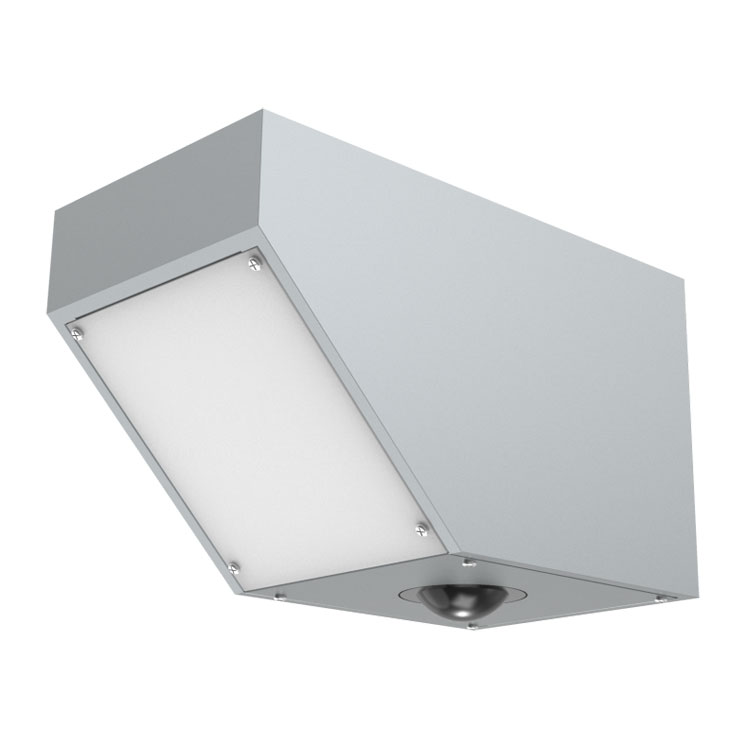
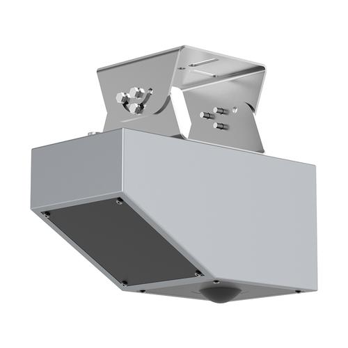
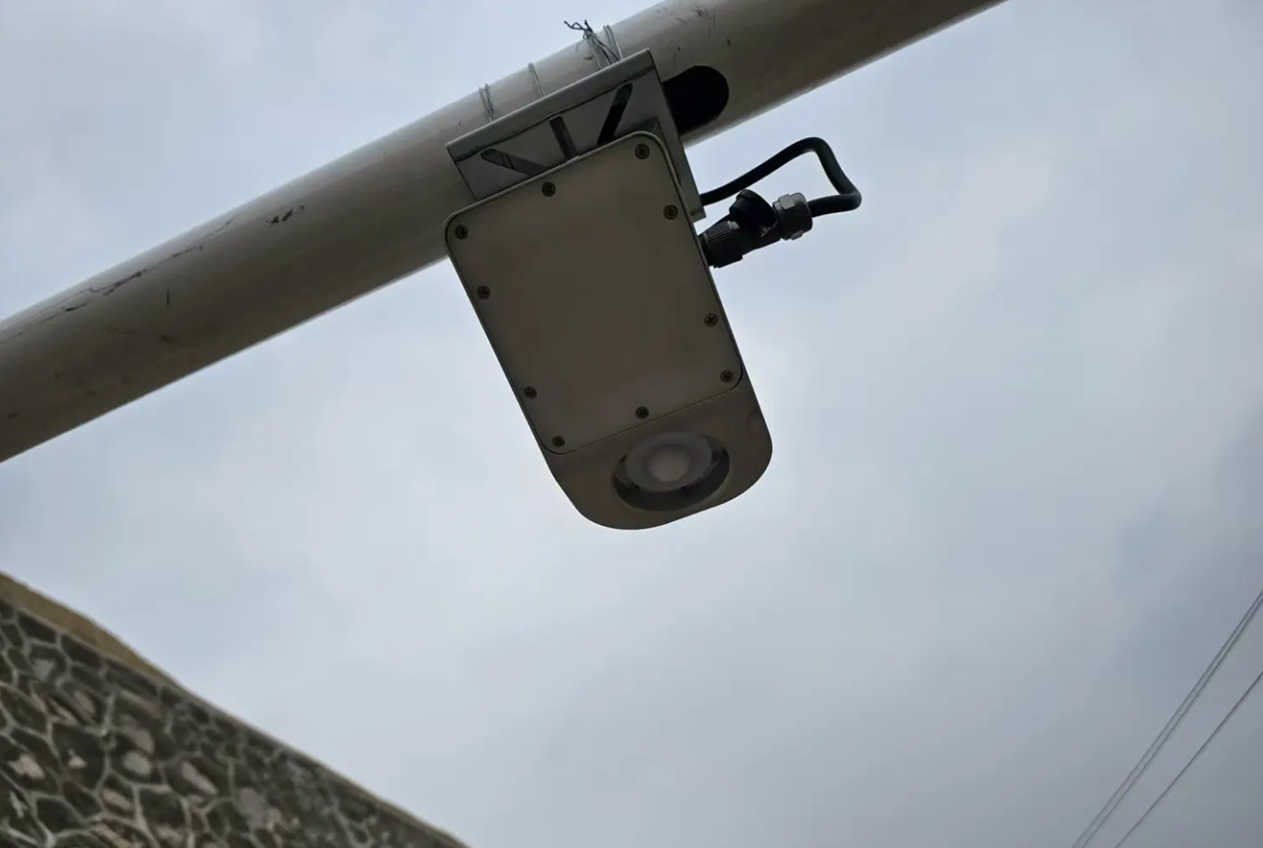
A NiuBoL non-contact radar flowmeter keeps the measuring head above the water. Check the surface velocity target and the surveyed area relationship at the proposed section. A measurement from one surface patch is not automatically the mean velocity of a divided or strongly uneven channel.
| Instrument option | Configuration parameters | What the site must provide |
|---|---|---|
| Non-contact radar flowmeter | Velocity 0.1-20 m/s; distance 0.1-65 m | A suitable surface target and a validated route to section discharge |
| Radar flowmeter supply and interface | DC 10-30 V; up to 1.3 W; RS485 Modbus RTU | Compatible acquisition and complete station power provision |
| Separate 77-79 GHz radar level configuration | Distance 0.15-65 m; 1 mm resolution; RS485 | A surveyed reference for stage; no direct velocity measurement |
| Separate radar level power and protection | DC 10-30 V; up to 0.6 W; IP67 | Appropriate overhead mounting and separately protected station connections |
A separate radar level sensor can support stage observations at another point, but it does not turn that point into a discharge station by itself. A suitable stage-discharge relationship or additional velocity information is needed where discharge is required.
Do not transfer the flowmeter's velocity range to a level-only instrument or the level sensor's enclosure rating to a complete station. Check the actual ordered configuration and identify which quantities each point will publish.
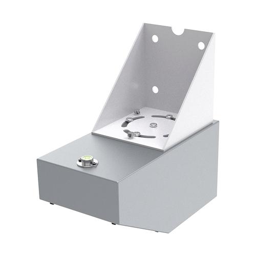
Inspect the reach during relevant low-water conditions where possible. The active stream may move away from a proposed surface-velocity target, split around a bar or become too slow for the selected method. A section that is straightforward during a commissioning release may be unsuitable later in the season.
Record bed, vegetation and channel changes that affect the area or velocity relationship. Review the measurement after significant works or flood-related changes. Keep those revisions traceable so a change in processing is not mistaken for a change in the release regime.
Where one point cannot meet both measurement and ecological observation needs, consider separate stations with explicit purposes. It is more useful to have a release station and a reach-observation station clearly identified than to assign both meanings to one ambiguous gauge.
River habitat can differ between pools, riffles and margins at the same discharge. If the project needs to assess wetted habitat, temperature or oxygen conditions, define those observations and their locations separately. Continuous discharge is an input, not a substitute for all of them.
For restoration assessment, compare observations against an appropriate baseline and account for seasonal conditions and other changes. Do not claim biodiversity protection or water-quality recovery merely because a monitoring station began operating. The equipment can document selected quantities without proving the outcome of an intervention.
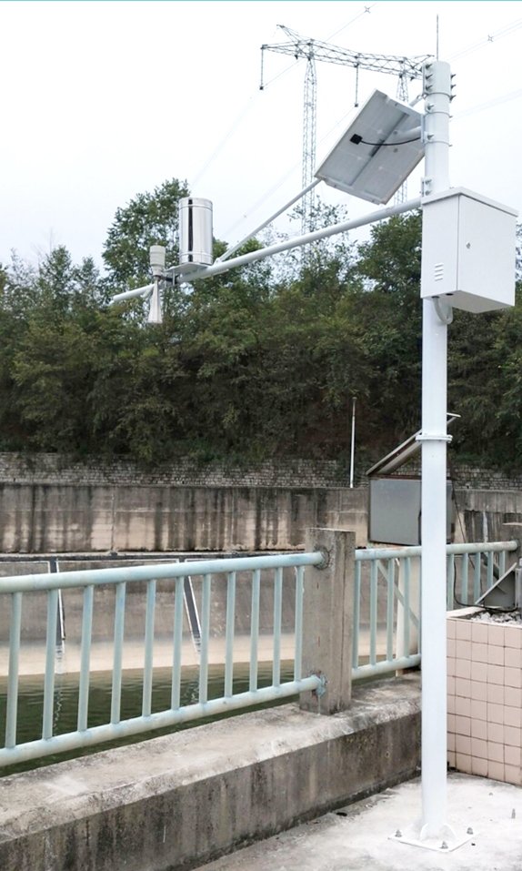
Assign each point a stable identifier, coordinates, measurement purpose and reference information. A PLC, RTU or data logger should distinguish release-route discharge, downstream discharge and stage-only records. Similar tag names can create a misleading comparison even when the instruments and transmissions work correctly.
Use acquisition times and a consistent time reference when investigating changes between points. A release change takes time to affect a downstream station, and the response may be spread by storage and tributary contributions. Compare the expected response interval rather than assuming simultaneous values must match.
Remote transfer through a gateway requires an agreed message format and handling of invalid or delayed records. RS485 Modbus RTU at the field instrument is one part of the acquisition path, not proof that the destination can identify all stations or interpret their roles.
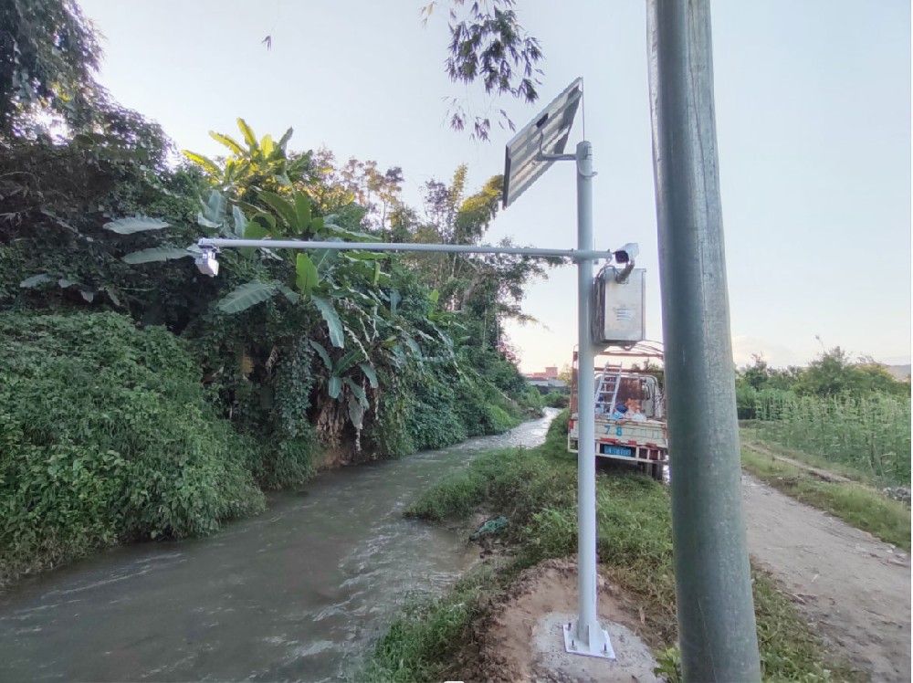
Give NiuBoL a reach sketch showing the release, diversion, return, tributaries and withdrawals, together with candidate-section photographs and low/high-water information. State which question each proposed point must answer. That allows the equipment discussion to begin with the measurement requirement rather than only the number of sensors.
Include access, flood exposure, mounting permission, power and communications conditions. Price the appropriate survey and discharge validation separately from the instruments. If the required point is difficult to measure, identify that limitation before relocating the gauge to an easier but hydrologically different reach.
The project owner and responsible specialists should approve how the selected points relate to the monitoring obligation and environmental assessment. Instrument selection can support that arrangement, but cannot resolve an undefined requirement about which part of the river must be observed.

Not by itself. Turbine return and other contributions can increase the downstream reading. Observe the bypassed reach or release route at an appropriate point if that is the required question.
No. Check that it lies in the required reach and offers representative flow, suitable geometry and a valid measurement target. Convenience does not compensate for observing the wrong contributing flows.
Only where its location and supporting observations genuinely address both purposes. Tributaries, withdrawals or returns between the release and the assessment reach often require the two records to be distinguished.
No. Assess timing, intervening flows, storage and independent measurement checks. Two erroneous instruments can agree, while two valid observations can differ for physical reasons.
It provides water-level observations. Discharge requires a demonstrated relationship or additional suitable measurements. Label stage-only points clearly rather than assigning them m3/s values without a validated computation.
Review changed release or return routes, new abstractions, channel works and shifts in the active low-flow stream. The point may continue operating while no longer answering its original monitoring question.
Provide the reach layout, purpose of each point, expected flow and level conditions, candidate sections and existing acquisition system. Include whether the scope covers release verification, downstream observations or both.
Ecological flow monitoring points should make the distinction between release delivery and downstream river conditions explicit. Map the hydraulic connections first, then select measurable sections and instruments. NiuBoL radar and acquisition equipment can support those defined observations without treating one gauge as evidence for every reach or ecological outcome.
Prev:Ecological Flow Monitoring Acceptance: Test the Minimum Release
Next:Flow and Water Quality Sensor Integration: Match Location and Sampling Time
Related recommendations
Sensors & Weather Stations Catalog
 Agriculture Sensors and Weather Stations Catalog-NiuBoL.pdf
Weather Stations Catalog-NiuBoL.pdf
Agriculture Sensors Catalog-NiuBoL.pdf
Water Quality Sensor Catalog-NiuBoL.pdf
Related products
 Combined air temperature and relative humidity sensor
 TDR Soil Moisture & Temperature Sensor for irrigation| RS485 |4-20mA| NBL-S-THR
 Soil pH sensor RS485 soil Testing instrument soil ph meter for agriculture |NBL-S-PH
 Wind Speed sensor Output Modbus/RS485/Analog/0-5V/4-20mA
 Tipping bucket rain gauge for weather monitoring auto rainfall sensor RS485/Outdoor/stainless steel
 Pyranometer Solar Radiation Sensor 4-20mA/RS485


Screenshot, WhatsApp to identify the QR code
WhatsApp number:+8615367865107
(Click on WhatsApp to copy and add friends)

