

— Blogs —
—Products—
 Consumer hotline +8618073152920
WhatsApp:+8615367865107
Address:Room 102, District D, Houhu Industrial Park, Yuelu District, Changsha City, Hunan Province, China
Product knowledge
Time:2026-09-09 14:00:00 Popularity:219
Quick Answer: A forest fire weather station measures conditions relevant to fire danger, usually wind, air temperature, relative humidity and rainfall. It does not confirm that a fire has started. Build the station around the local fire-management method, representative exposure and a tested notification path. Treat missing weather data as a monitoring fault, not as evidence of low fire danger.
A forestry department may need weather observations for daily preparedness, while a plantation operator may need local conditions at a remote site. A research team may instead be studying fuel drying. These uses can share some instruments, but they do not necessarily share the same observation schedule or alarm logic.
A fire-weather station needs representative wind, temperature, humidity, rainfall and optional fuel or soil context plus a defined alarm recipient and response procedure. Cameras, thermal imaging, smoke detection and reports from personnel are separate sources of fire-detection information. A temperature rise at a weather sensor is not, by itself, a reliable wildfire detector.
Keep these functions distinct on the platform. A weather advisory means a defined weather condition has occurred. A station-health alarm means the data source needs attention. A confirmed fire incident follows the responsible agency's detection and verification procedure. Combining all three under one red indicator creates confusion when operators most need clear information.
Where the project uses a named fire-danger system, establish its input definitions, observation times, units and initialization requirements. A dashboard showing temperature and wind does not automatically calculate that system correctly. Assign responsibility for the calculation and for reviewing the resulting categories.
For example, Canada's Fire Weather Index System uses temperature, relative humidity, wind speed and rain to calculate moisture codes and fire-behavior indices. Those outputs describe relative fire potential; they are not direct measurements of ignition or a universal prediction for every vegetation type. Use an implementation appropriate to the local program.
Do not reset a cumulative moisture or drought calculation casually after a logger restart. Historical weather, initialization and missing-data treatment can affect the result. Preserve the measured observations separately from derived indices so a calculation can be reviewed without losing the station record.
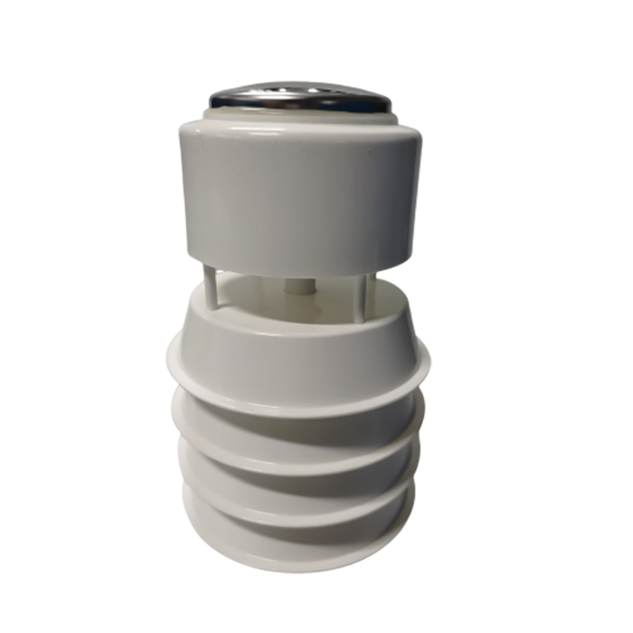
| Measurement | Use in the station | Common interpretation error |
|---|---|---|
| Wind speed and direction | Describes local airflow and supports the selected fire-weather method. | Treating one instantaneous sample as a defined gust or a regional wind field. |
| Air temperature and relative humidity | Describes atmospheric drying conditions at the measuring point. | Assuming air humidity is the moisture content of leaves, litter or wood. |
| Rainfall | Records precipitation over the required accumulation period. | Interpreting a blocked gauge's zero output as a dry period. |
| Fuel moisture or fuel temperature, where required | Provides a fuel-specific observation or model input. | Assuming an ordinary soil moisture probe measures dead fuel moisture. |
| Battery, communications and data age | Shows whether the weather record is available and current. | Leaving old readings visible without identifying their age. |
Fuel moisture is influenced by weather history and the material itself. Different fuels respond differently to wetting and drying, so one air-humidity reading cannot establish the moisture content of all nearby vegetation. Soil water content can add ecological context, but it should not be relabeled as a fuel-moisture measurement.
Additional sensors should answer a specific question. Solar radiation may support a drying study, while pressure may serve another meteorological objective. Adding channels without an intended use increases inspection, power and data-management work without necessarily improving the fire-weather decision.
A compact weather sensor can reduce mounts and wiring. Separate instruments allow wind, shielded air measurements and rainfall collection to occupy different positions. Select the arrangement that meets the required exposure and maintenance access, rather than assuming every channel should be mounted at one height.
| Component option | Relevant parameters | Project limitation |
|---|---|---|
| NBL-W-21GUWS wind sensor | 0-60 m/s; direction 0-359 degrees; 12-24 V DC; RS485 Modbus RTU; IP65 | Define averaging and gust handling. Optional heating is a separate 3 W load. |
| NBL-W-LBTH atmospheric sensor | Temperature -40 to 80 degrees C, +/-0.5 degrees C; humidity 0-100% RH, +/-5% RH; 12-24 V DC | Accuracy and exposure must suit the method. A shaded enclosure is not a substitute for representative ventilation. |
| NBL-W-RS, 0.2 mm version | 0.2 mm per tip; intensity range 0-4 mm/min; operating temperature 0-50 degrees C; reed-switch or selected electronic output | This liquid-rain configuration should not be assumed to measure frozen precipitation. |
These are component parameters, not a certification of a complete fire-weather station for a national network. If a tender requires a particular network specification, assess the supplied configuration against every relevant requirement, including observation height, accuracy, logging and communications. Do not infer compliance from a similar-looking mast.
The rain gauge's reed-switch version requires a compatible counter input. An RS485 version requires its own protocol configuration. Check the selected resolution before programming totals: ten tips at 0.2 mm per tip equal 2.0 mm, not the 5.0 mm that a 0.5 mm setting would produce.
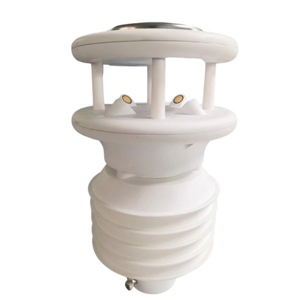
A valley floor, exposed ridge and shaded forest interior can have different weather. Choose the location with the fire-management team and identify the area the station is intended to represent. The point with the strongest cellular signal is not necessarily the most useful meteorological site.
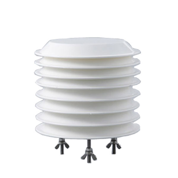
For an open-site weather record, keep wind sensing clear of immediate obstructions and place the temperature and humidity sensor in a ventilated shield away from hot equipment. Keep the rain-gauge opening level and clear of canopy drip and splash. Follow the chosen network's height and exposure requirements; do not substitute a generic installation height.
Record terrain, vegetation and nearby obstruction directions at commissioning. Revisit the exposure as vegetation grows. A time series can change after a nearby clearing or new structure even when the sensor remains calibrated. Note those site changes alongside maintenance records.
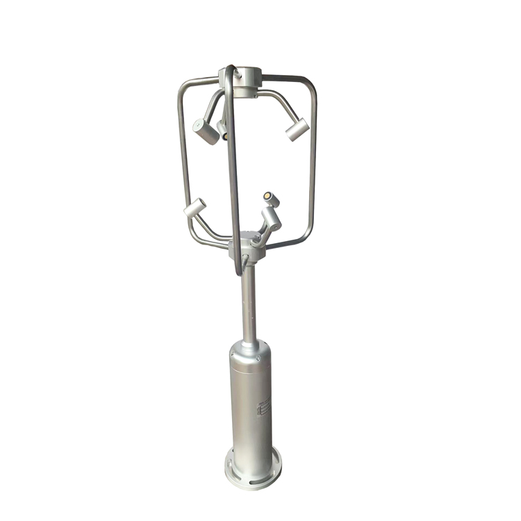
A three-dimensional anemometer may be useful for a separate study of canopy or terrain airflow. It is not automatically required for routine fire-weather reporting and does not replace the wind definition used by the chosen index. Research channels should not silently change the operational input.
Agree the threshold method with the responsible forestry or fire-management authority. There is no universal humidity-and-wind pair that can safely be copied into every forest station. The same weather may have different implications with different fuels, seasons and terrain.
For each approved notification rule, identify its input statistic, evaluation interval, persistence, reset behavior and recipient. Keep sustained wind separate from a gust defined over a shorter period. Avoid a rule that oscillates between states because readings sit close to a threshold; suitable persistence or hysteresis must be selected without concealing meaningful changes.
Evaluate data validity before evaluating the weather rule. If humidity is stale or the wind sensor is unavailable, do not substitute a reassuring value. Show that the weather assessment is incomplete and send the appropriate equipment notification. A low battery warning should reach maintenance personnel before the record disappears.
Test a complete notification from input to acknowledgment. A successful modem connection is not proof that the duty team received the message. Exercise the designated backup recipient and escalation procedure in a controlled test, without generating an unannounced real incident report.
The logger must support the selected digital and pulse inputs, acquisition intervals and local storage. RS485 Modbus RTU handles suitable field sensors; it does not define the upstream cellular service or guarantee compatibility with a remote platform. Test the receiving tags, units and timestamps with the actual configuration.
Local storage can preserve observations during a network outage, but delayed upload cannot deliver a real-time warning while the connection is down. If the operating plan depends on timely remote notifications, evaluate a suitable alternative path and test it at the site. Store-and-forward and communication redundancy solve different problems.
Size solar power from a load budget and seasonal conditions. As an illustration only, a station averaging 4 W uses 96 Wh per day. Three days require 288 Wh delivered to the load. With an assumed 80% usable battery fraction and 90% conversion efficiency, nominal storage would be 400 Wh before additional design allowances. Actual sensor, heater, modem, temperature and battery-aging requirements must replace these example assumptions.
Check modem peak current and voltage at the station during transmission, not only the daily energy total. A battery with adequate nominal capacity can still cause restarts through a weak connection or excessive cable drop. Record restart events and confirm that rainfall totals and stored observations recover correctly afterward.
Review the rain funnel for blockage, the air shield for contamination, the wind assembly for damage, and the solar panel and battery for deterioration. Compare sensor readings with suitable references and test all notification routes. Repeat inspections after severe weather or site works where conditions warrant them.
A NiuBoL station proposal should identify the intended observation method, site exposure, required sensors, receiving platform, power autonomy and service access. Include whether the station supports daily planning, operational weather advisories or research. That distinction determines the equipment and testing needed without turning an ordinary weather station into an unsupported fire-detection claim.
No. The weather measurements describe conditions at the station. Locating an ignition needs separate detection and verification arrangements. Do not present a high fire-weather index or a local temperature change as a confirmed fire location.
Not directly. Soil and above-ground fuels are different materials with different wetting and drying behavior. Use a fuel-specific measurement or a suitable model where required. Keep soil moisture labeled as soil moisture when it is included for environmental context.
Not necessarily. Terrain, elevation, vegetation and exposure determine how representative one point is. Select the network with the responsible specialists and the intended method, rather than applying a universal area-per-station rule.
No. Sensor sampling, averaging, decision rules, communication availability and operator response all affect the result. Faster upload of stale or heavily averaged data may add no useful information. Test the full observation-to-notification delay.
No blanket claim is appropriate. Check channel accuracy, exposure, observation height, recording method and network requirements. Separate instruments may be needed when the measurements require different positions or performance specifications.
Identify the gap and apply the chosen method's approved missing-data procedure. Do not automatically fill it with zero rainfall. A missing or blocked rain measurement can distort moisture calculations and should remain visible to the person reviewing the result.
Include the sensor configuration, logger inputs, local storage, communications, power system, mounting, protection and required tests. Identify recurring connectivity or platform services separately. The price should correspond to the actual monitoring task and service responsibilities.
A forest fire weather station provides useful observations when its exposure, recording method and notification rules match the local program. Keep weather risk separate from fire detection, preserve data quality during outages, and test the route to the responsible operators. More sensors cannot compensate for an unclear monitoring purpose.
Prev:3D Ultrasonic Anemometer Applications and Project Selection
Next:Automatic Soil Moisture Data Station: Architecture and System Scope
Related recommendations
Sensors & Weather Stations Catalog
 Agriculture Sensors and Weather Stations Catalog-NiuBoL.pdf
Weather Stations Catalog-NiuBoL.pdf
Agriculture Sensors Catalog-NiuBoL.pdf
Water Quality Sensor Catalog-NiuBoL.pdf
Related products
Combined air temperature and relative humidity sensor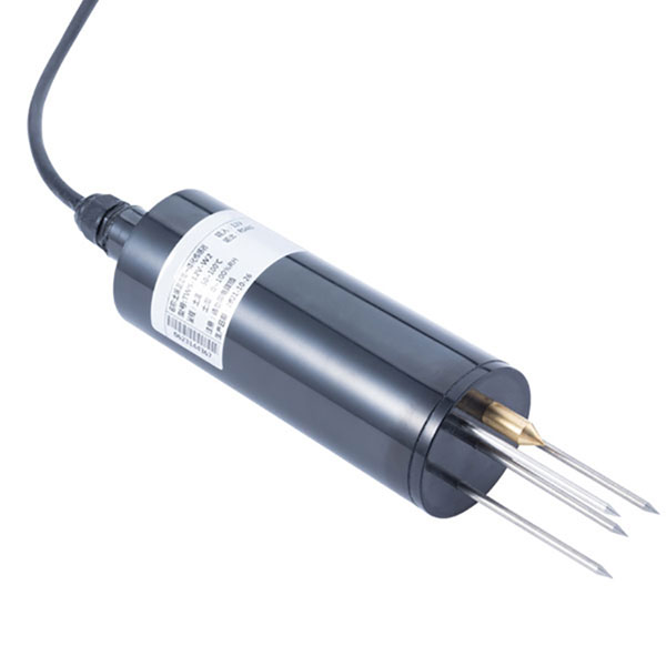 TDR Soil Moisture & Temperature Sensor for irrigation| RS485 |4-20mA| NBL-S-THR
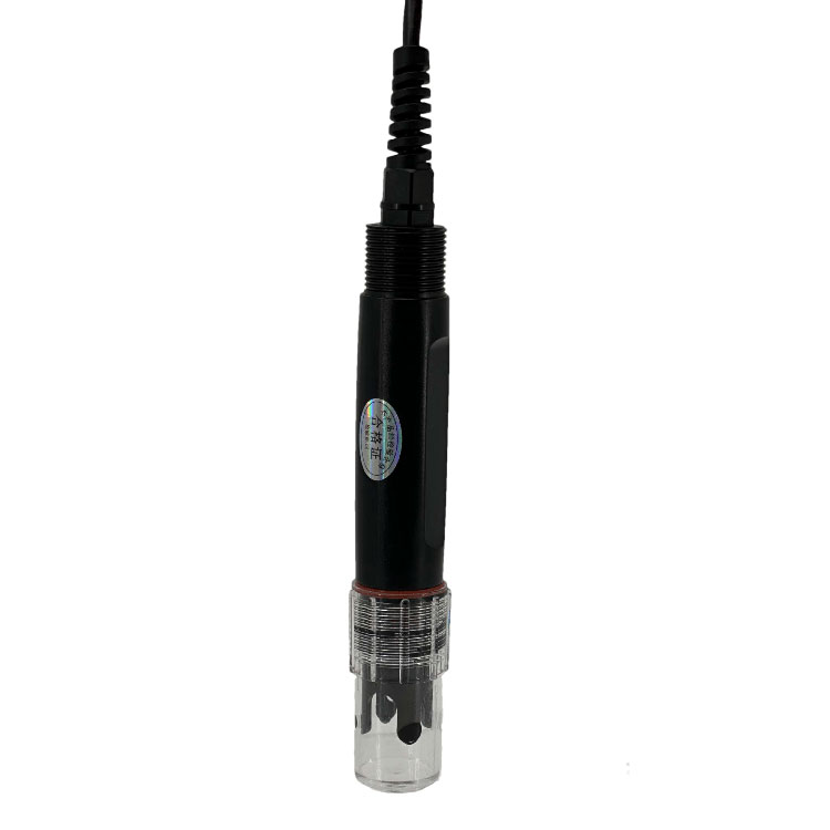 Soil pH sensor RS485 soil Testing instrument soil ph meter for agriculture |NBL-S-PH
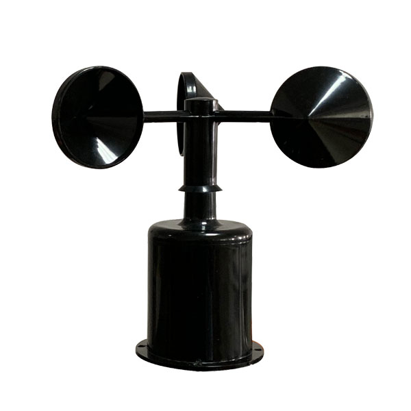 Wind Speed sensor Output Modbus/RS485/Analog/0-5V/4-20mA
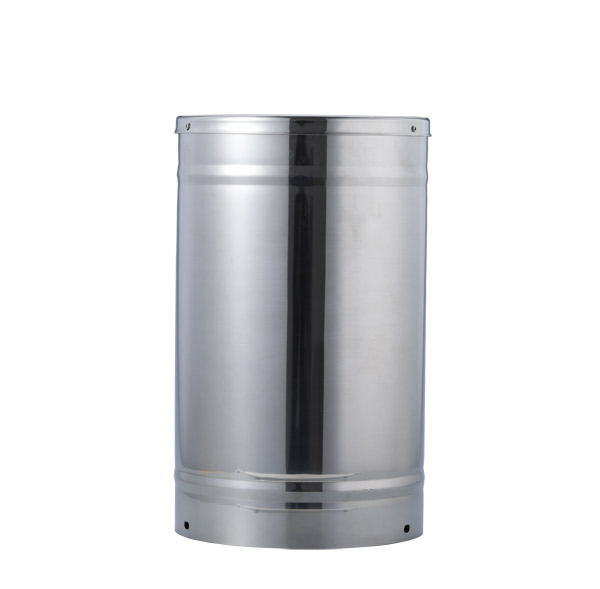 Tipping bucket rain gauge for weather monitoring auto rainfall sensor RS485/Outdoor/stainless steel
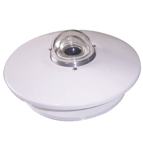 Pyranometer Solar Radiation Sensor 4-20mA/RS485


Screenshot, WhatsApp to identify the QR code
WhatsApp number:+8615367865107
(Click on WhatsApp to copy and add friends)